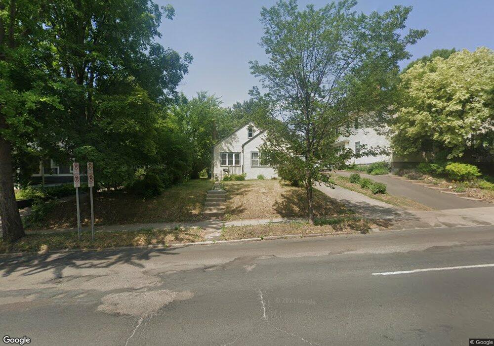
1269 Dale St N Saint Paul, MN 55117
Como Park NeighborhoodEstimated Value: $299,000 - $334,000
3
Beds
1
Bath
1,238
Sq Ft
$252/Sq Ft
Est. Value
About This Home
This home is located at 1269 Dale St N, Saint Paul, MN 55117 and is currently estimated at $311,634, approximately $251 per square foot. 1269 Dale St N is a home located in Ramsey County with nearby schools including Como Park Elementary School, Murray Middle School, and Como Park Senior High School.
Ownership History
Date
Name
Owned For
Owner Type
Purchase Details
Closed on
Apr 29, 2014
Sold by
Damsgard Diane C
Bought by
Brown Triesta M and Brown Paul
Current Estimated Value
Home Financials for this Owner
Home Financials are based on the most recent Mortgage that was taken out on this home.
Original Mortgage
$105,700
Outstanding Balance
$32,598
Interest Rate
4.41%
Estimated Equity
$279,036
Purchase Details
Closed on
Oct 30, 1996
Sold by
Wietgrefe Stephen W and Miller Nancy R
Bought by
Damsgard Anna C
Create a Home Valuation Report for This Property
The Home Valuation Report is an in-depth analysis detailing your home's value as well as a comparison with similar homes in the area
Home Values in the Area
Average Home Value in this Area
Purchase History
| Date | Buyer | Sale Price | Title Company |
|---|---|---|---|
| Brown Triesta M | $155,575 | Burnet Title | |
| Damsgard Anna C | $73,000 | -- |
Source: Public Records
Mortgage History
| Date | Status | Borrower | Loan Amount |
|---|---|---|---|
| Open | Brown Triesta M | $105,700 |
Source: Public Records
Tax History Compared to Growth
Tax History
| Year | Tax Paid | Tax Assessment Tax Assessment Total Assessment is a certain percentage of the fair market value that is determined by local assessors to be the total taxable value of land and additions on the property. | Land | Improvement |
|---|---|---|---|---|
| 2025 | $4,502 | $303,600 | $51,000 | $252,600 |
| 2023 | $4,502 | $290,000 | $51,000 | $239,000 |
| 2022 | $3,964 | $256,100 | $51,000 | $205,100 |
| 2021 | $3,556 | $244,200 | $51,000 | $193,200 |
| 2020 | $3,434 | $227,800 | $51,000 | $176,800 |
| 2019 | $3,138 | $207,100 | $46,800 | $160,300 |
| 2018 | $3,182 | $189,000 | $46,800 | $142,200 |
| 2017 | $2,776 | $198,900 | $42,800 | $156,100 |
| 2016 | $2,446 | $0 | $0 | $0 |
| 2015 | $3,294 | $149,100 | $48,600 | $100,500 |
| 2014 | $3,152 | $0 | $0 | $0 |
Source: Public Records
Map
Nearby Homes
- 1241 Maywood St
- 1342 Dale St N
- tbd MacKubin St
- 766 Maryland Ave W
- 1165 Norton St
- 1464 Maywood St
- 1176 Norton St
- 1175 Arundel St
- 1005 Como Blvd E
- 1063 Dale St N
- 1104 MacKubin St
- 1222 Como Blvd E
- 1049 Kent St
- 705 Como Ave
- 740 Como Ave
- 397 Cottage Ave W Unit 3
- 1457 Arundel St
- 1539 Dale St N
- 569 Hatch Ave
- 408 Arlington Ave W
- 1269 1269 Dale St N
- 1275 Dale St N
- 1261 Dale St N
- 645 645 Orange-Avenue-w
- 645 Orange Ave W
- 1281 Dale St N
- 1278 Maywood St
- 649 Orange Ave W
- 1284 Maywood St
- 1287 Dale St N
- 1290 Maywood St
- 634 Orange Ave W
- 1255 Dale St N
- 1268 1268 Dale St N
- 1268 1268 Dale-Street-n
- 1264 Dale St N
- 640 Orange Ave W
- 640 640 Orange-Avenue-w
- 1274 Dale St N
- 1293 Dale St N