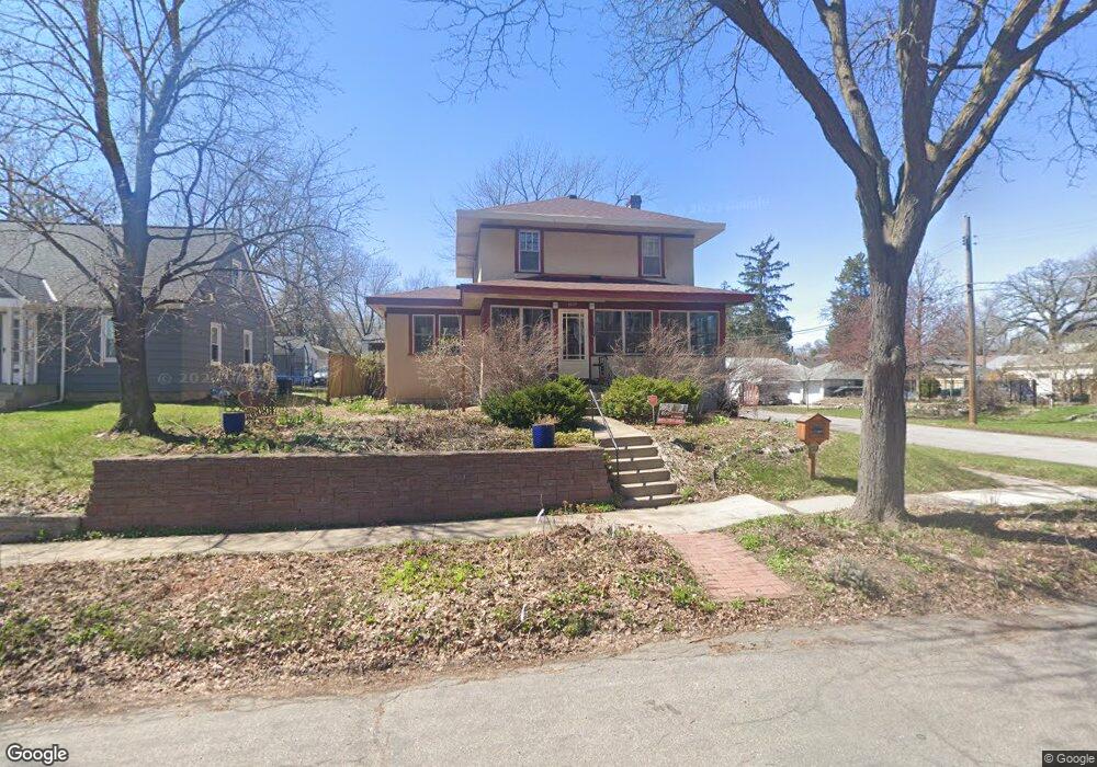
1269 Folsom St Saint Paul, MN 55117
Como Park NeighborhoodEstimated Value: $385,000 - $455,000
3
Beds
2
Baths
1,464
Sq Ft
$286/Sq Ft
Est. Value
About This Home
This home is located at 1269 Folsom St, Saint Paul, MN 55117 and is currently estimated at $419,180, approximately $286 per square foot. 1269 Folsom St is a home located in Ramsey County with nearby schools including Como Park Elementary School, Murray Middle School, and Como Park Senior High School.
Ownership History
Date
Name
Owned For
Owner Type
Purchase Details
Closed on
Aug 1, 2023
Sold by
Plante Ronald A and Plante Judyann C
Bought by
Ronald A Plante And Judyann C Plante Joint Tr and Plante
Current Estimated Value
Purchase Details
Closed on
Jan 31, 1996
Sold by
No Scott Leo J
Bought by
Plante Ronald A and Plante Judy A
Create a Home Valuation Report for This Property
The Home Valuation Report is an in-depth analysis detailing your home's value as well as a comparison with similar homes in the area
Home Values in the Area
Average Home Value in this Area
Purchase History
| Date | Buyer | Sale Price | Title Company |
|---|---|---|---|
| Ronald A Plante And Judyann C Plante Joint Tr | $500 | None Listed On Document | |
| Plante Ronald A | $124,000 | -- |
Source: Public Records
Tax History Compared to Growth
Tax History
| Year | Tax Paid | Tax Assessment Tax Assessment Total Assessment is a certain percentage of the fair market value that is determined by local assessors to be the total taxable value of land and additions on the property. | Land | Improvement |
|---|---|---|---|---|
| 2025 | $6,110 | $443,800 | $60,000 | $383,800 |
| 2023 | $6,110 | $396,200 | $60,000 | $336,200 |
| 2022 | $5,518 | $391,900 | $60,000 | $331,900 |
| 2021 | $5,020 | $333,800 | $60,000 | $273,800 |
| 2020 | $5,070 | $327,400 | $60,000 | $267,400 |
| 2019 | $4,448 | $297,600 | $55,000 | $242,600 |
| 2018 | $4,510 | $260,400 | $55,000 | $205,400 |
| 2017 | $3,848 | $274,100 | $46,400 | $227,700 |
| 2016 | $3,610 | $0 | $0 | $0 |
| 2015 | $3,720 | $218,600 | $46,400 | $172,200 |
| 2014 | $3,732 | $0 | $0 | $0 |
Source: Public Records
Map
Nearby Homes
- 1222 Como Blvd E
- 766 Maryland Ave W
- 1005 Como Blvd E
- 1241 Maywood St
- 1342 Dale St N
- 1084 Ryde St
- 1464 Maywood St
- 740 Como Ave
- 1063 Dale St N
- 705 Como Ave
- 1038 Colne St
- 1083 Chatsworth St N
- tbd MacKubin St
- 989 Barrett St
- 1049 Kent St
- 1539 Dale St N
- 1165 Norton St
- 895 Front Ave
- 1174 Lexington Pkwy N
- 1176 Norton St
- 1265 Folsom St
- 1275 Folsom St
- 779 Wheelock Pkwy W
- 1272 Avon St N
- 1268 Avon St N
- 1281 Folsom St
- 1262 Avon St N
- 1278 Avon St N
- 1285 Folsom St
- 1258 Avon St N
- 1258 1258 Avon-Street-n
- 1284 Avon St N
- 1276 Folsom St
- 1291 Folsom St
- 1288 Avon St N
- 795 795 Wheelock-Parkway-w
- 1286 Folsom St
- 795 Wheelock Pkwy W
- 1292 Avon St N
- 1290 Folsom St