1269 Taylor St Shakopee, MN 55379
Estimated Value: $205,646 - $256,000
3
Beds
2
Baths
1,216
Sq Ft
$193/Sq Ft
Est. Value
About This Home
This home is located at 1269 Taylor St, Shakopee, MN 55379 and is currently estimated at $234,662, approximately $192 per square foot. 1269 Taylor St is a home located in Scott County with nearby schools including Jackson Elementary School, East Middle School, and Shakopee Senior High School.
Ownership History
Date
Name
Owned For
Owner Type
Purchase Details
Closed on
Aug 26, 2009
Sold by
Us Bank National Association
Bought by
Fogelberg Joel R and Fogelberg Luann M
Current Estimated Value
Purchase Details
Closed on
Mar 23, 2007
Sold by
T J Waconia Inc
Bought by
Swanston Punor Basie
Create a Home Valuation Report for This Property
The Home Valuation Report is an in-depth analysis detailing your home's value as well as a comparison with similar homes in the area
Home Values in the Area
Average Home Value in this Area
Purchase History
| Date | Buyer | Sale Price | Title Company |
|---|---|---|---|
| Fogelberg Joel R | $50,000 | -- | |
| Swanston Punor Basie | $193,900 | -- |
Source: Public Records
Tax History Compared to Growth
Tax History
| Year | Tax Paid | Tax Assessment Tax Assessment Total Assessment is a certain percentage of the fair market value that is determined by local assessors to be the total taxable value of land and additions on the property. | Land | Improvement |
|---|---|---|---|---|
| 2025 | $1,598 | $162,400 | $45,600 | $116,800 |
| 2024 | $1,600 | $150,200 | $43,500 | $106,700 |
| 2023 | $1,638 | $148,000 | $42,600 | $105,400 |
| 2022 | $1,620 | $149,600 | $43,600 | $106,000 |
| 2021 | $1,394 | $126,700 | $34,200 | $92,500 |
| 2020 | $1,554 | $119,300 | $26,300 | $93,000 |
| 2019 | $1,496 | $116,900 | $27,800 | $89,100 |
| 2018 | $1,410 | $0 | $0 | $0 |
| 2016 | $1,386 | $0 | $0 | $0 |
| 2014 | -- | $0 | $0 | $0 |
Source: Public Records
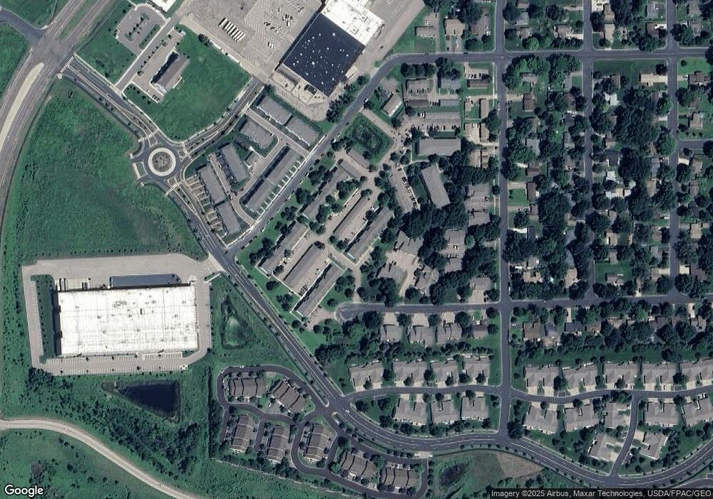
Map
Nearby Homes
- 2075 13th Ave W
- 1259 Taylor St Unit 3
- 1279 Taylor St Unit 5
- 1226 Polk St S
- 2224 Quarry Ln
- 2123 Agate Curve
- 1853 Stone Meadow Blvd
- 1538 12th Ave W
- 1187 Jackson St S
- 2007 10th Ave W Unit 12
- 1813 6th Ave W
- 1690 Windigo Ln
- 816 Regent Dr
- The Ferguson Plan at Bluff View - Cottage Series
- The Edison Plan at Bluff View - Cottage Series
- The Tatum Plan at Bluff View - Cottage Series
- The Pattison Plan at Bluff View - Cottage Series
- The Harmony Plan at Bluff View - Freedom Series
- The Dover II Plan at Bluff View - Freedom Series
- The Clifton II Plan at Bluff View - Freedom Series
- 1269 Taylor St
- 1269 Taylor St
- 1269 Taylor St
- 1269 Taylor St
- 1269 Taylor St
- 1269 Taylor St
- 1269 Taylor St
- 1269 Taylor St
- 1269 Taylor St
- 1269 Taylor St
- 1269 Taylor St
- 1269 Taylor St
- 1269 Taylor St
- 1269 Taylor St
- 1269 Taylor St
- 1269 Taylor St Unit 12
- 1269 Taylor St Unit 6910
- 1269 Taylor St Unit 6907
- 1269 Taylor St Unit 6903
- 1269 Taylor St Unit 6904