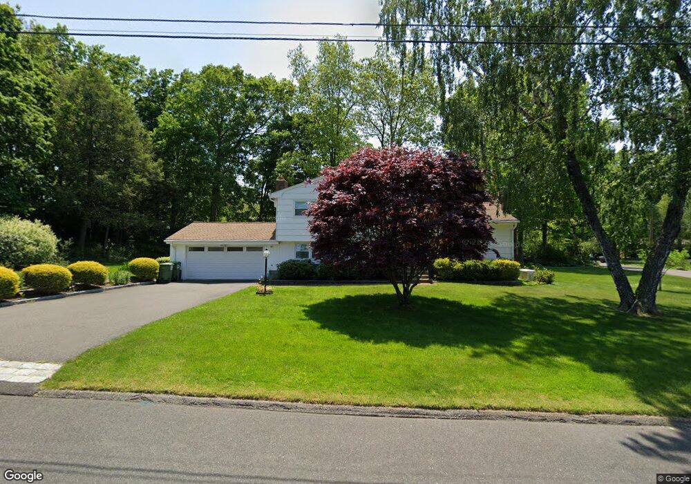
127 Campbell Rd Trumbull, CT 06611
West Trumbull NeighborhoodEstimated Value: $534,542 - $631,000
3
Beds
3
Baths
1,198
Sq Ft
$481/Sq Ft
Est. Value
About This Home
This home is located at 127 Campbell Rd, Trumbull, CT 06611 and is currently estimated at $576,386, approximately $481 per square foot. 127 Campbell Rd is a home located in Fairfield County with nearby schools including Frenchtown Elementary School, Madison Middle School, and Trumbull High School.
Ownership History
Date
Name
Owned For
Owner Type
Purchase Details
Closed on
Nov 16, 1992
Sold by
Kich Albert and Kich Rose Mary
Bought by
Vanbuskirk William and Vanbuskirk Ann
Current Estimated Value
Home Financials for this Owner
Home Financials are based on the most recent Mortgage that was taken out on this home.
Original Mortgage
$75,600
Interest Rate
7.88%
Mortgage Type
Unknown
Create a Home Valuation Report for This Property
The Home Valuation Report is an in-depth analysis detailing your home's value as well as a comparison with similar homes in the area
Home Values in the Area
Average Home Value in this Area
Purchase History
| Date | Buyer | Sale Price | Title Company |
|---|---|---|---|
| Vanbuskirk William | $215,000 | -- |
Source: Public Records
Mortgage History
| Date | Status | Borrower | Loan Amount |
|---|---|---|---|
| Open | Vanbuskirk William | $68,500 | |
| Closed | Vanbuskirk William | $75,600 |
Source: Public Records
Tax History Compared to Growth
Tax History
| Year | Tax Paid | Tax Assessment Tax Assessment Total Assessment is a certain percentage of the fair market value that is determined by local assessors to be the total taxable value of land and additions on the property. | Land | Improvement |
|---|---|---|---|---|
| 2025 | $8,894 | $242,060 | $140,210 | $101,850 |
| 2024 | $8,643 | $242,060 | $140,210 | $101,850 |
| 2023 | $8,505 | $242,060 | $140,210 | $101,850 |
| 2022 | $8,368 | $242,060 | $140,210 | $101,850 |
| 2021 | $13,272 | $202,370 | $114,730 | $87,640 |
| 2020 | $12,491 | $202,370 | $114,730 | $87,640 |
| 2018 | $7,056 | $202,370 | $114,730 | $87,640 |
| 2017 | $6,925 | $202,370 | $114,730 | $87,640 |
| 2016 | $6,747 | $202,370 | $114,730 | $87,640 |
| 2015 | $6,738 | $201,300 | $114,700 | $86,600 |
| 2014 | $6,595 | $201,300 | $114,700 | $86,600 |
Source: Public Records
Map
Nearby Homes
- 42 Wendy Rd
- 26 Wendy Rd
- 81 Lance Cir
- 44 Lance Cir Unit 44
- 153 Seaver Cir
- 66 Loftus Cir
- lot 194 Prospect Ave
- 65 Dobson St
- 64 Dobson St
- 76 Hilary Cir Unit 76
- 4293 Madison Ave
- 178 Autumn Ridge Rd
- 2851 Old Town Rd
- 93 Tersana Dr
- 87 Parkway Dr
- 236 Edgemoor Rd Unit D
- 394 Anton Dr
- 9 Patricia Rd Unit C
- 2998 Madison Ave Unit C
- 2955 Madison Ave Unit 40
- 88 Raleigh Rd
- 74 Raleigh Rd
- 121 Campbell Rd
- 182 Plattsville Rd
- 86 Raleigh Rd
- 60 Raleigh Rd
- 139 Plattsville Rd
- 46 Raleigh Rd
- 75 Maybrook Rd
- 95 Raleigh Rd
- 120 Campbell Rd
- 159 Plattsville Rd
- 230 Plattsville Rd
- 113 Campbell Rd
- 32 Raleigh Rd
- 20 Raleigh Rd
- 59 Maybrook Rd
- 70 Plattsville Rd
- 74 Maybrook Rd
- 189 Plattsville Rd