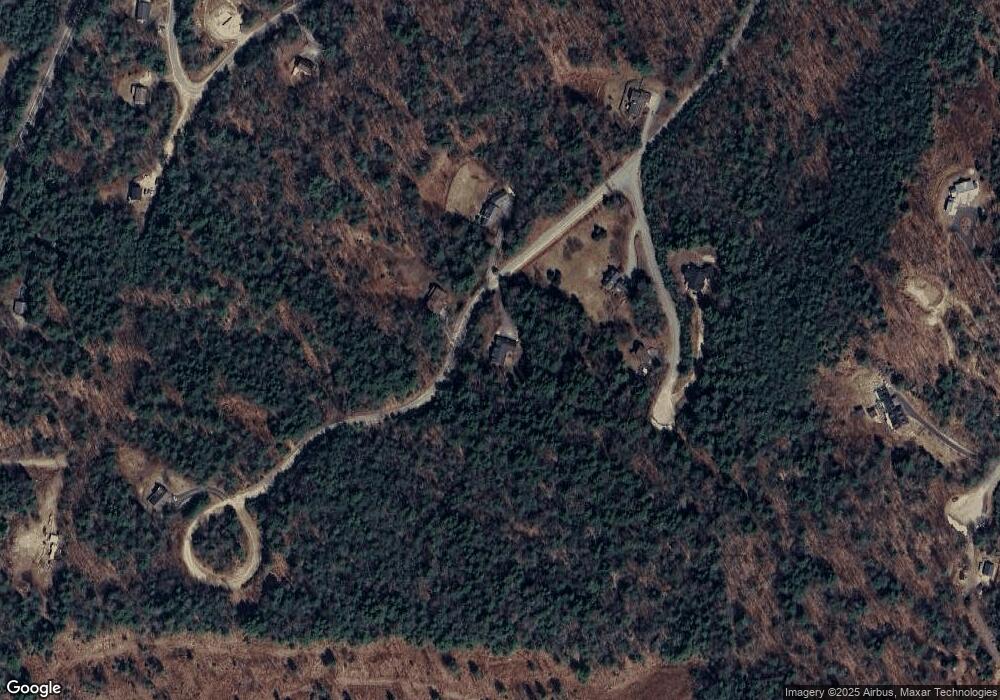
127 Merrill Rd Campton, NH 03223
Estimated Value: $697,000 - $822,000
3
Beds
2
Baths
3,171
Sq Ft
$235/Sq Ft
Est. Value
About This Home
This home is located at 127 Merrill Rd, Campton, NH 03223 and is currently estimated at $743,761, approximately $234 per square foot. 127 Merrill Rd is a home located in Grafton County with nearby schools including Campton Elementary School and Plymouth Regional High School.
Ownership History
Date
Name
Owned For
Owner Type
Purchase Details
Closed on
Jul 13, 2004
Sold by
Haslett Harry
Bought by
Heise Joseph T and Heise Mary Edith Kova
Current Estimated Value
Create a Home Valuation Report for This Property
The Home Valuation Report is an in-depth analysis detailing your home's value as well as a comparison with similar homes in the area
Home Values in the Area
Average Home Value in this Area
Purchase History
| Date | Buyer | Sale Price | Title Company |
|---|---|---|---|
| Heise Joseph T | $29,900 | -- |
Source: Public Records
Mortgage History
| Date | Status | Borrower | Loan Amount |
|---|---|---|---|
| Open | Heise Joseph T | $272,191 | |
| Closed | Heise Joseph T | $287,200 | |
| Closed | Heise Joseph T | $190,000 | |
| Closed | Heise Joseph T | $53,300 |
Source: Public Records
Tax History Compared to Growth
Tax History
| Year | Tax Paid | Tax Assessment Tax Assessment Total Assessment is a certain percentage of the fair market value that is determined by local assessors to be the total taxable value of land and additions on the property. | Land | Improvement |
|---|---|---|---|---|
| 2024 | $10,299 | $598,100 | $208,300 | $389,800 |
| 2023 | $9,212 | $320,200 | $65,300 | $254,900 |
| 2022 | $8,091 | $320,200 | $65,300 | $254,900 |
| 2021 | $7,995 | $320,200 | $65,300 | $254,900 |
| 2020 | $7,771 | $320,200 | $65,300 | $254,900 |
| 2019 | $7,432 | $320,200 | $65,300 | $254,900 |
| 2018 | $7,730 | $302,800 | $58,300 | $244,500 |
| 2017 | $7,482 | $301,700 | $58,300 | $243,400 |
| 2016 | $7,208 | $301,700 | $58,300 | $243,400 |
| 2015 | $6,912 | $301,700 | $58,300 | $243,400 |
| 2014 | $7,078 | $301,700 | $58,300 | $243,400 |
| 2013 | $6,321 | $316,200 | $71,300 | $244,900 |
Source: Public Records
Map
Nearby Homes
- 172 Merrill Rd
- 32 Merrill Rd
- 90 Sunset Cir
- 20 Merrill Rd
- 12 Streamside Rd Unit 9
- 12 Streamside Rd Unit 7
- 8 Streamside Rd Unit 3
- 0 Myrtle St Unit 2 5029940
- 99 Pinnacle Rd
- H-15 Tobey Rd
- 77 Richardson Trail Unit 34
- 399 Nh Route 49
- 182 Pinnacle Rd Unit 6
- 10-6 Page Rd
- 0 Richardson Trail Unit 9 5058146
- 8 Panaway Dr
- 18 Panaway Dr
- NH New Hampshire Route 175
- 1354 Nh Route 175
- 13 Overlook Rd
- 134 Merrill Rd
- 12 Willis Ct
- 18 Willis Ct
- 126 Merrill Rd
- 126 Merrill Rd Unit Lot 45, Phase 3
- 25 Willis Ct
- 0 Pinnacle Rd Unit 4931479
- 0 Pinnacle Rd Unit Lot 9
- Lot 18 Willis Ct
- 0 Willis Ct Unit 17 4708522
- 0 Willis Ct Unit 18 4751816
- 0 Willis Ct Unit 17 4742741
- 0 Willis Ct
- 108 Merrill Rd
- 18 Driftwood Rd
- 15 Merrill Rd
- 130 Deacon Willey Rd
- 40 Boot Jack Rd
- 7 Driftwood Rd
- 130 Deacon Willey Rd
