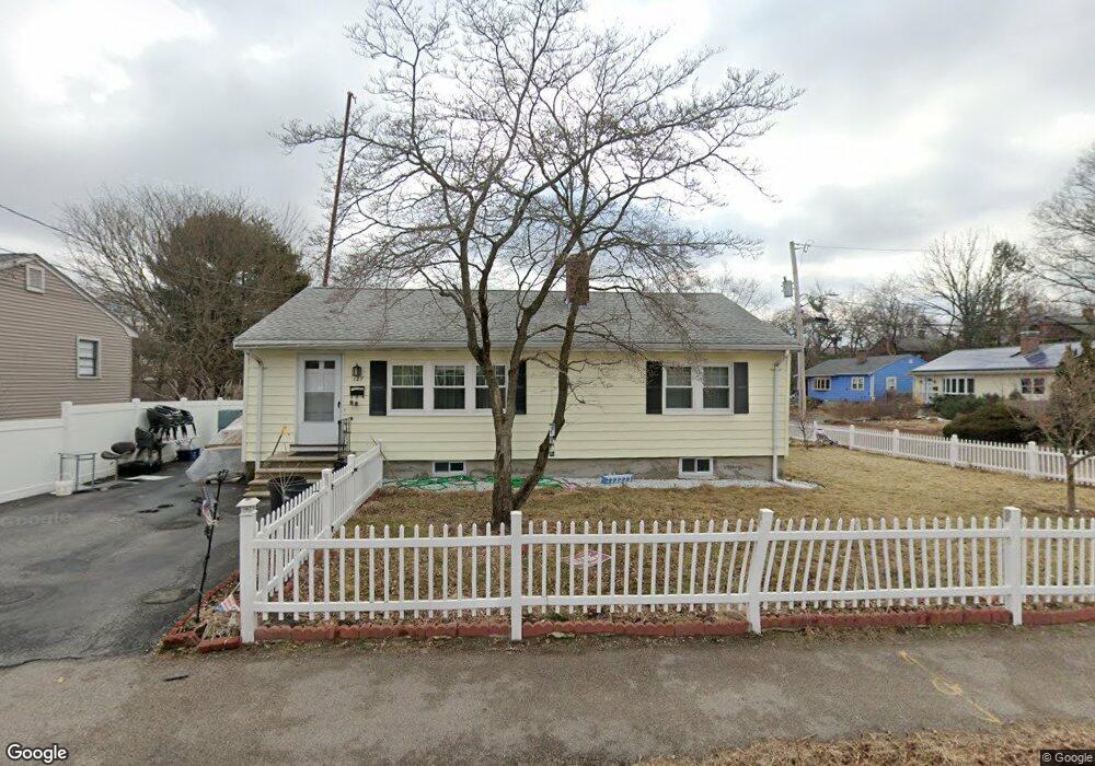
127 N Union St Arlington, MA 02474
East Arlington NeighborhoodEstimated Value: $760,094 - $852,000
2
Beds
1
Bath
1,040
Sq Ft
$785/Sq Ft
Est. Value
About This Home
This home is located at 127 N Union St, Arlington, MA 02474 and is currently estimated at $816,024, approximately $784 per square foot. 127 N Union St is a home located in Middlesex County with nearby schools including Thompson School, Ottoson Middle School, and Arlington High School.
Ownership History
Date
Name
Owned For
Owner Type
Purchase Details
Closed on
Nov 22, 2024
Sold by
Singh Avtar
Bought by
Singh Ft and Singh
Current Estimated Value
Purchase Details
Closed on
Feb 23, 2016
Sold by
Moran Marie R
Bought by
127 North Union Street and Moran
Create a Home Valuation Report for This Property
The Home Valuation Report is an in-depth analysis detailing your home's value as well as a comparison with similar homes in the area
Home Values in the Area
Average Home Value in this Area
Purchase History
| Date | Buyer | Sale Price | Title Company |
|---|---|---|---|
| Singh Ft | -- | None Available | |
| Singh Ft | -- | None Available | |
| 127 North Union Street | -- | -- | |
| 127 North Union Street | -- | -- |
Source: Public Records
Mortgage History
| Date | Status | Borrower | Loan Amount |
|---|---|---|---|
| Previous Owner | 127 North Union Street | $325,000 | |
| Previous Owner | 127 North Union Street | $50,000 |
Source: Public Records
Tax History Compared to Growth
Tax History
| Year | Tax Paid | Tax Assessment Tax Assessment Total Assessment is a certain percentage of the fair market value that is determined by local assessors to be the total taxable value of land and additions on the property. | Land | Improvement |
|---|---|---|---|---|
| 2025 | $7,547 | $700,700 | $481,400 | $219,300 |
| 2024 | $6,969 | $658,100 | $457,300 | $200,800 |
| 2023 | $6,729 | $600,300 | $409,200 | $191,100 |
| 2022 | $6,322 | $553,600 | $385,100 | $168,500 |
| 2021 | $6,206 | $547,300 | $385,100 | $162,200 |
| 2020 | $6,053 | $547,300 | $385,100 | $162,200 |
| 2019 | $5,607 | $498,000 | $349,000 | $149,000 |
| 2018 | $5,822 | $480,000 | $331,000 | $149,000 |
| 2017 | $5,499 | $437,800 | $288,800 | $149,000 |
| 2016 | $5,065 | $395,700 | $246,700 | $149,000 |
| 2015 | $5,108 | $377,000 | $228,700 | $148,300 |
Source: Public Records
Map
Nearby Homes
- 6 Gordon Rd
- 23 Yale Rd
- 166 Arlington St
- 395 Alewife Brook Pkwy Unit 2C
- 395 Alewife Brook Pkwy Unit PH E
- 111 Sharon St Unit 1
- 29 Dartmouth St Unit 29
- 69 Sterling St
- 132 Rawson Rd Unit 132
- 327 Alewife Brook Pkwy Unit A
- 94 Rawson Rd Unit 94
- 44 Woods Ave Unit 44
- 31 Fairfax St
- 69 Arlington St
- 21 High St
- 9 Woods Ave
- 16 Hamilton Rd
- 16 High St Unit 2
- 42-44 Warren St Unit 42
- 66 Canal St Unit C
- 131 N Union St
- 138 N Union St
- 138 N Union St Unit 2
- 7 Gordon Rd
- 121 N Union St
- 76 Decatur St
- 70 Decatur St
- 10 Gordon Rd
- 78 Decatur St
- 78 Decatur St Unit 3
- 78 Decatur St
- 66 Decatur St
- 11 Gordon Rd
- 134 N Union St
- 134 N Union St Unit 1
- 62 Decatur St
- 130 N Union St
- 90 Decatur St
- 77-79 Decatur St
- 77 Decatur St Unit 79