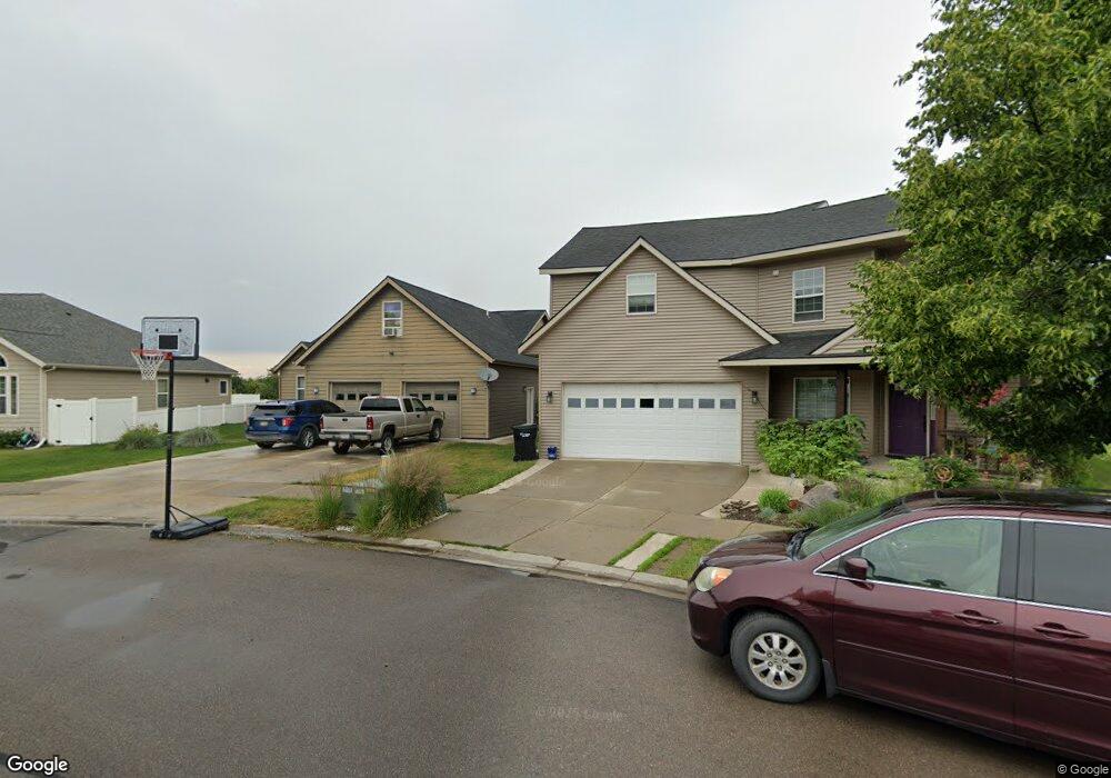
127 Rimrock Ct Kalispell, MT 59901
Estimated Value: $514,849 - $607,000
3
Beds
3
Baths
2,884
Sq Ft
$196/Sq Ft
Est. Value
About This Home
This home is located at 127 Rimrock Ct, Kalispell, MT 59901 and is currently estimated at $566,212, approximately $196 per square foot. 127 Rimrock Ct is a home located in Flathead County with nearby schools including Lillian Peterson School, Flathead High School, and St. Matthew's School.
Ownership History
Date
Name
Owned For
Owner Type
Purchase Details
Closed on
Nov 23, 2010
Sold by
Federal Home Loan Mortgage Corporation
Bought by
Brown Lora and Brown Dawn
Current Estimated Value
Home Financials for this Owner
Home Financials are based on the most recent Mortgage that was taken out on this home.
Original Mortgage
$196,890
Outstanding Balance
$130,434
Interest Rate
4.35%
Mortgage Type
New Conventional
Estimated Equity
$435,778
Purchase Details
Closed on
Apr 5, 2010
Sold by
Ocwen Loan Servicing Llc
Bought by
Federal Home Loan Mortgage Corp
Purchase Details
Closed on
Jul 27, 2005
Sold by
Alpine Peak Construction Inc
Bought by
Husted Paul and Husted Mary J
Create a Home Valuation Report for This Property
The Home Valuation Report is an in-depth analysis detailing your home's value as well as a comparison with similar homes in the area
Home Values in the Area
Average Home Value in this Area
Purchase History
| Date | Buyer | Sale Price | Title Company |
|---|---|---|---|
| Brown Lora | -- | Fidelity National Title | |
| Federal Home Loan Mortgage Corp | -- | None Available | |
| Ocwen Loan Servicing Llc | $204,979 | None Available | |
| Husted Paul | -- | Citizens Title And Escrow Co |
Source: Public Records
Mortgage History
| Date | Status | Borrower | Loan Amount |
|---|---|---|---|
| Open | Brown Lora | $196,890 |
Source: Public Records
Tax History Compared to Growth
Tax History
| Year | Tax Paid | Tax Assessment Tax Assessment Total Assessment is a certain percentage of the fair market value that is determined by local assessors to be the total taxable value of land and additions on the property. | Land | Improvement |
|---|---|---|---|---|
| 2025 | $2,325 | $459,384 | $0 | $0 |
| 2024 | $2,716 | $348,819 | $0 | $0 |
| 2023 | $3,390 | $348,819 | $0 | $0 |
| 2022 | $3,196 | $244,249 | $0 | $0 |
| 2021 | $3,189 | $244,249 | $0 | $0 |
| 2020 | $3,019 | $216,565 | $0 | $0 |
| 2019 | $3,018 | $216,565 | $0 | $0 |
| 2018 | $4,047 | $298,900 | $0 | $0 |
| 2017 | $3,945 | $298,900 | $0 | $0 |
| 2016 | $3,725 | $311,500 | $0 | $0 |
| 2015 | $3,722 | $311,500 | $0 | $0 |
| 2014 | $3,352 | $166,367 | $0 | $0 |
Source: Public Records
Map
Nearby Homes
- 135 Rimrock Ct
- 91 Denver Ave
- 305 Bismark St
- 304 Bismark St
- 7 and 9 Stratford Dr
- 31 Austin St
- 908 Ashley Dr
- 1483 & 1485 Western Dr
- 1814 N Belmar Dr
- 1418 6th Ave W
- 1517 5th Ave W
- 1971 Bluestone Dr
- 1313 7th Ave W
- 1308 7th Ave W
- 1996/1998 Greatview
- 2035 Teal Dr
- 8 Primrose Ct
- 124 Trillium Way
- 2224 Pintail Ct
- 48 Trillium Way
- 123 Rimrock Ct
- 131 Rimrock Ct
- 119 Rimrock Ct
- 115 Rimrock Ct
- 115 Rimrock Ct
- 120 Rimrock Ct
- 139 Rimrock Ct
- 139 Rim Rock Ct
- 143 Rimrock Ct
- 116 Rim Rock Ct
- 143 Rim Rock Ct
- 116 Rimrock Ct
- 111 Rimrock Ct
- 111 Denver Ave
- 144 Rimrock Ct
- 147 Rimrock Ct
- 107 Denver Ave
- 107 Denver Ave
- 115 Denver Ave
- 148 Rimrock Ct