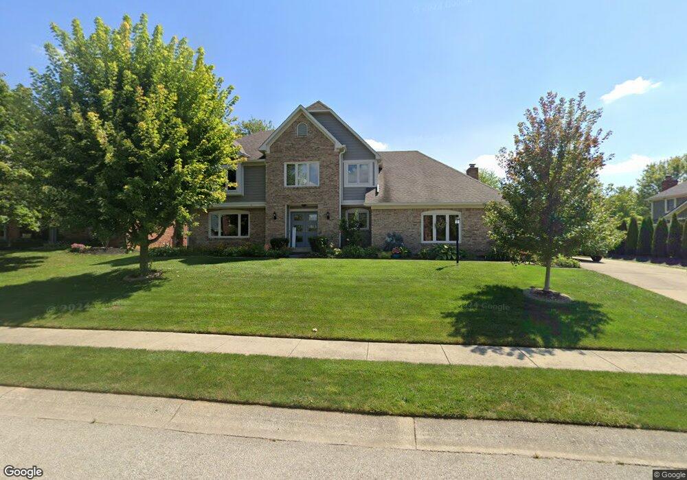
12709 Bay Run Ct Indianapolis, IN 46236
Geist NeighborhoodEstimated Value: $503,000 - $581,000
4
Beds
3
Baths
3,276
Sq Ft
$165/Sq Ft
Est. Value
About This Home
This home is located at 12709 Bay Run Ct, Indianapolis, IN 46236 and is currently estimated at $540,209, approximately $164 per square foot. 12709 Bay Run Ct is a home located in Marion County with nearby schools including Amy Beverland Elementary School, Belzer Middle School, and Lawrence Central High School.
Ownership History
Date
Name
Owned For
Owner Type
Purchase Details
Closed on
Jun 29, 2009
Sold by
Leist Michael N and Leist Carrie Otto
Bought by
Leist Michael N and Leist Carrie Otto
Current Estimated Value
Home Financials for this Owner
Home Financials are based on the most recent Mortgage that was taken out on this home.
Original Mortgage
$237,800
Interest Rate
5.32%
Mortgage Type
New Conventional
Create a Home Valuation Report for This Property
The Home Valuation Report is an in-depth analysis detailing your home's value as well as a comparison with similar homes in the area
Home Values in the Area
Average Home Value in this Area
Purchase History
| Date | Buyer | Sale Price | Title Company |
|---|---|---|---|
| Leist Michael N | -- | Royal Title Services Inc |
Source: Public Records
Mortgage History
| Date | Status | Borrower | Loan Amount |
|---|---|---|---|
| Closed | Leist Michael N | $237,800 |
Source: Public Records
Tax History Compared to Growth
Tax History
| Year | Tax Paid | Tax Assessment Tax Assessment Total Assessment is a certain percentage of the fair market value that is determined by local assessors to be the total taxable value of land and additions on the property. | Land | Improvement |
|---|---|---|---|---|
| 2024 | $5,397 | $453,600 | $87,200 | $366,400 |
| 2023 | $5,397 | $451,300 | $87,200 | $364,100 |
| 2022 | $5,200 | $421,300 | $87,200 | $334,100 |
| 2021 | $4,295 | $342,300 | $52,200 | $290,100 |
| 2020 | $4,434 | $344,500 | $52,200 | $292,300 |
| 2019 | $4,104 | $359,100 | $52,200 | $306,900 |
| 2018 | $3,760 | $325,800 | $52,200 | $273,600 |
| 2017 | $4,047 | $352,500 | $52,200 | $300,300 |
| 2016 | $3,799 | $328,800 | $52,200 | $276,600 |
| 2014 | $3,810 | $339,300 | $52,200 | $287,100 |
| 2013 | $3,520 | $320,000 | $52,200 | $267,800 |
Source: Public Records
Map
Nearby Homes
- 12650 Shorevista Dr
- 12335 Old Stone Dr
- 6638 N Dogwood Dr
- 6677 W May Apple Dr
- 6217 Hampton Cove Ln
- 6618 N Dogwood Dr
- 6596 Dogwood Dr
- 11505 Hampton Cove Ln
- 9457 Dogwood Dr
- 9437 N Dogwood Dr
- 9656 Breckenridge Station
- VANDERBURGH Plan at Vintners Park - Vintner's Park Estates
- BELLEVILLE Plan at Colonnade
- VANDERBURGH Plan at Colonnade
- BUCHANAN Plan at Colonnade
- ALDEN Plan at Colonnade
- SEBASTIAN Plan at Colonnade
- BELLEVILLE II Plan at Colonnade
- CRESTWOOD Plan at Vintners Park - Vintner's Park Estates
- KENDALL Plan at Vintners Park - Vintner's Park Estates
- 12715 Bay Run Ct
- 12703 Bay Run Ct
- 12716 Old Stone Dr
- 8925 Anchor Bay Dr
- 12708 Bay Run Ct
- 12721 Bay Run Ct
- 12722 Old Stone Dr
- 12714 Bay Run Ct
- 12702 Bay Run Ct
- 8932 Anchor Bay Dr
- 12720 Bay Run Ct
- 8924 Anchor Bay Dr
- 12727 Bay Run Ct
- 12728 Old Stone Dr
- 12630 Bay Run Cir
- 9031 Anchor Mark Dr
- 12621 Bay Run Cir
- 9039 Anchor Mark Dr
- 9011 Anchor Bay Dr
- 12726 Bay Run Ct