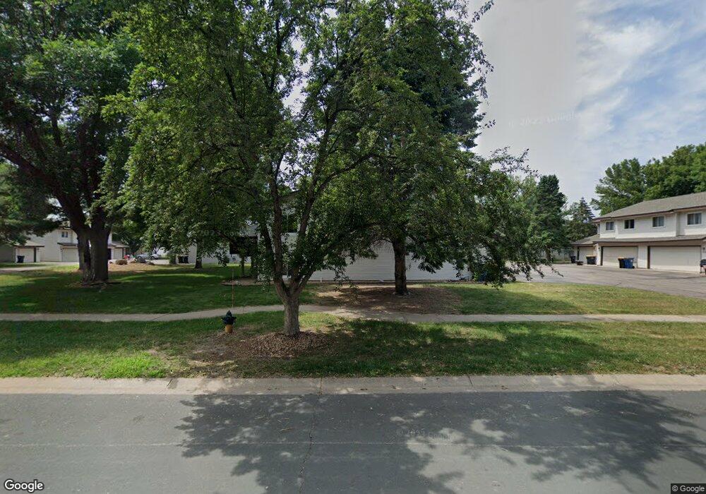
1272 Polk St S Shakopee, MN 55379
Estimated Value: $234,000 - $243,000
2
Beds
2
Baths
1,149
Sq Ft
$208/Sq Ft
Est. Value
About This Home
This home is located at 1272 Polk St S, Shakopee, MN 55379 and is currently estimated at $238,763, approximately $207 per square foot. 1272 Polk St S is a home located in Scott County with nearby schools including Sweeney Elementary School, East Middle School, and Shakopee Senior High School.
Ownership History
Date
Name
Owned For
Owner Type
Purchase Details
Closed on
Apr 7, 2020
Sold by
Panning Bauck Kendra M
Bought by
Jenkins Holmes and Jenkins James E
Current Estimated Value
Home Financials for this Owner
Home Financials are based on the most recent Mortgage that was taken out on this home.
Original Mortgage
$183,330
Outstanding Balance
$162,408
Interest Rate
3.4%
Mortgage Type
New Conventional
Estimated Equity
$76,355
Purchase Details
Closed on
Dec 14, 2007
Sold by
Edgell Dale W and Edgell Ruth G
Bought by
Panning Wayne and Panning Arly S
Create a Home Valuation Report for This Property
The Home Valuation Report is an in-depth analysis detailing your home's value as well as a comparison with similar homes in the area
Home Values in the Area
Average Home Value in this Area
Purchase History
| Date | Buyer | Sale Price | Title Company |
|---|---|---|---|
| Jenkins Holmes | $189,000 | Edgewater Title Group Llc | |
| Panning Wayne | $130,000 | -- |
Source: Public Records
Mortgage History
| Date | Status | Borrower | Loan Amount |
|---|---|---|---|
| Open | Jenkins Holmes | $183,330 |
Source: Public Records
Tax History Compared to Growth
Tax History
| Year | Tax Paid | Tax Assessment Tax Assessment Total Assessment is a certain percentage of the fair market value that is determined by local assessors to be the total taxable value of land and additions on the property. | Land | Improvement |
|---|---|---|---|---|
| 2025 | $1,948 | $217,600 | $76,100 | $141,500 |
| 2024 | $2,018 | $206,800 | $72,400 | $134,400 |
| 2023 | $2,066 | $203,000 | $71,000 | $132,000 |
| 2022 | $1,920 | $204,700 | $72,700 | $132,000 |
| 2021 | $1,680 | $168,100 | $57,000 | $111,100 |
| 2020 | $1,738 | $164,300 | $52,500 | $111,800 |
| 2019 | $1,722 | $152,400 | $44,400 | $108,000 |
| 2018 | $1,652 | $0 | $0 | $0 |
| 2016 | $1,520 | $0 | $0 | $0 |
| 2014 | -- | $0 | $0 | $0 |
Source: Public Records
Map
Nearby Homes
- 1226 Polk St S
- 2075 13th Ave W
- 1259 Taylor St Unit 3
- 1279 Taylor St Unit 5
- 2224 Quarry Ln
- 2123 Agate Curve
- 1853 Stone Meadow Blvd
- 1538 12th Ave W
- 1187 Jackson St S
- 2007 10th Ave W Unit 12
- 1813 6th Ave W
- 1690 Windigo Ln
- 816 Regent Dr
- 1861 Attenborough St
- The Ferguson Plan at Bluff View - Cottage Series
- The Edison Plan at Bluff View - Cottage Series
- The Tatum Plan at Bluff View - Cottage Series
- The Pattison Plan at Bluff View - Cottage Series
- The Harmony Plan at Bluff View - Freedom Series
- The Dover II Plan at Bluff View - Freedom Series
- 1270 Polk St S
- 1274 Polk St S
- 1268 Polk St S
- 1276 Polk St S
- 1278 Polk St S
- 1264 Polk St S
- 1266 Polk St S
- 1280 Polk St S
- 1260 Polk St S
- 1282 Polk St S
- 1284 Polk St S
- 1286 Polk St S
- 1230 Polk St S
- 1288 Polk St S
- 1219-1229 Taylor St
- 1290 Polk St S
- 1263 Polk St S
- 1273 Polk St S
- 1249 Polk St S
- 2005 13th Ave W