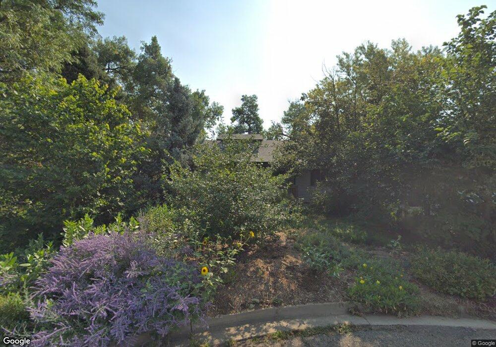
1276 Cavan St Boulder, CO 80303
Estimated Value: $749,113 - $857,000
3
Beds
3
Baths
1,436
Sq Ft
$564/Sq Ft
Est. Value
About This Home
This home is located at 1276 Cavan St, Boulder, CO 80303 and is currently estimated at $810,028, approximately $564 per square foot. 1276 Cavan St is a home located in Boulder County with nearby schools including Douglass Elementary School, Nevin Platt Middle School, and Centaurus High School.
Ownership History
Date
Name
Owned For
Owner Type
Purchase Details
Closed on
Nov 1, 1995
Sold by
Sinden Russell L and Sinden Spring R
Bought by
Ellis Harold R
Current Estimated Value
Home Financials for this Owner
Home Financials are based on the most recent Mortgage that was taken out on this home.
Original Mortgage
$141,600
Outstanding Balance
$1,977
Interest Rate
7.58%
Estimated Equity
$808,051
Purchase Details
Closed on
Dec 3, 1986
Bought by
Ellis Harold R and Ellis Beth L
Purchase Details
Closed on
May 1, 1978
Bought by
Ellis Harold R and Ellis Beth L
Purchase Details
Closed on
Jul 19, 1976
Bought by
Ellis Harold R and Ellis Beth L
Create a Home Valuation Report for This Property
The Home Valuation Report is an in-depth analysis detailing your home's value as well as a comparison with similar homes in the area
Home Values in the Area
Average Home Value in this Area
Purchase History
| Date | Buyer | Sale Price | Title Company |
|---|---|---|---|
| Ellis Harold R | $177,000 | -- | |
| Ellis Harold R | $105,000 | -- | |
| Ellis Harold R | $62,000 | -- | |
| Ellis Harold R | $8,500 | -- |
Source: Public Records
Mortgage History
| Date | Status | Borrower | Loan Amount |
|---|---|---|---|
| Open | Ellis Harold R | $141,600 |
Source: Public Records
Tax History
| Year | Tax Paid | Tax Assessment Tax Assessment Total Assessment is a certain percentage of the fair market value that is determined by local assessors to be the total taxable value of land and additions on the property. | Land | Improvement |
|---|---|---|---|---|
| 2025 | $4,293 | $50,856 | $26,531 | $24,325 |
| 2024 | $4,293 | $50,856 | $26,531 | $24,325 |
| 2023 | $4,215 | $48,910 | $21,614 | $30,981 |
| 2022 | $3,822 | $41,096 | $17,980 | $23,116 |
| 2021 | $3,625 | $42,278 | $18,497 | $23,781 |
| 2020 | $3,313 | $38,139 | $17,947 | $20,192 |
| 2019 | $3,257 | $38,139 | $17,947 | $20,192 |
| 2018 | $2,783 | $33,646 | $11,664 | $21,982 |
| 2017 | $2,689 | $37,197 | $12,895 | $24,302 |
| 2016 | $2,648 | $32,071 | $14,885 | $17,186 |
| 2015 | $2,499 | $24,000 | $11,622 | $12,378 |
| 2014 | $2,318 | $24,000 | $11,622 | $12,378 |
Source: Public Records
Map
Nearby Homes
- 3044 Red Deer Trail
- 3031 Thunder Lake Cir
- 578 Indian Peaks Trail W Unit W
- 9022 Jason Ct
- 2428 Concord Cir
- 1470 White Hawk Ranch Dr
- 805 Beauprez Ave
- 2547 Concord Cir
- 700 Beauprez Ave
- 2812 Shoshone Trail
- 2518 Concord Cir
- 379 Lodgewood Ln
- 2758 Meadow Mountain Trail
- 2554 Dutch Ct
- 2509 Ravenwood Ln
- 9776 Arapahoe Rd
- 315 Lodgewood Ln
- 2527 Columbine Cir
- 8778 Arapahoe Rd
- 9850 Arapahoe Rd
Your Personal Tour Guide
Ask me questions while you tour the home.