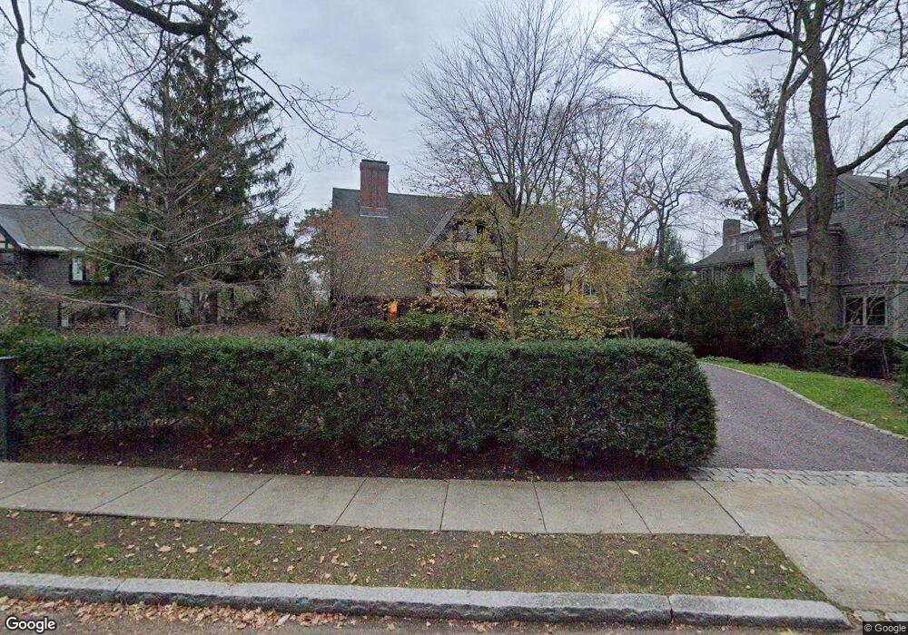
128 Brattle St Cambridge, MA 02138
West Cambridge NeighborhoodEstimated Value: $7,158,000 - $8,091,000
10
Beds
9
Baths
6,330
Sq Ft
$1,231/Sq Ft
Est. Value
About This Home
This home is located at 128 Brattle St, Cambridge, MA 02138 and is currently estimated at $7,790,917, approximately $1,230 per square foot. 128 Brattle St is a home located in Middlesex County with nearby schools including St Peter School, Shady Hill School, and Cambridge Montessori School.
Ownership History
Date
Name
Owned For
Owner Type
Purchase Details
Closed on
Mar 31, 2000
Sold by
Barker W B and Barker Janet B
Bought by
Moulton Eben S and Moulton Heather S
Current Estimated Value
Create a Home Valuation Report for This Property
The Home Valuation Report is an in-depth analysis detailing your home's value as well as a comparison with similar homes in the area
Home Values in the Area
Average Home Value in this Area
Purchase History
| Date | Buyer | Sale Price | Title Company |
|---|---|---|---|
| Moulton Eben S | $2,400,000 | -- |
Source: Public Records
Mortgage History
| Date | Status | Borrower | Loan Amount |
|---|---|---|---|
| Previous Owner | Moulton Eben S | $350,000 |
Source: Public Records
Tax History
| Year | Tax Paid | Tax Assessment Tax Assessment Total Assessment is a certain percentage of the fair market value that is determined by local assessors to be the total taxable value of land and additions on the property. | Land | Improvement |
|---|---|---|---|---|
| 2025 | $48,994 | $7,715,600 | $3,690,400 | $4,025,200 |
| 2024 | $43,964 | $7,426,400 | $3,660,900 | $3,765,500 |
| 2023 | $40,348 | $6,885,300 | $3,646,100 | $3,239,200 |
| 2022 | $36,457 | $6,158,300 | $3,286,500 | $2,871,800 |
| 2021 | $34,506 | $5,898,500 | $3,225,000 | $2,673,500 |
| 2020 | $32,314 | $5,619,800 | $3,086,400 | $2,533,400 |
| 2019 | $29,365 | $4,943,600 | $2,599,900 | $2,343,700 |
| 2018 | $30,342 | $4,823,800 | $2,586,400 | $2,237,400 |
| 2017 | $29,607 | $4,561,900 | $2,466,400 | $2,095,500 |
| 2016 | $28,492 | $4,076,100 | $2,133,100 | $1,943,000 |
| 2015 | $29,229 | $3,737,700 | $1,999,900 | $1,737,800 |
| 2014 | $30,683 | $3,661,400 | $1,946,500 | $1,714,900 |
Source: Public Records
Map
Nearby Homes
- 46 Foster St
- 3 Berkeley Place
- 35 Willard St
- 4 Craigie St Unit 2
- 153 Brattle St
- 22 Concord Ave Unit 10
- 22 Concord Ave Unit 11
- 14 Concord Ave Unit 624
- 157 Brattle St
- 1010 Memorial Dr Unit 6F
- 159 Brattle St
- 44 Garden St
- 992 Memorial Dr Unit 106
- 5 Brewer St Unit 5
- 58 Shepard St
- 172 Brattle St
- 985 Memorial Dr Unit 603
- 985 Memorial Dr Unit 303
- 984 Memorial Dr Unit 984-503
- 15 Madison St Unit 1
- 126 Brattle St
- 130 Brattle St Unit B
- 130 Brattle St Unit A
- 130 Brattle St Unit 130
- 130 Brattle St
- 2 Mercer Cir
- 5 Brown St
- 7 Brown St
- 11 Brown St
- 3 Mercer Cir
- 8 Mercer Cir
- 124 Brattle St
- 9 Brown St
- 6 Brown St
- 125 Brattle St
- 7 Mercer Cir
- 9 Mercer Cir
- 133 Brattle St
- 9 Foster Place
- 9 Foster Place Unit foster place cambrid
Your Personal Tour Guide
Ask me questions while you tour the home.