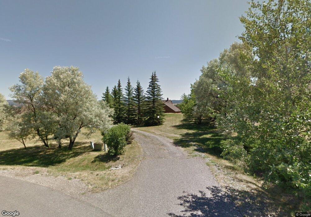
128 Erik Dr Bozeman, MT 59715
East Bozeman NeighborhoodEstimated Value: $1,233,000 - $1,526,000
3
Beds
2
Baths
1,544
Sq Ft
$882/Sq Ft
Est. Value
About This Home
This home is located at 128 Erik Dr, Bozeman, MT 59715 and is currently estimated at $1,361,220, approximately $881 per square foot. 128 Erik Dr is a home located in Gallatin County with nearby schools including Irving Elementary School, Sacajawea Middle School, and Bozeman High School.
Ownership History
Date
Name
Owned For
Owner Type
Purchase Details
Closed on
Sep 9, 2014
Sold by
Payne Mark and Brandenbergerpayne Nan
Bought by
Payne Mark G and Brandenbergerpayne Nan C
Current Estimated Value
Purchase Details
Closed on
Aug 16, 2010
Sold by
Karath John F and Karath Susan Brooke
Bought by
Payne Mark and Bradenbergerpayne Nan
Home Financials for this Owner
Home Financials are based on the most recent Mortgage that was taken out on this home.
Original Mortgage
$272,500
Outstanding Balance
$179,966
Interest Rate
4.52%
Mortgage Type
New Conventional
Estimated Equity
$1,181,254
Create a Home Valuation Report for This Property
The Home Valuation Report is an in-depth analysis detailing your home's value as well as a comparison with similar homes in the area
Home Values in the Area
Average Home Value in this Area
Purchase History
| Date | Buyer | Sale Price | Title Company |
|---|---|---|---|
| Payne Mark G | -- | None Available | |
| Payne Mark | -- | American Land Title Company |
Source: Public Records
Mortgage History
| Date | Status | Borrower | Loan Amount |
|---|---|---|---|
| Open | Payne Mark | $272,500 |
Source: Public Records
Tax History
| Year | Tax Paid | Tax Assessment Tax Assessment Total Assessment is a certain percentage of the fair market value that is determined by local assessors to be the total taxable value of land and additions on the property. | Land | Improvement |
|---|---|---|---|---|
| 2025 | $4,957 | $1,246,400 | $0 | $0 |
| 2024 | $5,436 | $1,034,200 | $0 | $0 |
| 2023 | $6,029 | $1,034,200 | $0 | $0 |
| 2022 | $4,193 | $640,900 | $0 | $0 |
| 2021 | $4,673 | $640,900 | $0 | $0 |
| 2020 | $5,542 | $645,639 | $0 | $0 |
| 2019 | $5,421 | $645,639 | $0 | $0 |
| 2018 | $4,681 | $504,700 | $0 | $0 |
| 2017 | $4,345 | $504,700 | $0 | $0 |
| 2016 | $3,604 | $380,200 | $0 | $0 |
| 2015 | $3,605 | $380,200 | $0 | $0 |
| 2014 | $4,112 | $262,933 | $0 | $0 |
Source: Public Records
Map
Nearby Homes
- 131 Erik Dr
- 101 Painted Ridge Rd
- 101 Painted Ridge
- TBD Lot 17 Boreal Way
- 3751 Sourdough Rd
- TBD - Lot 18 Boreal Way
- 125 Blossom Way
- NHN Trooper Trail
- 145 Blossom Way
- 8454 Goldenstein Ln
- 8373 Goldenstein Ln
- 815 Alpine Way
- 1109 E Kagy Blvd
- 1103 S Pinecrest Dr
- 3726 Bungalow Ln
- 17 W Fieldview Cir
- 4235 Graf St
- 2516 Spring Creek Dr
- Lot 1 Dulohery Ln
- Lot 4 Dulohery Ln
Your Personal Tour Guide
Ask me questions while you tour the home.