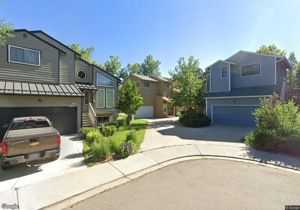
128 Huron Ct Boulder, CO 80303
Southeast Boulder NeighborhoodEstimated Value: $816,089 - $891,000
2
Beds
3
Baths
1,262
Sq Ft
$679/Sq Ft
Est. Value
About This Home
This home is located at 128 Huron Ct, Boulder, CO 80303 and is currently estimated at $856,772, approximately $678 per square foot. 128 Huron Ct is a home located in Boulder County with nearby schools including Eisenhower Elementary School, Manhattan Middle School of the Arts & Academics, and Fairview High School.
Ownership History
Date
Name
Owned For
Owner Type
Purchase Details
Closed on
Dec 8, 2022
Sold by
Kautz Roger L
Bought by
Roger And Deverly Kantz Revocable Trust
Current Estimated Value
Purchase Details
Closed on
Jun 17, 1988
Bought by
Kautz Roger L and Kautz Deverly J
Purchase Details
Closed on
Jun 19, 1984
Bought by
Kautz Roger L and Kautz Deverly J
Purchase Details
Closed on
May 17, 1984
Bought by
Kautz Roger L and Kautz Deverly J
Purchase Details
Closed on
May 3, 1984
Bought by
Kautz Roger L and Kautz Deverly J
Create a Home Valuation Report for This Property
The Home Valuation Report is an in-depth analysis detailing your home's value as well as a comparison with similar homes in the area
Home Values in the Area
Average Home Value in this Area
Purchase History
| Date | Buyer | Sale Price | Title Company |
|---|---|---|---|
| Roger And Deverly Kantz Revocable Trust | $500 | -- | |
| Kautz Roger L | $117,500 | -- | |
| Kautz Roger L | -- | -- | |
| Kautz Roger L | -- | -- | |
| Kautz Roger L | -- | -- |
Source: Public Records
Tax History
| Year | Tax Paid | Tax Assessment Tax Assessment Total Assessment is a certain percentage of the fair market value that is determined by local assessors to be the total taxable value of land and additions on the property. | Land | Improvement |
|---|---|---|---|---|
| 2025 | $4,358 | $58,244 | $33,956 | $24,288 |
| 2024 | $4,358 | $58,244 | $33,956 | $24,288 |
| 2023 | $4,283 | $56,293 | $41,875 | $18,103 |
| 2022 | $4,170 | $51,854 | $30,184 | $21,670 |
| 2021 | $3,976 | $53,346 | $31,052 | $22,294 |
| 2020 | $3,609 | $48,613 | $25,383 | $23,230 |
| 2019 | $3,554 | $48,613 | $25,383 | $23,230 |
| 2018 | $3,302 | $45,288 | $23,544 | $21,744 |
| 2017 | $3,199 | $50,068 | $26,029 | $24,039 |
| 2016 | $3,159 | $44,456 | $18,467 | $25,989 |
| 2015 | $2,992 | $33,185 | $15,124 | $18,061 |
| 2014 | $2,121 | $33,185 | $15,124 | $18,061 |
Source: Public Records
Map
Nearby Homes
- 40 S Boulder Cir Unit 4034
- 30 S Boulder Cir Unit 3018
- 20 S Boulder Cir Unit 20-2204
- 33 S Boulder Cir Unit 316
- 33 S Boulder Cir Unit 306
- 167 Cherokee Way
- 4800 Osage Dr Unit B-16
- 4835 Moorhead Ave
- 501 Manhattan Dr Unit 101
- 600 Manhattan Dr Unit A7
- 4521 Navajo Place
- 4763 Tantra Dr Unit B
- 5648 Baseline Rd
- 625 Manhattan Place Unit 308
- 750 W Moorhead Cir Unit A
- 655 Cree Cir
- 665 Manhattan Dr Unit 9
- 860 W Moorhead Cir Unit 2K
- 860 W Moorhead Cir Unit 1I
- 860 W Moorhead Cir Unit 2H
Your Personal Tour Guide
Ask me questions while you tour the home.