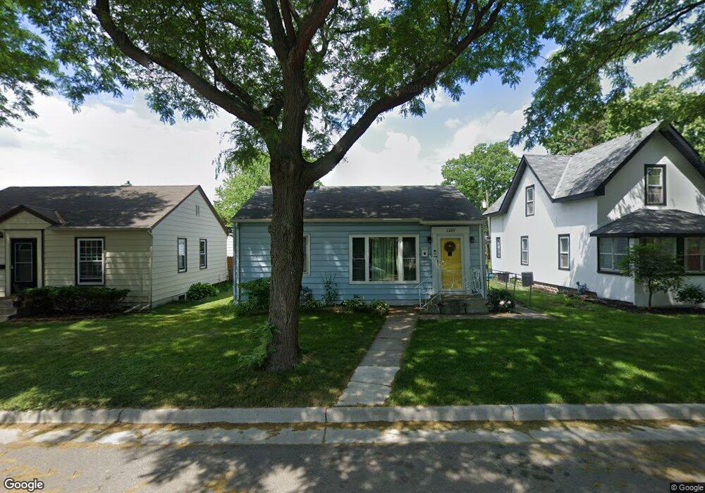
1289 Schletti St Saint Paul, MN 55117
North End NeighborhoodEstimated Value: $244,767 - $252,000
2
Beds
1
Bath
780
Sq Ft
$319/Sq Ft
Est. Value
About This Home
This home is located at 1289 Schletti St, Saint Paul, MN 55117 and is currently estimated at $248,692, approximately $318 per square foot. 1289 Schletti St is a home located in Ramsey County with nearby schools including Como Park Elementary School, Murray Middle School, and Como Park Senior High School.
Ownership History
Date
Name
Owned For
Owner Type
Purchase Details
Closed on
Jul 6, 2018
Sold by
Blau Nicholas E and Wydeven Nicole M
Bought by
Baker Dana Stacey
Current Estimated Value
Home Financials for this Owner
Home Financials are based on the most recent Mortgage that was taken out on this home.
Original Mortgage
$171,830
Outstanding Balance
$148,916
Interest Rate
4.5%
Mortgage Type
FHA
Estimated Equity
$99,776
Purchase Details
Closed on
Aug 31, 1999
Sold by
Dumond Lance P and Dumond Amy L
Bought by
Olson Amy M
Create a Home Valuation Report for This Property
The Home Valuation Report is an in-depth analysis detailing your home's value as well as a comparison with similar homes in the area
Home Values in the Area
Average Home Value in this Area
Purchase History
| Date | Buyer | Sale Price | Title Company |
|---|---|---|---|
| Baker Dana Stacey | $175,000 | Global Closing & Title Servi | |
| Olson Amy M | $114,900 | -- |
Source: Public Records
Mortgage History
| Date | Status | Borrower | Loan Amount |
|---|---|---|---|
| Open | Baker Dana Stacey | $171,830 |
Source: Public Records
Tax History Compared to Growth
Tax History
| Year | Tax Paid | Tax Assessment Tax Assessment Total Assessment is a certain percentage of the fair market value that is determined by local assessors to be the total taxable value of land and additions on the property. | Land | Improvement |
|---|---|---|---|---|
| 2025 | $3,534 | $243,900 | $50,000 | $193,900 |
| 2023 | $3,534 | $230,600 | $50,000 | $180,600 |
| 2022 | $2,882 | $231,600 | $50,000 | $181,600 |
| 2021 | $2,600 | $192,400 | $50,000 | $142,400 |
| 2020 | $2,710 | $172,600 | $29,500 | $143,100 |
| 2019 | $2,190 | $171,600 | $29,500 | $142,100 |
| 2018 | $2,058 | $138,400 | $29,500 | $108,900 |
| 2017 | $1,492 | $143,300 | $29,500 | $113,800 |
| 2016 | $1,686 | $0 | $0 | $0 |
| 2015 | $1,724 | $123,100 | $29,500 | $93,600 |
| 2014 | $1,734 | $0 | $0 | $0 |
Source: Public Records
Map
Nearby Homes
- tbd MacKubin St
- 1342 Dale St N
- 1241 Maywood St
- 1176 Norton St
- 1165 Norton St
- 1175 Arundel St
- 397 Cottage Ave W Unit 3
- 1457 Arundel St
- 408 Arlington Ave W
- 1464 Maywood St
- 1104 MacKubin St
- 1539 Dale St N
- 1049 Kent St
- 766 Maryland Ave W
- 1063 Dale St N
- 1083 Western Ave N
- 373 Nebraska Ave W
- 1110 Virginia St
- 1215 Galtier St
- 1403 Galtier St
- 1295 Schletti St
- 1295 1295 Schletti-Street-
- 1285 Schletti St
- 1289 1289 Schletti-Street-
- 1281 Schletti St
- 1301 Schletti St
- 1277 Schletti St
- 1277 1277 Schletti-Street-
- 1307 1307 Schletti-Street-
- 1307 Schletti St
- 1294 1294 Kent-Street-
- 1286 Kent St
- 1286 1286 Kent-Street-
- 1290 Kent St
- 1278 Kent St
- 1302 Kent St
- 1288 Schletti St
- 1294 Schletti St
- 1282 Schletti St
- 1276 Schletti St