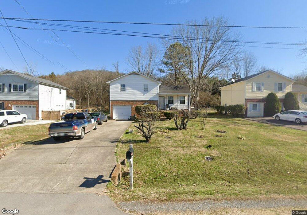
129 Arsenal Dr Franklin, TN 37064
Central Franklin NeighborhoodEstimated Value: $357,000 - $428,000
--
Bed
2
Baths
930
Sq Ft
$425/Sq Ft
Est. Value
About This Home
This home is located at 129 Arsenal Dr, Franklin, TN 37064 and is currently estimated at $394,940, approximately $424 per square foot. 129 Arsenal Dr is a home located in Williamson County with nearby schools including Liberty Elementary School, Freedom Intermediate School, and Freedom Middle School.
Ownership History
Date
Name
Owned For
Owner Type
Purchase Details
Closed on
Nov 21, 2005
Sold by
Broughton Daisy
Bought by
Murry Albert D and Broughton Daisy
Current Estimated Value
Home Financials for this Owner
Home Financials are based on the most recent Mortgage that was taken out on this home.
Original Mortgage
$119,000
Outstanding Balance
$73,190
Interest Rate
8.12%
Mortgage Type
New Conventional
Estimated Equity
$321,750
Purchase Details
Closed on
Jun 10, 2004
Sold by
Hamilton Lillian and Baugh Sam
Bought by
Broughton Daisy
Create a Home Valuation Report for This Property
The Home Valuation Report is an in-depth analysis detailing your home's value as well as a comparison with similar homes in the area
Home Values in the Area
Average Home Value in this Area
Purchase History
| Date | Buyer | Sale Price | Title Company |
|---|---|---|---|
| Murry Albert D | -- | Us Recordings Inc | |
| Broughton Daisy | -- | -- |
Source: Public Records
Mortgage History
| Date | Status | Borrower | Loan Amount |
|---|---|---|---|
| Open | Murry Albert D | $119,000 |
Source: Public Records
Tax History Compared to Growth
Tax History
| Year | Tax Paid | Tax Assessment Tax Assessment Total Assessment is a certain percentage of the fair market value that is determined by local assessors to be the total taxable value of land and additions on the property. | Land | Improvement |
|---|---|---|---|---|
| 2025 | $2,046 | $103,725 | $48,750 | $54,975 |
| 2024 | $2,046 | $72,250 | $23,750 | $48,500 |
| 2023 | $1,966 | $72,250 | $23,750 | $48,500 |
| 2022 | $1,966 | $72,250 | $23,750 | $48,500 |
| 2021 | $1,966 | $72,250 | $23,750 | $48,500 |
| 2020 | $1,304 | $40,400 | $12,500 | $27,900 |
| 2019 | $1,304 | $40,400 | $12,500 | $27,900 |
| 2018 | $1,276 | $40,400 | $12,500 | $27,900 |
| 2017 | $1,255 | $40,400 | $12,500 | $27,900 |
| 2016 | $1,251 | $40,400 | $12,500 | $27,900 |
| 2015 | -- | $31,400 | $10,000 | $21,400 |
| 2014 | -- | $31,400 | $10,000 | $21,400 |
Source: Public Records
Map
Nearby Homes
- 135 Grenadier Dr
- 217 Maple Dr
- 224 Hickory Dr
- 423 Knob Ct
- 1013 Firestone Dr
- 523 Grant Park Ct
- 224 Logans Cir
- 125 Grant Park Dr
- 324 Grant Park Dr
- 229 Cambridge Place
- 1404 Buckingham Cir
- 112 Ridgemont Place
- 322 Logans Cir
- 320 Liberty Pike Unit 212
- 320 Liberty Pike Unit 214
- 433 Dragonfly Ct
- 100 Churchill Place
- 125 Stanwick Dr
- 1 Pinewood Rd
- 121 Pebble View Dr