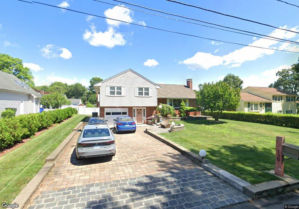
129 Rutledge Rd Wethersfield, CT 06109
Estimated Value: $396,566 - $426,000
3
Beds
2
Baths
1,334
Sq Ft
$308/Sq Ft
Est. Value
About This Home
This home is located at 129 Rutledge Rd, Wethersfield, CT 06109 and is currently estimated at $411,142, approximately $308 per square foot. 129 Rutledge Rd is a home located in Hartford County with nearby schools including Emerson-Williams School, Silas Deane Middle School, and Wethersfield High School.
Ownership History
Date
Name
Owned For
Owner Type
Purchase Details
Closed on
Nov 21, 2020
Sold by
Neti Panajot and Neti Vjollca
Bought by
Neti Ft
Current Estimated Value
Purchase Details
Closed on
Feb 22, 2002
Sold by
St Germain Brian J and St Germain Carey Ann
Bought by
Neti Panajot and Neti Vjollca
Create a Home Valuation Report for This Property
The Home Valuation Report is an in-depth analysis detailing your home's value as well as a comparison with similar homes in the area
Home Values in the Area
Average Home Value in this Area
Purchase History
| Date | Buyer | Sale Price | Title Company |
|---|---|---|---|
| Neti Ft | -- | None Available | |
| Neti Panajot | $180,000 | -- |
Source: Public Records
Mortgage History
| Date | Status | Borrower | Loan Amount |
|---|---|---|---|
| Previous Owner | Neti Panajot | $80,500 | |
| Previous Owner | Neti Panajot | $113,300 | |
| Previous Owner | Neti Panajot | $25,000 |
Source: Public Records
Tax History
| Year | Tax Paid | Tax Assessment Tax Assessment Total Assessment is a certain percentage of the fair market value that is determined by local assessors to be the total taxable value of land and additions on the property. | Land | Improvement |
|---|---|---|---|---|
| 2025 | $10,121 | $245,540 | $69,260 | $176,280 |
| 2024 | $6,876 | $159,100 | $69,220 | $89,880 |
| 2023 | $6,634 | $158,790 | $69,210 | $89,580 |
| 2022 | $6,523 | $158,790 | $69,210 | $89,580 |
| 2021 | $6,458 | $158,790 | $69,210 | $89,580 |
| 2020 | $6,461 | $158,790 | $69,210 | $89,580 |
| 2019 | $6,469 | $158,790 | $69,210 | $89,580 |
| 2018 | $6,468 | $158,600 | $68,400 | $90,200 |
| 2017 | $6,308 | $158,600 | $68,400 | $90,200 |
| 2016 | $6,112 | $158,600 | $68,400 | $90,200 |
| 2015 | $6,057 | $158,600 | $68,400 | $90,200 |
| 2014 | $5,827 | $158,600 | $68,400 | $90,200 |
Source: Public Records
Map
Nearby Homes
- 295 Ridge Rd Unit 8
- 20 Forest Dr
- 273 Forest Dr
- 173 Timber Trail
- 764 Ridge Rd
- 1 Bristol St
- 19 Albert Ave
- 129 Goff Rd
- 35 Kingston St
- 192 Wolcott Hill Rd
- 158 Dix Rd
- 62 Schoolhouse Crossing
- 137 Dale Rd
- 39 Schoolhouse Crossing
- 25 Tinsmith Crossing
- 219-221 Jordan Ln
- 455 Brimfield Rd
- 23 Hillcrest Ave
- 87 Somerset St
- 91 Somerset St
- 125 Rutledge Rd
- 135 Rutledge Rd
- 130 Amherst St
- 124 Amherst St
- 136 Amherst St
- 132 Rutledge Rd
- 124 Rutledge Rd
- 143 Rutledge Rd
- 140 Rutledge Rd
- 144 Amherst St
- 112 Amherst St
- 109 Rutledge Rd
- 116 Brown St
- 125 Amherst St
- 149 Rutledge Rd
- 148 Rutledge Rd
- 105 Brown St
- 137 Amherst St
- 108 Amherst St
- 152 Amherst St
Your Personal Tour Guide
Ask me questions while you tour the home.