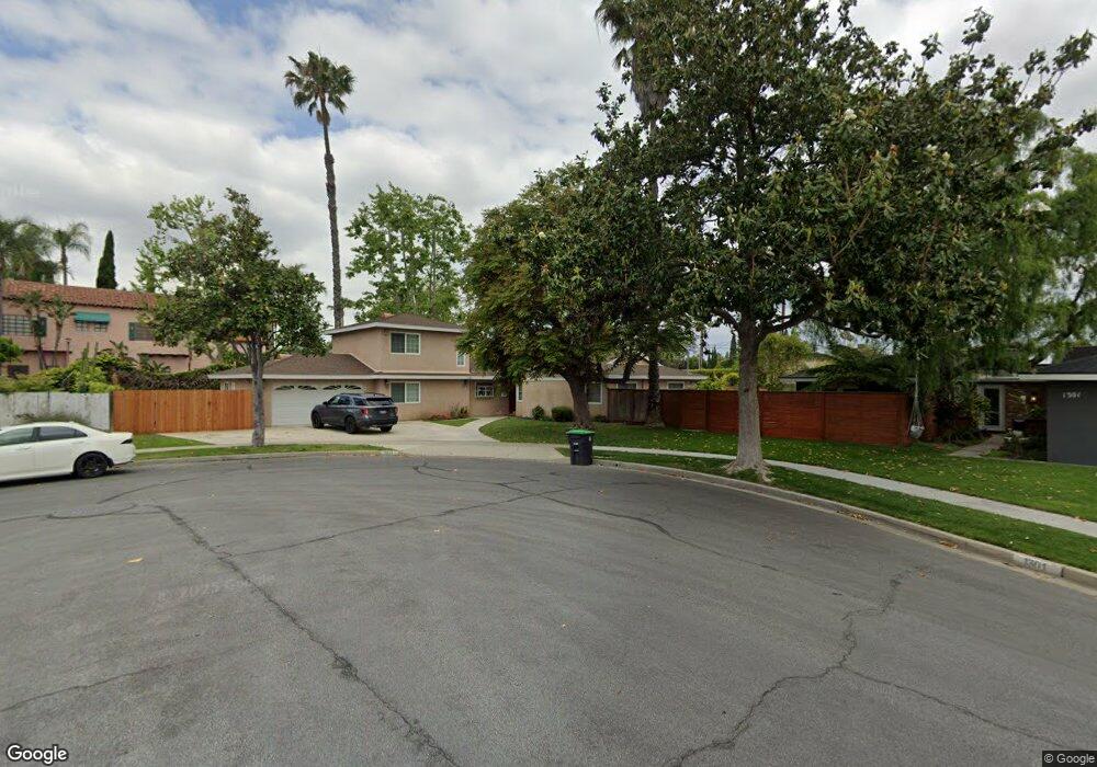
1291 Arloura Way Tustin, CA 92780
Estimated Value: $1,356,000 - $1,996,000
3
Beds
3
Baths
2,797
Sq Ft
$562/Sq Ft
Est. Value
About This Home
This home is located at 1291 Arloura Way, Tustin, CA 92780 and is currently estimated at $1,572,447, approximately $562 per square foot. 1291 Arloura Way is a home located in Orange County with nearby schools including Barbara Benson Elementary School, C. E. Utt Middle School, and Tustin High School.
Ownership History
Date
Name
Owned For
Owner Type
Purchase Details
Closed on
Jun 21, 1994
Sold by
Powell Michael A and Powell Juanita S
Bought by
Goodwin Jeffrey P and Goodwin Carol L
Current Estimated Value
Home Financials for this Owner
Home Financials are based on the most recent Mortgage that was taken out on this home.
Original Mortgage
$184,500
Interest Rate
6.75%
Create a Home Valuation Report for This Property
The Home Valuation Report is an in-depth analysis detailing your home's value as well as a comparison with similar homes in the area
Home Values in the Area
Average Home Value in this Area
Purchase History
| Date | Buyer | Sale Price | Title Company |
|---|---|---|---|
| Goodwin Jeffrey P | $205,000 | Commonwealth Land Title Co |
Source: Public Records
Mortgage History
| Date | Status | Borrower | Loan Amount |
|---|---|---|---|
| Closed | Goodwin Jeffrey P | $184,500 |
Source: Public Records
Tax History Compared to Growth
Tax History
| Year | Tax Paid | Tax Assessment Tax Assessment Total Assessment is a certain percentage of the fair market value that is determined by local assessors to be the total taxable value of land and additions on the property. | Land | Improvement |
|---|---|---|---|---|
| 2025 | $5,605 | $493,666 | $242,103 | $251,563 |
| 2024 | $5,605 | $483,987 | $237,356 | $246,631 |
| 2023 | $5,465 | $474,498 | $232,702 | $241,796 |
| 2022 | $5,378 | $465,195 | $228,140 | $237,055 |
| 2021 | $5,270 | $456,074 | $223,667 | $232,407 |
| 2020 | $5,242 | $451,398 | $221,374 | $230,024 |
| 2019 | $5,115 | $442,548 | $217,034 | $225,514 |
| 2018 | $5,032 | $433,871 | $212,778 | $221,093 |
| 2017 | $4,944 | $425,364 | $208,606 | $216,758 |
| 2016 | $4,855 | $417,024 | $204,516 | $212,508 |
| 2015 | $4,921 | $410,760 | $201,444 | $209,316 |
| 2014 | $4,795 | $402,714 | $197,498 | $205,216 |
Source: Public Records
Map
Nearby Homes
- 1161 Packers Cir Unit 102
- 1111 Packers Cir Unit 25
- 1431 Mauna Loa Rd
- 1209 E 1st St
- 1125 E 1st St
- 1121 E 1st St
- 1642 Tiffany Place
- 13121 Dean St
- 13511 Epping Way
- 1621 Bryan Ave
- 1311 La Colina Dr
- 13631 Fielding Dr
- 14732 Candeda Place
- 12441 La Bella Dr
- 12361 Charloma Dr
- 12331 Charloma Dr
- 1370 San Juan St
- 453 E 1st St
- 1042 San Juan St
- 1071 & 1073 Walnut St
- 1301 Arloura Way
- 1292 Arloura Way
- 1311 Arloura Way
- 1302 Arloura Way
- 12972 Charloma Dr
- 1312 Arloura Way
- 1331 Arloura Way
- 1332 Arloura Way
- 1281 Garland Ave
- 12971 Woodlawn Ave
- 1271 Garland Ave
- 1291 Garland Ave
- 12971 Charloma Dr
- 12962 Charloma Dr
- 1301 Garland Ave
- 1302 Tiffany Place
- 1311 Garland Ave
- 1261 Garland Ave
- 12961 Charloma Dr
- 1331 Garland Ave