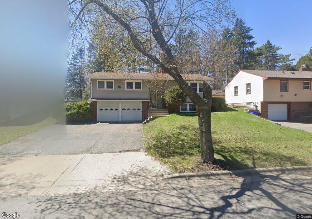
1295 Danforth St Saint Paul, MN 55117
North End NeighborhoodEstimated Value: $315,089 - $351,000
3
Beds
3
Baths
2,196
Sq Ft
$152/Sq Ft
Est. Value
About This Home
This home is located at 1295 Danforth St, Saint Paul, MN 55117 and is currently estimated at $333,522, approximately $151 per square foot. 1295 Danforth St is a home located in Ramsey County with nearby schools including Como Park Elementary School, Murray Middle School, and Como Park Senior High School.
Ownership History
Date
Name
Owned For
Owner Type
Purchase Details
Closed on
Aug 27, 2020
Sold by
Roberts Marcia and Wallrich Jane
Bought by
James Mark Allen
Current Estimated Value
Home Financials for this Owner
Home Financials are based on the most recent Mortgage that was taken out on this home.
Original Mortgage
$276,107
Outstanding Balance
$244,572
Interest Rate
2.8%
Mortgage Type
New Conventional
Estimated Equity
$88,950
Purchase Details
Closed on
Aug 6, 1999
Sold by
Estate Of Francis L Lynch
Bought by
Krump Ambrose and Krump Arla J
Create a Home Valuation Report for This Property
The Home Valuation Report is an in-depth analysis detailing your home's value as well as a comparison with similar homes in the area
Home Values in the Area
Average Home Value in this Area
Purchase History
| Date | Buyer | Sale Price | Title Company |
|---|---|---|---|
| James Mark Allen | $269,900 | Titlelcl | |
| Krump Ambrose | $150,500 | -- |
Source: Public Records
Mortgage History
| Date | Status | Borrower | Loan Amount |
|---|---|---|---|
| Open | James Mark Allen | $276,107 |
Source: Public Records
Tax History Compared to Growth
Tax History
| Year | Tax Paid | Tax Assessment Tax Assessment Total Assessment is a certain percentage of the fair market value that is determined by local assessors to be the total taxable value of land and additions on the property. | Land | Improvement |
|---|---|---|---|---|
| 2025 | $5,034 | $281,500 | $50,000 | $231,500 |
| 2023 | $5,034 | $270,000 | $50,000 | $220,000 |
| 2022 | $4,168 | $258,700 | $50,000 | $208,700 |
| 2021 | $5,632 | $246,400 | $50,000 | $196,400 |
| 2020 | $5,550 | $364,200 | $37,900 | $326,300 |
| 2019 | $5,414 | $335,700 | $37,900 | $297,800 |
| 2018 | $4,774 | $320,000 | $37,900 | $282,100 |
| 2017 | $4,180 | $296,900 | $37,900 | $259,000 |
| 2016 | $4,116 | $0 | $0 | $0 |
| 2015 | $3,724 | $259,600 | $37,900 | $221,700 |
| 2014 | $4,038 | $0 | $0 | $0 |
Source: Public Records
Map
Nearby Homes
- 1300 Schletti St
- 585 Cottage Ave W
- 496 Maryland Ave W
- 1104 MacKubin St
- 1049 Kent St
- 1048 Dale St N
- 1248 Farrington St
- 475 Lawson Ave W
- 1047 N Jameson St
- 1151 Farrington St
- 1585 Cohansey St Unit 104
- 1019 Cumberland St
- 352 Como Ave
- 1215 Galtier St
- 1635 Dale St N
- 1137 Galtier St
- 1071 Matilda St
- 698 Larpenteur Ave W
- 989 Barrett St
- 1131 Marion St
- 1289 Danforth St
- 1303 Danforth St
- 1302 Dale St N
- 1283 Danforth St
- 602 Wheelock Pkwy W
- 1286 Dale St N
- 1294 Danforth St
- 1300 Danforth St
- 594 594 Wheelock-Parkway-w
- 594 Wheelock Pkwy W
- 1306 Dale St N
- 1284 Danforth St
- 1280 Dale St N
- 1306 Danforth St
- 1276 Danforth St
- 616 Wheelock Pkwy W
- 1274 Dale St N
- 595 Orange Ave W
- 601 Orange Ave W
- 586 Wheelock Pkwy W