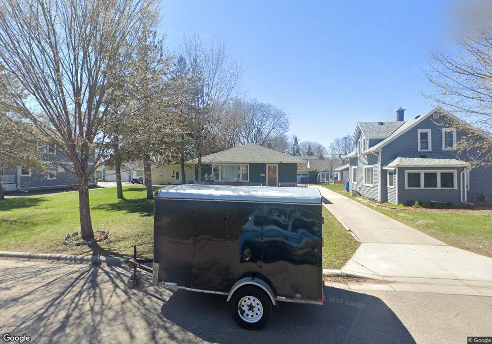
1295 MacKubin St Saint Paul, MN 55117
North End NeighborhoodEstimated Value: $312,000 - $343,000
3
Beds
2
Baths
1,176
Sq Ft
$277/Sq Ft
Est. Value
About This Home
This home is located at 1295 MacKubin St, Saint Paul, MN 55117 and is currently estimated at $325,550, approximately $276 per square foot. 1295 MacKubin St is a home located in Ramsey County with nearby schools including Como Park Elementary School, Murray Middle School, and Como Park Senior High School.
Ownership History
Date
Name
Owned For
Owner Type
Purchase Details
Closed on
May 5, 2017
Sold by
Nordstrom Einar W
Bought by
Estrada Munoz Maria E
Current Estimated Value
Home Financials for this Owner
Home Financials are based on the most recent Mortgage that was taken out on this home.
Original Mortgage
$196,377
Outstanding Balance
$163,312
Interest Rate
4.1%
Mortgage Type
FHA
Estimated Equity
$162,238
Create a Home Valuation Report for This Property
The Home Valuation Report is an in-depth analysis detailing your home's value as well as a comparison with similar homes in the area
Home Values in the Area
Average Home Value in this Area
Purchase History
| Date | Buyer | Sale Price | Title Company |
|---|---|---|---|
| Estrada Munoz Maria E | $206,060 | Burnet Title |
Source: Public Records
Mortgage History
| Date | Status | Borrower | Loan Amount |
|---|---|---|---|
| Open | Estrada Munoz Maria E | $196,377 |
Source: Public Records
Tax History Compared to Growth
Tax History
| Year | Tax Paid | Tax Assessment Tax Assessment Total Assessment is a certain percentage of the fair market value that is determined by local assessors to be the total taxable value of land and additions on the property. | Land | Improvement |
|---|---|---|---|---|
| 2025 | $4,082 | $285,800 | $50,000 | $235,800 |
| 2023 | $4,082 | $264,200 | $50,000 | $214,200 |
| 2022 | $3,608 | $276,400 | $50,000 | $226,400 |
| 2021 | $3,394 | $219,200 | $50,000 | $169,200 |
| 2020 | $3,740 | $220,200 | $33,000 | $187,200 |
| 2019 | $3,466 | $226,000 | $33,000 | $193,000 |
| 2018 | $2,956 | $192,500 | $33,000 | $159,500 |
| 2017 | $2,316 | $168,700 | $33,000 | $135,700 |
| 2016 | $2,798 | $0 | $0 | $0 |
| 2015 | $2,800 | $180,600 | $33,000 | $147,600 |
| 2014 | $2,442 | $0 | $0 | $0 |
Source: Public Records
Map
Nearby Homes
- tbd MacKubin St
- 1342 Dale St N
- 1176 Norton St
- 1165 Norton St
- 1175 Arundel St
- 1241 Maywood St
- 397 Cottage Ave W Unit 3
- 1457 Arundel St
- 408 Arlington Ave W
- 1104 MacKubin St
- 1464 Maywood St
- 1083 Western Ave N
- 1049 Kent St
- 373 Nebraska Ave W
- 1539 Dale St N
- 1110 Virginia St
- 1063 Dale St N
- 1215 Galtier St
- 766 Maryland Ave W
- 1403 Galtier St
- 1299 MacKubin St
- 1291 MacKubin St
- 114 MacKubin St Unit 2
- 114 MacKubin St Unit 3
- 114 MacKubin St Unit 4
- 1291 1291 MacKubin-street-
- 1291 1291 MacKubin St
- 1287 MacKubin St
- 1300 Schletti St
- 510 Wheelock Pkwy W
- 500 Wheelock Pkwy W
- 1294 Schletti St
- 1279 MacKubin St
- 518 Wheelock Pkwy W
- 1288 Schletti St
- 1296 MacKubin St
- 1296 1296 MacKubin-street-
- 1300 MacKubin St
- 522 Wheelock Pkwy W
- 1290 MacKubin St