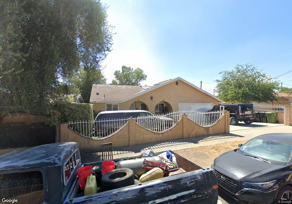
12953 Dronfield Ave Sylmar, CA 91342
Estimated Value: $868,000 - $1,011,000
4
Beds
3
Baths
2,189
Sq Ft
$419/Sq Ft
Est. Value
About This Home
This home is located at 12953 Dronfield Ave, Sylmar, CA 91342 and is currently estimated at $917,906, approximately $419 per square foot. 12953 Dronfield Ave is a home located in Los Angeles County with nearby schools including Gridley Street Elementary School, Olive Vista Middle School, and San Fernando Senior High School.
Ownership History
Date
Name
Owned For
Owner Type
Purchase Details
Closed on
Jan 31, 2004
Sold by
Seeman Barry
Bought by
Roberts Eric and Roberts Niecola
Current Estimated Value
Home Financials for this Owner
Home Financials are based on the most recent Mortgage that was taken out on this home.
Original Mortgage
$328,800
Outstanding Balance
$159,750
Interest Rate
6.35%
Mortgage Type
Purchase Money Mortgage
Estimated Equity
$758,156
Purchase Details
Closed on
Jul 13, 2000
Sold by
Seeman Barry
Bought by
Seeman Barry and Seeman Ruth
Create a Home Valuation Report for This Property
The Home Valuation Report is an in-depth analysis detailing your home's value as well as a comparison with similar homes in the area
Home Values in the Area
Average Home Value in this Area
Purchase History
| Date | Buyer | Sale Price | Title Company |
|---|---|---|---|
| Roberts Eric | $411,000 | United Title Company | |
| Seeman Barry | -- | -- | |
| Seeman Barry | -- | -- |
Source: Public Records
Mortgage History
| Date | Status | Borrower | Loan Amount |
|---|---|---|---|
| Open | Roberts Eric | $328,800 | |
| Closed | Roberts Eric | $82,200 |
Source: Public Records
Tax History Compared to Growth
Tax History
| Year | Tax Paid | Tax Assessment Tax Assessment Total Assessment is a certain percentage of the fair market value that is determined by local assessors to be the total taxable value of land and additions on the property. | Land | Improvement |
|---|---|---|---|---|
| 2025 | $7,186 | $584,336 | $336,102 | $248,234 |
| 2024 | $7,186 | $572,879 | $329,512 | $243,367 |
| 2023 | $7,049 | $561,647 | $323,051 | $238,596 |
| 2022 | $6,726 | $550,635 | $316,717 | $233,918 |
| 2021 | $6,636 | $539,839 | $310,507 | $229,332 |
| 2019 | $6,439 | $523,830 | $301,299 | $222,531 |
| 2018 | $6,338 | $513,560 | $295,392 | $218,168 |
| 2016 | $6,035 | $493,000 | $284,000 | $209,000 |
| 2015 | $5,690 | $464,000 | $267,000 | $197,000 |
| 2014 | $5,409 | $430,000 | $247,000 | $183,000 |
Source: Public Records
Map
Nearby Homes
- 13825 Beaver St Unit 43
- 13825 Beaver St Unit 35
- 13002 Dronfield Ave
- 12987 Sproule Ave
- 13750 Hubbard St Unit 77
- 13040 Dronfield Ave Unit 25
- 13040 Dronfield Ave Unit 3
- 13040 Dronfield Ave Unit 12
- 13050 Dronfield Ave Unit 21
- 13050 Dronfield Ave Unit 7
- 13080 Dronfield Ave Unit 58
- 13080 Dronfield Ave Unit 13
- 13144 Bromont Ave Unit 42
- 12826 Bromont Ave
- 14124 Sayre St
- 13522 Island Palms Ln
- 14052 Aztec St
- 14023 Hubbard St
- 13540 Hubbard St Unit 21
- 13540 Hubbard St Unit 23
- 12947 Dronfield Ave
- 12961 Dronfield Ave
- 12924 Sproule Ave
- 12969 Dronfield Ave
- 12916 Sproule Ave
- 12930 Sproule Ave
- 12937 Dronfield Ave
- 12936 Sproule Ave
- 12910 Sproule Ave
- 0 None Unit F1753323
- 0 2526007 Unit 12118790
- 12973 Dronfield Ave
- 12933 Dronfield Ave
- 12948 Sproule Ave
- 12904 Sproule Ave
- 12979 Dronfield Ave
- 12960 Dronfield Ave Unit 266
- 12925 Dronfield Ave
- 12921 Sproule Ave
- 12927 Sproule Ave