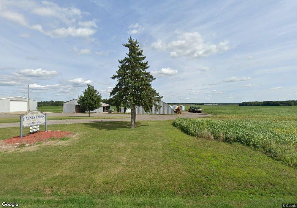
1297 Onondaga Rd Eaton Rapids, MI 48827
Estimated Value: $247,000 - $625,000
3
Beds
1
Bath
1,544
Sq Ft
$301/Sq Ft
Est. Value
About This Home
This home is located at 1297 Onondaga Rd, Eaton Rapids, MI 48827 and is currently estimated at $464,071, approximately $300 per square foot. 1297 Onondaga Rd is a home with nearby schools including Mason High School.
Ownership History
Date
Name
Owned For
Owner Type
Purchase Details
Closed on
Jul 27, 2010
Sold by
Columbia Lakes Development Llc
Bought by
Mull Dawn and Haynes Garrett
Current Estimated Value
Home Financials for this Owner
Home Financials are based on the most recent Mortgage that was taken out on this home.
Original Mortgage
$11,285
Interest Rate
4.63%
Mortgage Type
Stand Alone First
Purchase Details
Closed on
Feb 12, 1998
Sold by
Haynes Donis E
Bought by
Haynes Gary C
Create a Home Valuation Report for This Property
The Home Valuation Report is an in-depth analysis detailing your home's value as well as a comparison with similar homes in the area
Home Values in the Area
Average Home Value in this Area
Purchase History
| Date | Buyer | Sale Price | Title Company |
|---|---|---|---|
| Mull Dawn | $17,000 | None Available | |
| Haynes Gary C | $100,000 | -- |
Source: Public Records
Mortgage History
| Date | Status | Borrower | Loan Amount |
|---|---|---|---|
| Previous Owner | Mull Dawn | $11,285 |
Source: Public Records
Tax History Compared to Growth
Tax History
| Year | Tax Paid | Tax Assessment Tax Assessment Total Assessment is a certain percentage of the fair market value that is determined by local assessors to be the total taxable value of land and additions on the property. | Land | Improvement |
|---|---|---|---|---|
| 2025 | $6,527 | $328,600 | $220,600 | $108,000 |
| 2024 | $6,669 | $331,700 | $230,900 | $100,800 |
| 2023 | $6,669 | $304,100 | $206,600 | $97,500 |
| 2022 | $5,811 | $281,400 | $205,100 | $76,300 |
| 2021 | $5,683 | $260,900 | $205,400 | $55,500 |
| 2020 | $6,506 | $283,400 | $215,400 | $68,000 |
| 2019 | $6,332 | $268,500 | $192,700 | $75,800 |
| 2018 | $4,653 | $262,000 | $194,500 | $67,500 |
| 2017 | $4,354 | $262,000 | $194,500 | $67,500 |
| 2016 | -- | $226,800 | $159,100 | $67,700 |
| 2015 | -- | $211,600 | $0 | $0 |
| 2014 | -- | $212,900 | $0 | $0 |
Source: Public Records
Map
Nearby Homes
- 5906 W Barnes Rd
- 2093 Gale Rd
- 372 S Eifert Rd
- 4662 W Barnes Rd
- 2391 S Onondaga Rd
- 6042 W Plains Rd
- 1953 S Aurelius Rd
- 6401 Curtice Rd
- 5485 W Columbia Rd
- 2511 Gould Rd
- 119 Branson Bay Dr
- 4939 W Columbia Rd
- 466 Blue Spruce Ln Unit 55
- 1756 S Edgar Rd
- 380 Spicetree Ln Unit 48
- 2318 Arch Rd
- 0 Bond Rd Unit 291019
- 0 S Edgar Rd Lot I
- 0 Ferris Unit 290887
- 4480 W Columbia Rd
- 1288 Onondaga Rd
- 1280 Onondaga Rd
- 1350 Onondaga Rd
- 1360 Onondaga Rd
- 1179 Onondaga Rd
- 1420 Onondaga Rd
- 1448 Onondaga Rd
- 1149 Onondaga Rd
- 1449 Onondaga Rd
- 5550 W Toles Rd
- 1121 Onondaga Rd
- 1498 Onondaga Rd
- 1101 Onondaga Rd
- 5570 Toles Rd
- 1101 S Onondaga Rd
- 1511 S Onondaga Rd
- 5515 Toles Rd
- 5547 Toles Rd
- 5652 Toles Rd