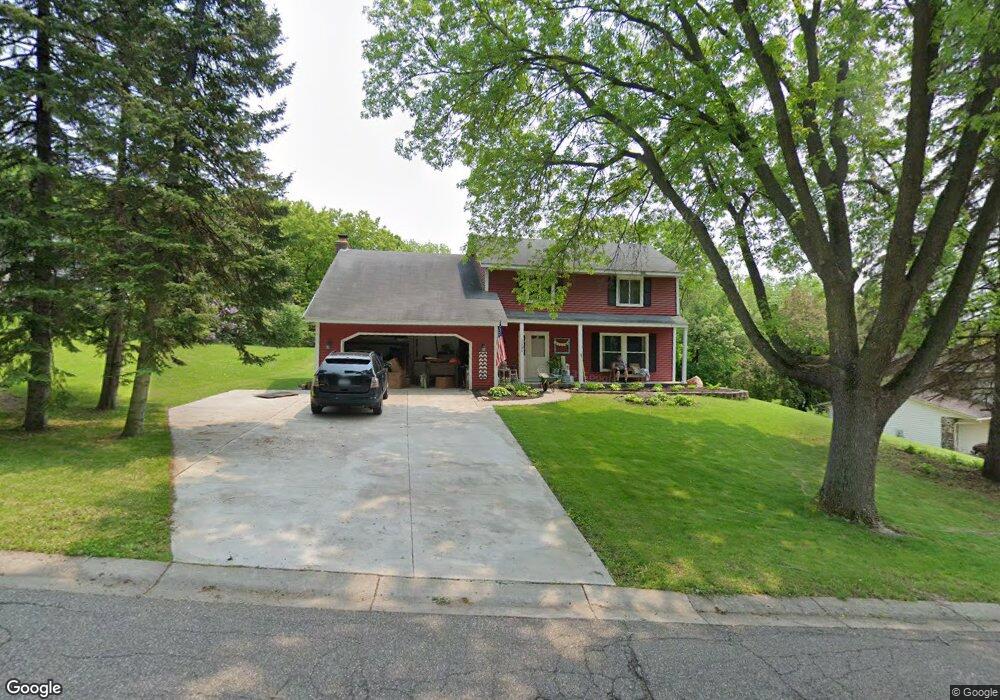
12986 Euclid Ave Saint Paul, MN 55124
Scott Highlands NeighborhoodEstimated Value: $466,000 - $500,000
5
Beds
4
Baths
2,058
Sq Ft
$233/Sq Ft
Est. Value
About This Home
This home is located at 12986 Euclid Ave, Saint Paul, MN 55124 and is currently estimated at $479,355, approximately $232 per square foot. 12986 Euclid Ave is a home located in Dakota County with nearby schools including Highland Elementary School, Falcon Ridge Middle School, and Eastview Senior High School.
Ownership History
Date
Name
Owned For
Owner Type
Purchase Details
Closed on
Jul 10, 2017
Sold by
Olson Phillip A and Olson Lisa E
Bought by
Maurer Ronda and Maurer Michael
Current Estimated Value
Home Financials for this Owner
Home Financials are based on the most recent Mortgage that was taken out on this home.
Original Mortgage
$324,900
Outstanding Balance
$269,937
Interest Rate
3.89%
Mortgage Type
New Conventional
Estimated Equity
$209,418
Purchase Details
Closed on
Feb 24, 2006
Sold by
Nelson Donald A and Nelson Lesley J
Bought by
Olson Phillip A and Olson Lisa E
Home Financials for this Owner
Home Financials are based on the most recent Mortgage that was taken out on this home.
Original Mortgage
$257,400
Interest Rate
8.3%
Mortgage Type
Land Contract Argmt. Of Sale
Create a Home Valuation Report for This Property
The Home Valuation Report is an in-depth analysis detailing your home's value as well as a comparison with similar homes in the area
Home Values in the Area
Average Home Value in this Area
Purchase History
| Date | Buyer | Sale Price | Title Company |
|---|---|---|---|
| Maurer Ronda | $342,000 | Burnet Title | |
| Olson Phillip A | $323,000 | -- | |
| Nelson Donald A | $323,000 | -- |
Source: Public Records
Mortgage History
| Date | Status | Borrower | Loan Amount |
|---|---|---|---|
| Open | Maurer Ronda | $324,900 | |
| Previous Owner | Nelson Donald A | $257,400 |
Source: Public Records
Tax History Compared to Growth
Tax History
| Year | Tax Paid | Tax Assessment Tax Assessment Total Assessment is a certain percentage of the fair market value that is determined by local assessors to be the total taxable value of land and additions on the property. | Land | Improvement |
|---|---|---|---|---|
| 2024 | $4,966 | $426,900 | $102,800 | $324,100 |
| 2023 | $4,966 | $437,700 | $103,000 | $334,700 |
| 2022 | $4,196 | $432,400 | $102,700 | $329,700 |
| 2021 | $4,008 | $363,600 | $89,300 | $274,300 |
| 2020 | $4,056 | $341,100 | $85,100 | $256,000 |
| 2019 | $3,597 | $335,300 | $81,000 | $254,300 |
| 2018 | $3,487 | $312,500 | $77,100 | $235,400 |
| 2017 | $3,507 | $291,400 | $73,500 | $217,900 |
| 2016 | $3,480 | $279,000 | $70,000 | $209,000 |
| 2015 | $3,325 | $261,529 | $65,454 | $196,075 |
| 2014 | -- | $251,501 | $62,757 | $188,744 |
| 2013 | -- | $229,047 | $57,285 | $171,762 |
Source: Public Records
Map
Nearby Homes
- 13169X Diamond Path
- 13150 Elderberry Ct
- 12740 Eveleth Path
- 12785 Edinbrook Path
- 13000 Echo Ln
- 12640 Eveleth Path
- 12932 Echo Ln
- 5040 127th St W
- 13641 Everton Ave
- 12816 Falcon Dr
- 6118 132nd St W
- 12888 Falcon Dr
- 13213 Ferris Ave
- 13105 Diamond Path
- 12855 Dory Ave
- 13169 Diamond Path
- 12451 Drayton Trail
- 12459 Drayton Trail
- 12443 Drayton Trail
- 12439 Drayton Trail
- 12996 Euclid Ave
- 12966 Euclid Ave
- 12946 Euclid Ave
- 12967 Euclid Ave
- 12987 Euclid Ave
- 12947 Euclid Ave
- 13006 Euclid Ave
- 12997 Euclid Ave
- 12926 Euclid Ave
- 13085 132nd St W
- 12927 Euclid Ave
- 13007 Euclid Ave
- 13065 132nd St W
- 13105 132nd St W
- 13016 Euclid Ave
- 12984 Eveleth Ave
- 13017 Euclid Ave
- 12964 Eveleth Ave
- 12907 Euclid Ave
- 13004 Eveleth Ave