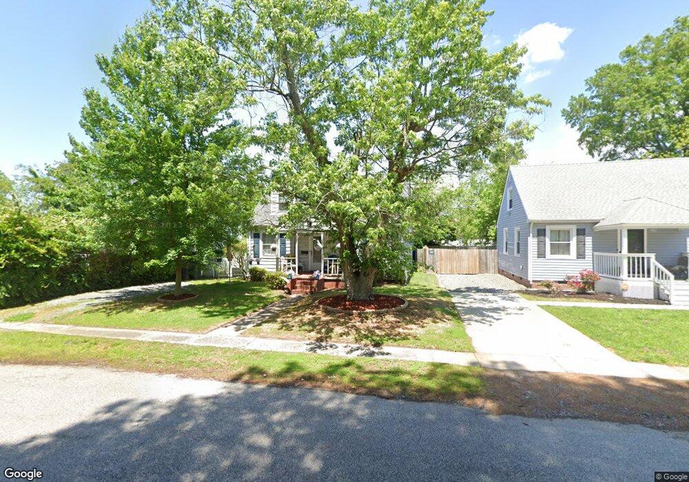
13 Earl St Hampton, VA 23669
Newtown-Crown Point NeighborhoodEstimated Value: $256,903 - $277,000
4
Beds
2
Baths
1,715
Sq Ft
$156/Sq Ft
Est. Value
About This Home
This home is located at 13 Earl St, Hampton, VA 23669 and is currently estimated at $267,226, approximately $155 per square foot. 13 Earl St is a home located in Hampton City with nearby schools including Hunter B. Andrews PK-8 School, C. Alton Lindsay Middle School, and Phoebus High School.
Ownership History
Date
Name
Owned For
Owner Type
Purchase Details
Closed on
Dec 22, 2003
Sold by
Billups Kenneth W
Bought by
Anderson Vicki L
Current Estimated Value
Home Financials for this Owner
Home Financials are based on the most recent Mortgage that was taken out on this home.
Original Mortgage
$92,314
Outstanding Balance
$43,015
Interest Rate
5.96%
Mortgage Type
FHA
Estimated Equity
$224,211
Create a Home Valuation Report for This Property
The Home Valuation Report is an in-depth analysis detailing your home's value as well as a comparison with similar homes in the area
Home Values in the Area
Average Home Value in this Area
Purchase History
| Date | Buyer | Sale Price | Title Company |
|---|---|---|---|
| Anderson Vicki L | $107,000 | -- |
Source: Public Records
Mortgage History
| Date | Status | Borrower | Loan Amount |
|---|---|---|---|
| Open | Anderson Vicki L | $92,314 |
Source: Public Records
Tax History
| Year | Tax Paid | Tax Assessment Tax Assessment Total Assessment is a certain percentage of the fair market value that is determined by local assessors to be the total taxable value of land and additions on the property. | Land | Improvement |
|---|---|---|---|---|
| 2025 | $2,365 | $196,100 | $50,000 | $146,100 |
| 2024 | $2,198 | $191,100 | $50,000 | $141,100 |
| 2023 | $2,172 | $187,200 | $50,000 | $137,200 |
| 2022 | $1,880 | $159,300 | $45,000 | $114,300 |
| 2021 | $1,918 | $144,200 | $45,000 | $99,200 |
| 2020 | $1,690 | $136,300 | $36,200 | $100,100 |
| 2019 | $1,575 | $127,000 | $36,200 | $90,800 |
| 2018 | $1,681 | $130,800 | $36,200 | $94,600 |
| 2017 | $1,716 | $0 | $0 | $0 |
| 2016 | $1,716 | $130,800 | $0 | $0 |
| 2015 | $1,646 | $0 | $0 | $0 |
| 2014 | $860 | $125,200 | $36,200 | $89,000 |
Source: Public Records
Map
Nearby Homes
- 44 Henry St
- 39 W Sunset Rd
- 29 Moss Ave
- 27 Trail St
- 410 Worster Ave
- 163 Columbia Ave
- 159 Columbia Ave
- 460 England Ave
- 416 Worster Ave
- 137 Clyde St
- 4408 Victoria Blvd
- 241 Newport News Ave
- 430 Newport News Ave
- 19 Capps Qtrs Unit 1
- 19 Capps Qtrs
- 6 Capps Qtrs Unit 2
- 415 Lee St
- 3614 Matoaka Rd
- 3818 Shell Rd
- 4 Cedar Point Dr
Your Personal Tour Guide
Ask me questions while you tour the home.