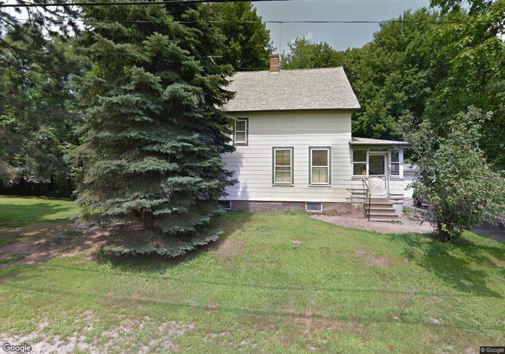
13 Flagg St Boylston, MA 01505
Estimated Value: $359,000 - $436,000
4
Beds
4
Baths
1,080
Sq Ft
$371/Sq Ft
Est. Value
About This Home
This home is located at 13 Flagg St, Boylston, MA 01505 and is currently estimated at $400,564, approximately $370 per square foot. 13 Flagg St is a home located in Worcester County with nearby schools including Tahanto Regional High School, Central New England Christian Academy, and St John's High School.
Create a Home Valuation Report for This Property
The Home Valuation Report is an in-depth analysis detailing your home's value as well as a comparison with similar homes in the area
Home Values in the Area
Average Home Value in this Area
Tax History
| Year | Tax Paid | Tax Assessment Tax Assessment Total Assessment is a certain percentage of the fair market value that is determined by local assessors to be the total taxable value of land and additions on the property. | Land | Improvement |
|---|---|---|---|---|
| 2025 | $3,978 | $287,600 | $151,200 | $136,400 |
| 2024 | $3,918 | $283,700 | $151,200 | $132,500 |
| 2023 | $3,679 | $255,500 | $142,700 | $112,800 |
| 2022 | $3,874 | $244,600 | $142,700 | $101,900 |
| 2021 | $5,457 | $222,300 | $142,700 | $79,600 |
| 2020 | $3,042 | $183,900 | $116,300 | $67,600 |
| 2019 | $2,866 | $178,700 | $113,900 | $64,800 |
| 2018 | $2,847 | $175,800 | $113,900 | $61,900 |
| 2017 | $4,613 | $175,800 | $113,900 | $61,900 |
| 2016 | $2,858 | $174,600 | $108,200 | $66,400 |
| 2015 | $3,040 | $174,600 | $108,200 | $66,400 |
| 2014 | $2,789 | $160,400 | $96,900 | $63,500 |
Source: Public Records
Map
Nearby Homes
- 49 Cook St
- 17 Ledgewood Dr
- 42 Sewall Dr
- 5 Barnard Hill Rd
- 79 Humes Ave
- 37 Humes Ave
- 9 Conifer Cir Unit 26
- 58 Conifer Cir Unit 24
- 39 Bullard Ave
- 223 Gulf St
- 291 Sewall St Unit 291
- 289 Sewall St Unit 289
- 163 Gulf St
- 86 Saint Nicholas Ave
- 14 Governors St
- 2 Clover Glen Cir
- 36 Rowena St
- 1 Basswood Blvd Unit 1
- 10 Cabot Dr Unit 51
- 14 Angell Brook Dr
Your Personal Tour Guide
Ask me questions while you tour the home.