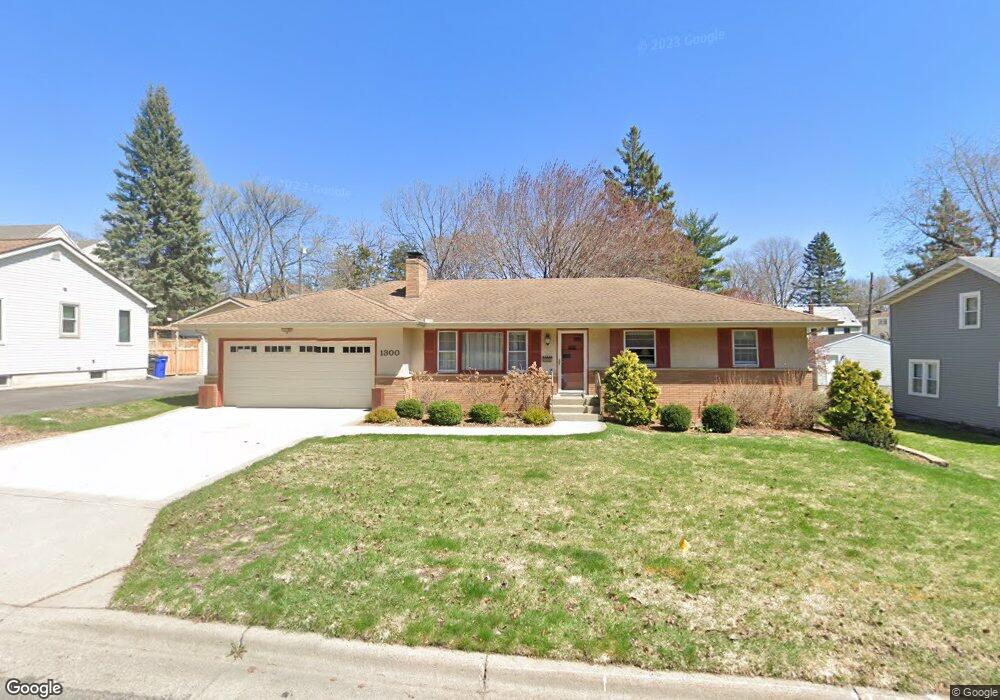
1300 Danforth St Saint Paul, MN 55117
North End NeighborhoodEstimated Value: $374,542 - $484,000
3
Beds
2
Baths
2,506
Sq Ft
$164/Sq Ft
Est. Value
About This Home
This home is located at 1300 Danforth St, Saint Paul, MN 55117 and is currently estimated at $411,886, approximately $164 per square foot. 1300 Danforth St is a home located in Ramsey County with nearby schools including Como Park Elementary School, Murray Middle School, and Como Park Senior High School.
Ownership History
Date
Name
Owned For
Owner Type
Purchase Details
Closed on
Feb 3, 2014
Sold by
Mechura Dorothy Dorothy
Bought by
Mechura Anderson Lynn Lynn
Current Estimated Value
Purchase Details
Closed on
Dec 29, 2008
Sold by
Mechura Dorothy C
Bought by
Anderson Lynn M Mechura
Create a Home Valuation Report for This Property
The Home Valuation Report is an in-depth analysis detailing your home's value as well as a comparison with similar homes in the area
Home Values in the Area
Average Home Value in this Area
Purchase History
| Date | Buyer | Sale Price | Title Company |
|---|---|---|---|
| Mechura Anderson Lynn Lynn | $223,200 | -- | |
| Anderson Lynn M Mechura | $223,200 | -- |
Source: Public Records
Mortgage History
| Date | Status | Borrower | Loan Amount |
|---|---|---|---|
| Closed | Anderson Lynn M Mechura | $0 | |
| Closed | Anderson Lynn M Mechura | $223,200 |
Source: Public Records
Tax History Compared to Growth
Tax History
| Year | Tax Paid | Tax Assessment Tax Assessment Total Assessment is a certain percentage of the fair market value that is determined by local assessors to be the total taxable value of land and additions on the property. | Land | Improvement |
|---|---|---|---|---|
| 2025 | $5,216 | $380,900 | $50,000 | $330,900 |
| 2023 | $5,216 | $341,200 | $50,000 | $291,200 |
| 2022 | $4,486 | $313,900 | $50,000 | $263,900 |
| 2021 | $4,766 | $285,500 | $50,000 | $235,500 |
| 2020 | $4,792 | $312,100 | $45,100 | $267,000 |
| 2019 | $4,626 | $293,400 | $45,100 | $248,300 |
| 2018 | $4,116 | $280,800 | $45,100 | $235,700 |
| 2017 | $3,252 | $259,800 | $45,100 | $214,700 |
| 2016 | $3,044 | $0 | $0 | $0 |
| 2015 | $2,982 | $199,300 | $45,100 | $154,200 |
| 2014 | $3,138 | $0 | $0 | $0 |
Source: Public Records
Map
Nearby Homes
- 1342 Dale St N
- 1241 Maywood St
- tbd MacKubin St
- 1165 Norton St
- 1176 Norton St
- 1175 Arundel St
- 1464 Maywood St
- 766 Maryland Ave W
- 1104 MacKubin St
- 1063 Dale St N
- 397 Cottage Ave W Unit 3
- 1049 Kent St
- 1457 Arundel St
- 1005 Como Blvd E
- 408 Arlington Ave W
- 1222 Como Blvd E
- 1539 Dale St N
- 705 Como Ave
- 740 Como Ave
- 569 Hatch Ave
- 1306 Danforth St
- 1294 Danforth St
- 586 Wheelock Pkwy W
- 1303 Kent St
- 1295 Kent St
- 1303 Danforth St
- 1311 Kent St
- 1284 Danforth St
- 1291 Kent St
- 1295 Danforth St
- 594 Wheelock Pkwy W
- 594 594 Wheelock-Parkway-w
- 1287 Kent St
- 1287 1287 Kent-Street-
- 560 Wheelock Pkwy W
- 1291 1291 Kent-Street-
- 1276 Danforth St
- 1283 Kent St
- 1289 Danforth St
- 602 Wheelock Pkwy W