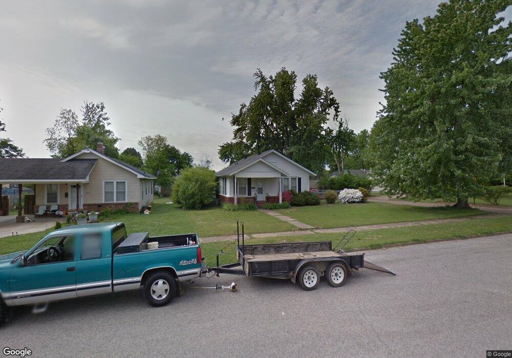
1301 High St Union City, TN 38261
Estimated Value: $63,000 - $84,000
--
Bed
1
Bath
899
Sq Ft
$80/Sq Ft
Est. Value
About This Home
This home is located at 1301 High St, Union City, TN 38261 and is currently estimated at $71,906, approximately $79 per square foot. 1301 High St is a home located in Obion County with nearby schools including Union City Elementary School, Union City Middle School, and Union City High School.
Ownership History
Date
Name
Owned For
Owner Type
Purchase Details
Closed on
Oct 10, 2008
Sold by
Gray Andrew Gene
Bought by
Allen Jeff
Current Estimated Value
Home Financials for this Owner
Home Financials are based on the most recent Mortgage that was taken out on this home.
Original Mortgage
$36,055
Interest Rate
5.96%
Mortgage Type
Cash
Purchase Details
Closed on
Jan 10, 1992
Bought by
Gray Andrew and Gray Mary D
Purchase Details
Closed on
Apr 23, 1991
Bought by
Leip Merry
Purchase Details
Closed on
Aug 28, 1990
Bought by
Moore Virginia L
Purchase Details
Closed on
Jun 29, 1989
Purchase Details
Closed on
Jun 23, 1988
Bought by
Moore Virginia L
Purchase Details
Closed on
Sep 17, 1985
Bought by
Goodrich Walter S and Goodrich Constance
Create a Home Valuation Report for This Property
The Home Valuation Report is an in-depth analysis detailing your home's value as well as a comparison with similar homes in the area
Home Values in the Area
Average Home Value in this Area
Purchase History
| Date | Buyer | Sale Price | Title Company |
|---|---|---|---|
| Allen Jeff | $30,000 | -- | |
| Gray Andrew | -- | -- | |
| Leip Merry | $26,000 | -- | |
| Moore Virginia L | $30,000 | -- | |
| -- | $23,000 | -- | |
| Moore Virginia L | -- | -- | |
| Goodrich Walter S | -- | -- |
Source: Public Records
Mortgage History
| Date | Status | Borrower | Loan Amount |
|---|---|---|---|
| Closed | Goodrich Walter S | $36,055 |
Source: Public Records
Tax History Compared to Growth
Tax History
| Year | Tax Paid | Tax Assessment Tax Assessment Total Assessment is a certain percentage of the fair market value that is determined by local assessors to be the total taxable value of land and additions on the property. | Land | Improvement |
|---|---|---|---|---|
| 2025 | -- | $13,125 | $0 | $0 |
| 2024 | -- | $13,325 | $1,925 | $11,400 |
| 2023 | $373 | $13,325 | $1,925 | $11,400 |
| 2022 | $152 | $9,525 | $2,475 | $7,050 |
| 2021 | $149 | $9,525 | $2,475 | $7,050 |
| 2020 | $152 | $9,525 | $2,475 | $7,050 |
| 2019 | $354 | $9,525 | $2,475 | $7,050 |
| 2018 | $352 | $9,525 | $2,475 | $7,050 |
| 2017 | $358 | $9,400 | $2,475 | $6,925 |
| 2016 | $358 | $9,400 | $2,475 | $6,925 |
| 2015 | $356 | $9,400 | $2,475 | $6,925 |
| 2014 | $356 | $9,400 | $2,475 | $6,925 |
Source: Public Records
Map
Nearby Homes
- 817 Exchange St
- 803 E Main St
- 0 S Miles Ave Unit 41030
- 724 E Martin Luther King
- 901 S Home St
- 633 E Jackson St
- 1813 E Vine St
- 1009 E Cheatham St
- 610 Perkins St
- 1326 Holiday Rd
- 0 Tennessee 431
- 1361 S Miles Ave
- 1319 Honeysuckle Dr
- 501 N 1st St
- 616 S 3rd St
- 1405 S Sunswept Dr
- 803 Nelson St
- 922 N Division St
- 713 Nelson St
- 605 S 5th St