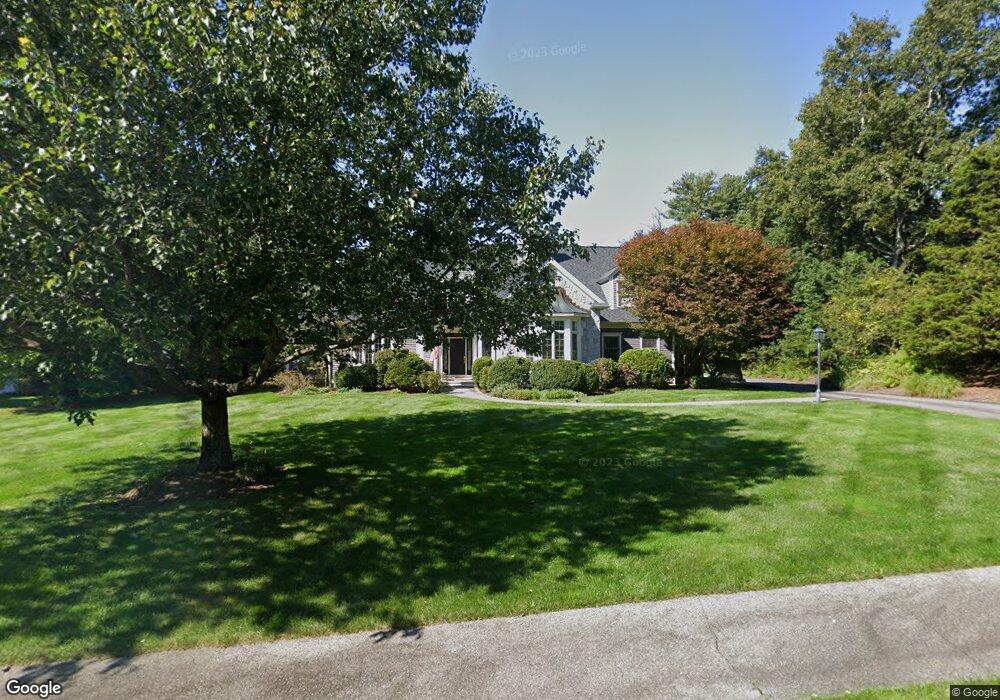
131 Bridle Trail Rd Needham, MA 02492
Estimated Value: $2,132,000 - $3,679,000
4
Beds
4
Baths
2,872
Sq Ft
$934/Sq Ft
Est. Value
About This Home
This home is located at 131 Bridle Trail Rd, Needham, MA 02492 and is currently estimated at $2,683,169, approximately $934 per square foot. 131 Bridle Trail Rd is a home located in Norfolk County with nearby schools including Newman Elementary School, High Rock Middle School, and Pollard Middle School.
Ownership History
Date
Name
Owned For
Owner Type
Purchase Details
Closed on
Aug 7, 2024
Sold by
Martin Alison G
Bought by
Alison G Martin T G and Alison Martin
Current Estimated Value
Purchase Details
Closed on
Sep 6, 1996
Sold by
Pershing Constr Inc
Bought by
Martin Dana K and Martin Alison G
Home Financials for this Owner
Home Financials are based on the most recent Mortgage that was taken out on this home.
Original Mortgage
$700,000
Interest Rate
8.11%
Mortgage Type
Purchase Money Mortgage
Create a Home Valuation Report for This Property
The Home Valuation Report is an in-depth analysis detailing your home's value as well as a comparison with similar homes in the area
Home Values in the Area
Average Home Value in this Area
Purchase History
| Date | Buyer | Sale Price | Title Company |
|---|---|---|---|
| Alison G Martin T G | -- | None Available | |
| Alison G Martin T G | -- | None Available | |
| Martin Dana K | $875,000 | -- | |
| Martin Dana K | $875,000 | -- |
Source: Public Records
Mortgage History
| Date | Status | Borrower | Loan Amount |
|---|---|---|---|
| Previous Owner | Martin Dana K | $499,000 | |
| Previous Owner | Martin Dana K | $500,000 | |
| Previous Owner | Martin Dana K | $700,000 |
Source: Public Records
Tax History
| Year | Tax Paid | Tax Assessment Tax Assessment Total Assessment is a certain percentage of the fair market value that is determined by local assessors to be the total taxable value of land and additions on the property. | Land | Improvement |
|---|---|---|---|---|
| 2025 | $21,528 | $2,030,900 | $787,100 | $1,243,800 |
| 2024 | $23,595 | $1,884,600 | $949,300 | $935,300 |
| 2023 | $23,630 | $1,812,100 | $949,300 | $862,800 |
| 2022 | $21,589 | $1,614,700 | $797,400 | $817,300 |
| 2021 | $21,040 | $1,614,700 | $797,400 | $817,300 |
| 2020 | $20,155 | $1,613,700 | $797,800 | $815,900 |
| 2019 | $19,881 | $1,604,600 | $797,800 | $806,800 |
| 2018 | $19,063 | $1,604,600 | $797,800 | $806,800 |
| 2017 | $20,407 | $1,716,300 | $839,800 | $876,500 |
| 2016 | $19,806 | $1,716,300 | $839,800 | $876,500 |
| 2015 | $19,377 | $1,716,300 | $839,800 | $876,500 |
| 2014 | $19,652 | $1,688,300 | $839,800 | $848,500 |
Source: Public Records
Map
Nearby Homes
- 189 Bridle Trail Rd
- 37 Carleton Dr
- 34 Stratford Rd
- 21 Cedar Springs Ln
- 95 Deerfield Rd
- 1780 Central Ave
- 620 High Rock St
- 365 Charles River St
- 88 Robinwood Ave
- 361 High Rock St
- 8 Crestview Rd
- 287 High Rock St
- 21 Brewster Dr
- 37 Standish Rd
- 19 Mason Rd
- 55 Willow St
- 333 Cartwright Rd
- 15 Mackintosh Ave
- 52 Hancock Rd
- 957 South St
- 145 Bridle Trail Rd
- 117 Bridle Trail Rd
- 142 Bridle Trail Rd
- 157 Bridle Trail Rd
- 71 Cranberry Ln
- 99 Bridle Trail Rd
- 1516 Central Ave
- 154 Bridle Trail Rd
- 1490 Central Ave
- 168 Bridle Trail Rd
- 165 Bridle Trail Rd
- 98 Bridle Trail Rd
- 52 Cranberry Ln
- 196 Bridle Trail Rd
- 41 Cranberry Ln
- 1480 Central Ave
- 77 Bridle Trail Rd
- 68 Bridle Trail Rd
- 232 Bridle Trail Rd
- 177 Bridle Trail Rd
Your Personal Tour Guide
Ask me questions while you tour the home.