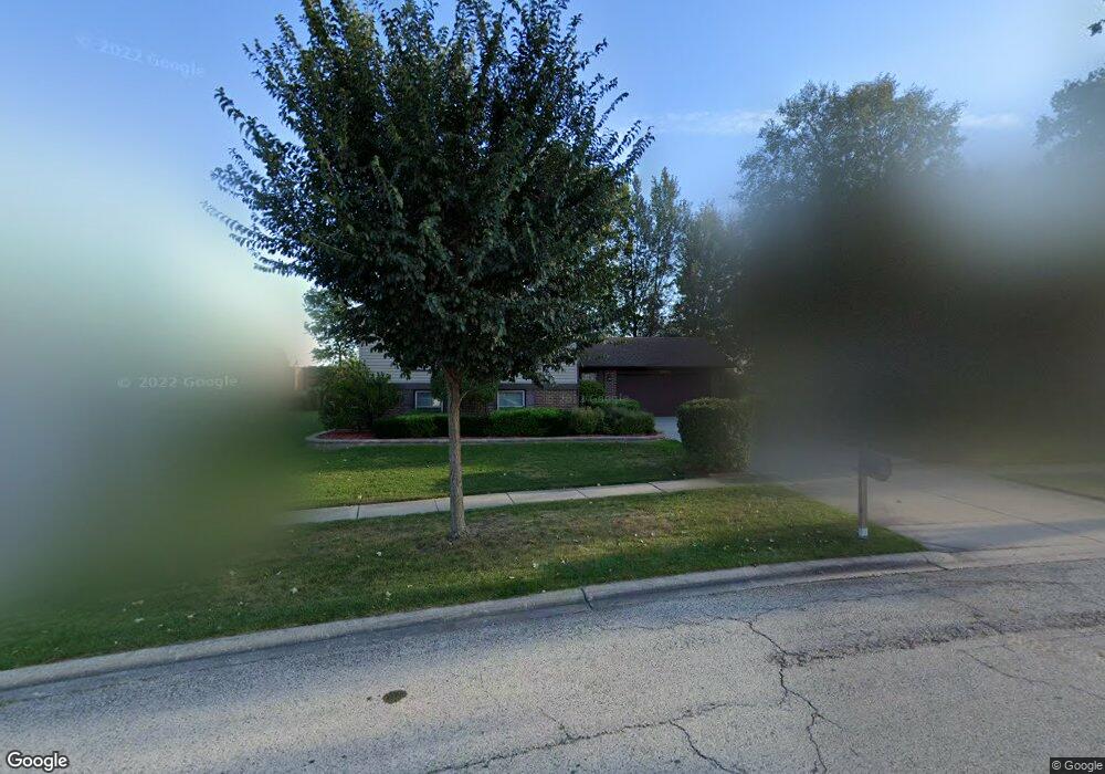
1313 Rolling Prairie Ct Hoffman Estates, IL 60192
South Ridge NeighborhoodEstimated Value: $417,000 - $427,636
3
Beds
2
Baths
1,367
Sq Ft
$310/Sq Ft
Est. Value
About This Home
This home is located at 1313 Rolling Prairie Ct, Hoffman Estates, IL 60192 and is currently estimated at $423,159, approximately $309 per square foot. 1313 Rolling Prairie Ct is a home located in Cook County with nearby schools including Thomas Jefferson Elementary School, Frank C. Whiteley Elementary School, and Plum Grove Jr High School.
Ownership History
Date
Name
Owned For
Owner Type
Purchase Details
Closed on
Jun 24, 1997
Sold by
Kaminski James J
Bought by
Kaminski Deborah M
Current Estimated Value
Home Financials for this Owner
Home Financials are based on the most recent Mortgage that was taken out on this home.
Original Mortgage
$134,300
Interest Rate
6.75%
Create a Home Valuation Report for This Property
The Home Valuation Report is an in-depth analysis detailing your home's value as well as a comparison with similar homes in the area
Home Values in the Area
Average Home Value in this Area
Purchase History
| Date | Buyer | Sale Price | Title Company |
|---|---|---|---|
| Kaminski Deborah M | -- | -- |
Source: Public Records
Mortgage History
| Date | Status | Borrower | Loan Amount |
|---|---|---|---|
| Closed | Kaminski Deborah M | $134,300 |
Source: Public Records
Tax History Compared to Growth
Tax History
| Year | Tax Paid | Tax Assessment Tax Assessment Total Assessment is a certain percentage of the fair market value that is determined by local assessors to be the total taxable value of land and additions on the property. | Land | Improvement |
|---|---|---|---|---|
| 2024 | $8,594 | $34,000 | $6,722 | $27,278 |
| 2023 | $8,250 | $34,000 | $6,722 | $27,278 |
| 2022 | $8,250 | $34,000 | $6,722 | $27,278 |
| 2021 | $5,184 | $26,822 | $4,668 | $22,154 |
| 2020 | $4,723 | $26,822 | $4,668 | $22,154 |
| 2019 | $4,659 | $29,737 | $4,668 | $25,069 |
| 2018 | $5,060 | $27,375 | $4,294 | $23,081 |
| 2017 | $4,878 | $27,375 | $4,294 | $23,081 |
| 2016 | $5,403 | $28,473 | $4,294 | $24,179 |
| 2015 | $6,113 | $24,166 | $3,921 | $20,245 |
| 2014 | $6,579 | $26,594 | $3,921 | $22,673 |
| 2013 | $7,123 | $26,594 | $3,921 | $22,673 |
Source: Public Records
Map
Nearby Homes
- 1404 W Sapphire Dr
- 4320 Lombardy Ln
- 1195 Old Timber Ct
- 1208 Old Timber Ln
- 4827 Turnberry Dr
- 4760 Amber Cir
- 4890 Prestwick Place
- 4944 Somerton Dr
- 330 Poteet Ave
- 13 Chipping Campden Dr
- 4950 Rochester Dr
- 3925 Charlemagne Dr
- 5015 Rochester Dr
- 26 Forest Ln
- 5190 Chambers Dr
- 39 Forest Ln
- 795 Plymouth Rd
- 3835 Huntington Blvd
- 16 Forest Ln
- 815 Concord Cove
- 1325 Rolling Prairie Ct Unit 2
- 1301 Rolling Prairie Ct
- 4446 Sundance Cir
- 1337 Rolling Prairie Ct
- 1312 Rolling Prairie Ct
- 1324 Rolling Prairie Ct
- 4440 Sundance Cir
- 1349 Rolling Prairie Ct
- 4463 Sundance Cir
- 1348 Rolling Prairie Ct
- 1338 Rolling Prairie Ct
- 4464 Sundance Cir
- 4442 Mumford Dr
- 4431 Trailside Ct
- 4441 Trailside Ct
- 4469 Sundance Cir
- 4470 Sundance Cir
- 4421 Trailside Ct
- 4451 Trailside Ct
- 4454 Mumford Dr