1317 W Maple Ave Red Wing, MN 55066
Estimated Value: $305,000 - $410,000
3
Beds
2
Baths
3,193
Sq Ft
$111/Sq Ft
Est. Value
About This Home
This home is located at 1317 W Maple Ave, Red Wing, MN 55066 and is currently estimated at $355,724, approximately $111 per square foot. 1317 W Maple Ave is a home located in Goodhue County with nearby schools including Sunnyside Elementary School, Burnside Elementary School, and Twin Bluff Middle School.
Ownership History
Date
Name
Owned For
Owner Type
Purchase Details
Closed on
Aug 11, 2004
Sold by
Marshall Christopher C and Marshall Rachel M
Bought by
Luhman Luther J and Luhman Bonnie B
Current Estimated Value
Purchase Details
Closed on
Oct 26, 2001
Sold by
Pettit Shawn D and Pettit Debbie C
Bought by
Marshall Christopher C and Marshall Rachel M
Purchase Details
Closed on
Sep 26, 1997
Sold by
Yockey Steven C and Yockey Terry L
Bought by
Pettit Shawn D and Pettit Debra C
Create a Home Valuation Report for This Property
The Home Valuation Report is an in-depth analysis detailing your home's value as well as a comparison with similar homes in the area
Home Values in the Area
Average Home Value in this Area
Purchase History
| Date | Buyer | Sale Price | Title Company |
|---|---|---|---|
| Luhman Luther J | $182,000 | -- | |
| Marshall Christopher C | $155,000 | -- | |
| Pettit Shawn D | $122,400 | -- |
Source: Public Records
Tax History
| Year | Tax Paid | Tax Assessment Tax Assessment Total Assessment is a certain percentage of the fair market value that is determined by local assessors to be the total taxable value of land and additions on the property. | Land | Improvement |
|---|---|---|---|---|
| 2025 | $3,794 | $304,500 | $53,100 | $251,400 |
| 2024 | -- | $297,200 | $53,100 | $244,100 |
| 2023 | $3,506 | $281,300 | $53,100 | $228,200 |
| 2022 | $3,224 | $269,600 | $43,100 | $226,500 |
| 2021 | $2,988 | $229,600 | $43,100 | $186,500 |
| 2020 | $2,928 | $217,100 | $43,100 | $174,000 |
| 2019 | $2,918 | $200,700 | $43,100 | $157,600 |
| 2018 | $2,328 | $202,200 | $41,400 | $160,800 |
| 2017 | $2,278 | $176,600 | $41,400 | $135,200 |
| 2016 | $2,106 | $175,200 | $41,400 | $133,800 |
| 2015 | $2,090 | $170,600 | $41,400 | $129,200 |
| 2014 | -- | $168,400 | $41,400 | $127,000 |
Source: Public Records
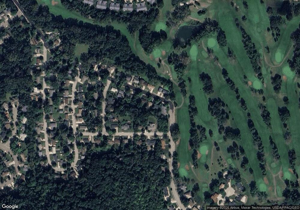
Map
Nearby Homes
- 1108 Hawthorne St
- 1528 W 6th St
- 1606 Reichert Ave
- 717 Blaine St
- 1020 Hawthorne St
- 1227 W 4th St
- 1050 Sturtevant St
- 1738 W 6th St
- 1330 Hillside Dr
- 1348 Hillside Dr
- 1130 W 4th St
- 1004 College Ave
- 818 Hawthorne St
- 1828 Perlich Ave Unit 2G
- 1757 Cobblestone Ct
- 910 W 4th St
- 815 W 4th St
- 430 Harrison St
- 814 Central Ave
- 1003 Central Ave
- 1309 W Maple Ave
- 1323 W Maple Ave
- 1504 Spruce Dr
- 1318 Red Oak Ave
- 1318 Red Oak Ave
- 1326 Red Oak Ave
- 1322 W Maple Ave
- 1337 1337 Maple Ave W
- 1308 W Maple Ave
- 1337 W Maple Ave
- 1328 W Maple Ave
- 1342 Red Oak Ave
- 1336 W Maple Ave
- 1345 W Maple Ave
- 1344 W Maple Ave
- 1529 Willow Dr
- 1521 Willow Dr
- 1315 Red Oak Ave
- 1537 Willow Dr
- 1353 W Maple Ave
Your Personal Tour Guide
Ask me questions while you tour the home.