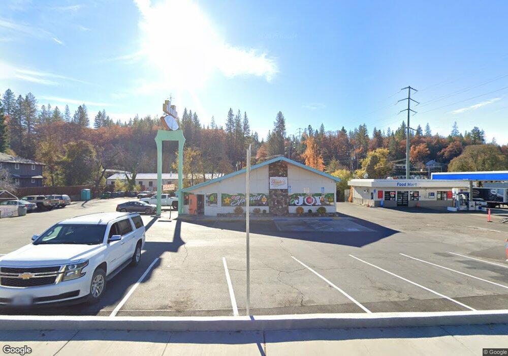
1318 Broadway Placerville, CA 95667
Estimated Value: $937,695
Studio
2
Baths
--
Sq Ft
34,848
Sq Ft
About This Home
This home is located at 1318 Broadway, Placerville, CA 95667 and is currently estimated at $937,695. 1318 Broadway is a home located in El Dorado County with nearby schools including El Dorado High School and El Dorado Adventist School.
Ownership History
Date
Name
Owned For
Owner Type
Purchase Details
Closed on
Nov 28, 2018
Sold by
Orelli Patrick J and Georgie Orelli Family Trust
Bought by
Aubrey Annie R
Current Estimated Value
Home Financials for this Owner
Home Financials are based on the most recent Mortgage that was taken out on this home.
Original Mortgage
$528,000
Outstanding Balance
$465,179
Interest Rate
4.8%
Mortgage Type
Purchase Money Mortgage
Estimated Equity
$472,516
Purchase Details
Closed on
Mar 8, 2018
Sold by
Orelli Patrick J and Orelli William A
Bought by
Orelli Patrick J and The Georgie Orelli Family Trus
Create a Home Valuation Report for This Property
The Home Valuation Report is an in-depth analysis detailing your home's value as well as a comparison with similar homes in the area
Home Values in the Area
Average Home Value in this Area
Purchase History
| Date | Buyer | Sale Price | Title Company |
|---|---|---|---|
| Aubrey Annie R | $750,000 | Placer Title Company | |
| Orelli Patrick J | -- | Placer Title Company |
Source: Public Records
Mortgage History
| Date | Status | Borrower | Loan Amount |
|---|---|---|---|
| Open | Aubrey Annie R | $528,000 |
Source: Public Records
Tax History
| Year | Tax Paid | Tax Assessment Tax Assessment Total Assessment is a certain percentage of the fair market value that is determined by local assessors to be the total taxable value of land and additions on the property. | Land | Improvement |
|---|---|---|---|---|
| 2025 | $12,052 | $1,154,982 | $501,981 | $653,001 |
| 2024 | $12,052 | $1,123,420 | $492,139 | $631,281 |
| 2023 | $11,824 | $1,092,900 | $482,490 | $610,410 |
| 2022 | $11,574 | $1,063,383 | $473,030 | $590,353 |
| 2021 | $8,589 | $772,925 | $463,755 | $309,170 |
| 2020 | $8,464 | $765,000 | $459,000 | $306,000 |
| 2019 | $8,364 | $750,000 | $450,000 | $300,000 |
| 2018 | $2,871 | $239,904 | $63,409 | $176,495 |
| 2017 | $2,833 | $235,201 | $62,166 | $173,035 |
| 2016 | $2,794 | $230,591 | $60,948 | $169,643 |
| 2015 | $2,680 | $227,130 | $60,034 | $167,096 |
| 2014 | $2,680 | $222,683 | $58,859 | $163,824 |
Source: Public Records
Map
Nearby Homes
- 2977 Mosquito Rd
- 2660 Clay St
- 2940 Anderson Way
- 678 Main St
- 2921 Miller Way
- 2655 Mona Dr
- 1302 Nicks Ln
- 3095 Cedar Ravine Rd
- 1015 Utah Dr
- 1000 Utah Dr
- 0 Trails End Dr Unit 225117516
- 1016 Utah Dr
- 1012 Utah Dr
- 3166 Cedar Ravine Rd
- 1002 Utah Dr
- 1004 Utah Dr
- 1006 Utah Dr
- 1030 Lemongrass Ct
- 1008 Utah Dr
- 3237 Francis Ave
Your Personal Tour Guide
Ask me questions while you tour the home.