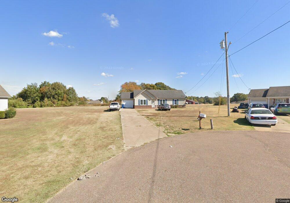
132 Dove Cove E Covington, TN 38019
Estimated Value: $141,000 - $240,000
Studio
2
Baths
1,562
Sq Ft
$130/Sq Ft
Est. Value
About This Home
This home is located at 132 Dove Cove E, Covington, TN 38019 and is currently estimated at $203,225, approximately $130 per square foot. 132 Dove Cove E is a home located in Tipton County with nearby schools including Crestview Elementary School, Crestview Middle School, and Covington High School.
Ownership History
Date
Name
Owned For
Owner Type
Purchase Details
Closed on
Aug 30, 2004
Sold by
Edwards Thomas R
Bought by
Jones Troy W
Current Estimated Value
Home Financials for this Owner
Home Financials are based on the most recent Mortgage that was taken out on this home.
Original Mortgage
$85,000
Outstanding Balance
$45,659
Interest Rate
7.5%
Estimated Equity
$157,566
Purchase Details
Closed on
Aug 30, 2001
Bought by
Edwards Thomas R
Purchase Details
Closed on
Feb 21, 1997
Bought by
Tan Tony Khieng and Chuong Heang Sok
Purchase Details
Closed on
May 13, 1983
Bought by
Baskin S J
Create a Home Valuation Report for This Property
The Home Valuation Report is an in-depth analysis detailing your home's value as well as a comparison with similar homes in the area
Purchase History
| Date | Buyer | Sale Price | Title Company |
|---|---|---|---|
| Jones Troy W | $100,000 | -- | |
| Edwards Thomas R | $78,400 | -- | |
| Tan Tony Khieng | $75,000 | -- | |
| Baskin S J | -- | -- |
Source: Public Records
Mortgage History
| Date | Status | Borrower | Loan Amount |
|---|---|---|---|
| Open | Baskin S J | $85,000 |
Source: Public Records
Tax History
| Year | Tax Paid | Tax Assessment Tax Assessment Total Assessment is a certain percentage of the fair market value that is determined by local assessors to be the total taxable value of land and additions on the property. | Land | Improvement |
|---|---|---|---|---|
| 2025 | -- | $45,000 | $4,250 | $40,750 |
| 2024 | -- | $45,000 | $4,250 | $40,750 |
| 2023 | $1,141 | $45,000 | $4,250 | $40,750 |
| 2022 | $1,034 | $31,500 | $3,125 | $28,375 |
| 2021 | $1,034 | $31,500 | $3,125 | $28,375 |
| 2020 | $1,033 | $31,500 | $3,125 | $28,375 |
| 2019 | $1,102 | $29,375 | $3,125 | $26,250 |
| 2018 | $1,102 | $29,375 | $3,125 | $26,250 |
| 2017 | $1,102 | $29,375 | $3,125 | $26,250 |
| 2016 | $1,102 | $29,375 | $3,125 | $26,250 |
| 2015 | $1,101 | $29,375 | $3,125 | $26,250 |
| 2014 | $1,101 | $29,378 | $0 | $0 |
Source: Public Records
Map
Nearby Homes
- 1844 Wooten St
- 0 Hwy 51
- 1186 U S 51
- 1015 Wortham Dr
- LOT 7 Oil Mill Rd
- LOT 5 Oil Mill Rd
- LOT 3 Oil Mill Rd
- LOT 4 Oil Mill Rd
- LOT 8 Oil Mill Rd
- LOT 6 Oil Mill Rd
- 451 Yarbrough Rd
- 417 Turner Ln
- 902 Hatchie Ave
- 900 Peete St
- 664 Rialto Rd
- 320 N High St
- 316 N High St
- 1019 Hill Ave
- 301 N Maple St
- 215 N Maple St
Your Personal Tour Guide
Ask me questions while you tour the home.