132 James Cir Mashpee, MA 02649
Estimated Value: $536,000 - $661,000
About This Home
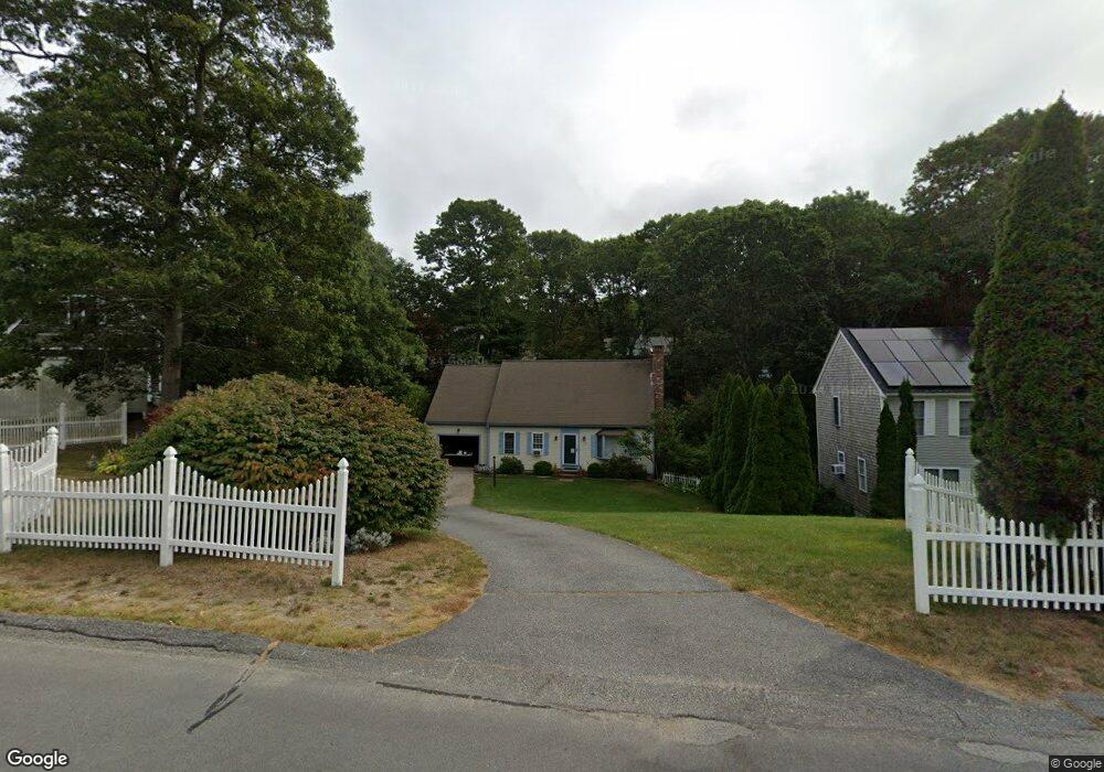
This home is located at 132 James Cir, Mashpee, MA 02649 and is currently estimated at $620,192, approximately $400 per square foot. 132 James Cir is a home located in Barnstable County with nearby schools including Kenneth C. Coombs School, Quashnet School, and Mashpee Middle School.
Ownership History
We collect this data history from publicly available records. To have your information removed, we recommend requesting removal directly through your county’s website.
Purchase Details
Home Financials for this Owner
Home Financials are based on the most recent Mortgage that was taken out on this home.Purchase History
We collect this data history from publicly available records. To have your information removed, we recommend requesting removal directly through your county’s website.
| Date | Buyer | Sale Price | Title Company |
|---|---|---|---|
| $20,000 | -- | ||
| $15,000 | -- |
Mortgage History
We collect this data history from publicly available records. To have your information removed, we recommend requesting removal directly through your county’s website.
| Date | Status | Borrower | Loan Amount |
|---|---|---|---|
| Open | $96,000 | ||
| Closed | $97,600 |
Tax History
We collect this data history from publicly available records. To have your information removed, we recommend requesting removal directly through your county’s website.
| Year | Tax Paid | Tax Assessment Tax Assessment Total Assessment is a certain percentage of the fair market value that is determined by local assessors to be the total taxable value of land and additions on the property. | Land | Improvement |
|---|---|---|---|---|
| 2025 | $3,340 | $504,600 | $182,000 | $322,600 |
| 2024 | $2,944 | $457,900 | $147,100 | $310,800 |
| 2023 | $2,746 | $391,700 | $140,100 | $251,600 |
| 2022 | $2,611 | $319,600 | $113,900 | $205,700 |
| 2021 | $6,234 | $282,500 | $102,600 | $179,900 |
| 2020 | $6,495 | $274,000 | $98,600 | $175,400 |
| 2019 | $6,944 | $263,300 | $98,600 | $164,700 |
| 2018 | $2,260 | $253,400 | $98,600 | $154,800 |
| 2017 | $2,195 | $238,900 | $98,600 | $140,300 |
| 2016 | $2,131 | $230,600 | $98,600 | $132,000 |
| 2015 | $2,049 | $224,900 | $98,600 | $126,300 |
| 2014 | $1,969 | $209,700 | $83,700 | $126,000 |
Map
- 146 James Cir
- 166 James Cir
- 191 James Cir
- 46 Pond Cir
- 352 Currier Rd
- 26 Wheeler Rd
- 163 Ninigret Ave
- 92 Rainbow Ave
- 744 Old Barnstable Rd
- 110 Wheeler Rd
- 28 Ashton Ave
- 118 Grey Hawk Dr Unit 118
- 266 Algonquin Ave
- 142 Leisure Green Dr N Unit 142
- 142 Leisure Green Dr S Unit 142
- 7 Masters Ct Unit 464
- 7 Masters Ct
- 68 Leisure Green Dr Unit 68
- 223 Plum Hollow Rd
- 185 Wheeler Rd
Ask me questions while you tour the home.