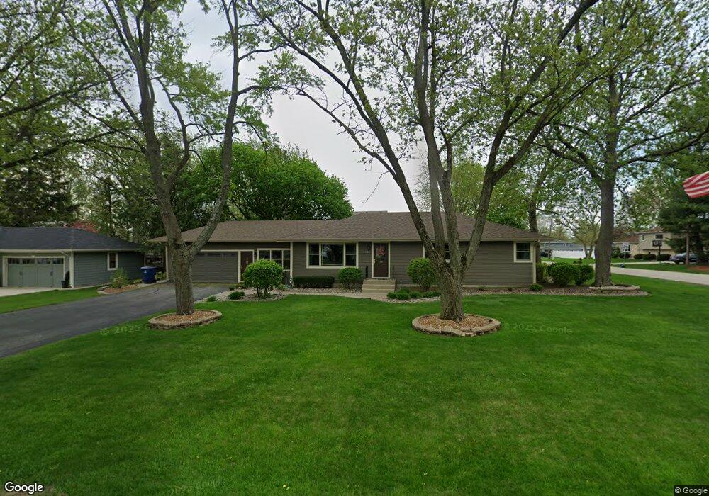
132 Maple Ln New Lenox, IL 60451
Estimated Value: $280,050 - $388,000
Studio
--
Bath
--
Sq Ft
11,761
Sq Ft Lot
About This Home
This home is located at 132 Maple Ln, New Lenox, IL 60451 and is currently estimated at $334,763. 132 Maple Ln is a home located in Will County with nearby schools including Oster-Oakview School, Haines Elementary School, and Lincoln Way West.
Ownership History
Date
Name
Owned For
Owner Type
Purchase Details
Closed on
Dec 9, 1998
Sold by
Buell Thomas H
Bought by
Buell Thomas H and Buell Michelle I
Current Estimated Value
Home Financials for this Owner
Home Financials are based on the most recent Mortgage that was taken out on this home.
Original Mortgage
$118,000
Outstanding Balance
$26,157
Interest Rate
6.5%
Estimated Equity
$308,606
Purchase Details
Closed on
Oct 24, 1995
Sold by
Standard Bank & Trust Company
Bought by
Buell Thomas H
Home Financials for this Owner
Home Financials are based on the most recent Mortgage that was taken out on this home.
Original Mortgage
$123,658
Interest Rate
7.61%
Mortgage Type
FHA
Create a Home Valuation Report for This Property
The Home Valuation Report is an in-depth analysis detailing your home's value as well as a comparison with similar homes in the area
Home Values in the Area
Average Home Value in this Area
Purchase History
| Date | Buyer | Sale Price | Title Company |
|---|---|---|---|
| Buell Thomas H | -- | -- | |
| Buell Thomas H | $125,000 | Chicago Title Insurance Co |
Source: Public Records
Mortgage History
| Date | Status | Borrower | Loan Amount |
|---|---|---|---|
| Open | Buell Thomas H | $118,000 | |
| Closed | Buell Thomas H | $123,658 |
Source: Public Records
Tax History
| Year | Tax Paid | Tax Assessment Tax Assessment Total Assessment is a certain percentage of the fair market value that is determined by local assessors to be the total taxable value of land and additions on the property. | Land | Improvement |
|---|---|---|---|---|
| 2024 | $6,751 | $91,186 | $27,153 | $64,033 |
| 2023 | $6,751 | $83,123 | $24,752 | $58,371 |
| 2022 | $6,107 | $76,575 | $22,802 | $53,773 |
| 2021 | $5,786 | $72,017 | $21,445 | $50,572 |
| 2020 | $5,614 | $69,448 | $20,680 | $48,768 |
| 2019 | $5,368 | $67,295 | $20,039 | $47,256 |
| 2018 | $5,237 | $64,975 | $19,348 | $45,627 |
| 2017 | $4,970 | $63,107 | $18,792 | $44,315 |
| 2016 | $4,820 | $61,418 | $18,289 | $43,129 |
| 2015 | $4,658 | $59,484 | $17,713 | $41,771 |
| 2014 | $4,658 | $58,749 | $17,494 | $41,255 |
| 2013 | $4,658 | $59,541 | $17,730 | $41,811 |
Source: Public Records
Map
Nearby Homes
- 1111 N Cedar Rd
- 209 Linden Oaks Ln
- Lot 207 N Cedar Rd
- 225 E Francis Rd
- 338 Willow St
- 326 Old Hickory Rd
- 111 Oak St
- 380 N Cedar Rd
- 211 Manor Dr Unit 1
- 213 Manor Dr Unit 2
- 1301 Silver Cross Blvd
- 404 Livingston Dr
- Vacant W Maple St
- 625 Crescenzo Ct Unit B
- 328 E Lincoln Hwy
- 830 Wagon Dr
- 0 N Cedar Rd
- 1605 S Regan Rd
- 1500 Ramp
- 146 S Cooper Rd
Your Personal Tour Guide
Ask me questions while you tour the home.