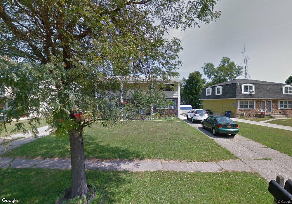
132 Pheasant Run Rd Buffalo, NY 14228
North Amherst NeighborhoodEstimated Value: $359,113 - $398,000
6
Beds
3
Baths
2,520
Sq Ft
$148/Sq Ft
Est. Value
About This Home
This home is located at 132 Pheasant Run Rd, Buffalo, NY 14228 and is currently estimated at $372,778, approximately $147 per square foot. 132 Pheasant Run Rd is a home located in Erie County with nearby schools including Sweet Home Middle School, Sweet Home Senior High School, and Jewish Heritage Day School.
Ownership History
Date
Name
Owned For
Owner Type
Purchase Details
Closed on
Jul 25, 2006
Sold by
Rehman Atiq
Bought by
Mahmood Abida K and Niazi Bushra S
Current Estimated Value
Home Financials for this Owner
Home Financials are based on the most recent Mortgage that was taken out on this home.
Original Mortgage
$114,098
Outstanding Balance
$67,924
Interest Rate
6.7%
Mortgage Type
FHA
Estimated Equity
$304,854
Purchase Details
Closed on
Aug 7, 2000
Sold by
Hanley William P
Bought by
Bratton George B
Create a Home Valuation Report for This Property
The Home Valuation Report is an in-depth analysis detailing your home's value as well as a comparison with similar homes in the area
Home Values in the Area
Average Home Value in this Area
Purchase History
| Date | Buyer | Sale Price | Title Company |
|---|---|---|---|
| Mahmood Abida K | $115,000 | Ticor Title Insurance Co | |
| Bratton George B | $125,660 | -- |
Source: Public Records
Mortgage History
| Date | Status | Borrower | Loan Amount |
|---|---|---|---|
| Open | Mahmood Abida K | $114,098 |
Source: Public Records
Tax History
| Year | Tax Paid | Tax Assessment Tax Assessment Total Assessment is a certain percentage of the fair market value that is determined by local assessors to be the total taxable value of land and additions on the property. | Land | Improvement |
|---|---|---|---|---|
| 2024 | $7,764 | $304,000 | $34,000 | $270,000 |
| 2023 | $6,813 | $160,000 | $29,300 | $130,700 |
| 2022 | $6,588 | $160,000 | $29,300 | $130,700 |
| 2021 | $6,382 | $160,000 | $29,300 | $130,700 |
| 2020 | $4,425 | $160,000 | $29,300 | $130,700 |
| 2019 | $4,454 | $160,000 | $29,300 | $130,700 |
| 2018 | $4,370 | $160,000 | $29,300 | $130,700 |
| 2017 | $2,454 | $160,000 | $29,300 | $130,700 |
| 2016 | $3,964 | $136,000 | $19,100 | $116,900 |
| 2015 | -- | $136,000 | $19,100 | $116,900 |
| 2014 | -- | $136,000 | $19,100 | $116,900 |
Source: Public Records
Map
Nearby Homes
- 88 Pheasant Run Rd
- 31 Azure Pine Ct
- 20 Pheasant Run Rd
- 171 Berehaven Dr
- 19 Sunset Ct
- 22 Aviano Way
- 92 Sunset Ct
- 116 Sunset Ct
- 77 Sundridge Dr
- 64 Fairgreen Dr
- 113 Winterbrook Dr
- 52 Fairgreen Dr
- 46 Fairgreen Dr
- 40 Fairgreen Dr
- 3881 E Robinson Rd
- 43 Larkspur Ln
- 125 E Summerset Ln
- 2611 Sweet Home Rd
- 3885 E Robinson Rd
- 3883 E Robinson Rd
- 124 Pheasant Run Rd
- 142 Pheasant Run Rd
- 118 Pheasant Run Rd
- 152 Pheasant Run Rd
- 117 Berehaven Dr
- 111 Berehaven Dr
- 105 Berehaven Dr
- 105 Berehaven Dr Unit Right
- 105 Berehaven Dr Unit L
- 112 Pheasant Run Rd
- 131 Pheasant Run Rd
- 162 Pheasant Run Rd
- 137 Pheasant Run Rd
- 143 Pheasant Run Rd
- 125 Pheasant Run Rd
- 99 Berehaven Dr
- 119 Pheasant Run Rd
- 106 Pheasant Run Rd
- 106 Pheasant Run Rd Unit Left
- 106 Pheasant Run Rd
Your Personal Tour Guide
Ask me questions while you tour the home.