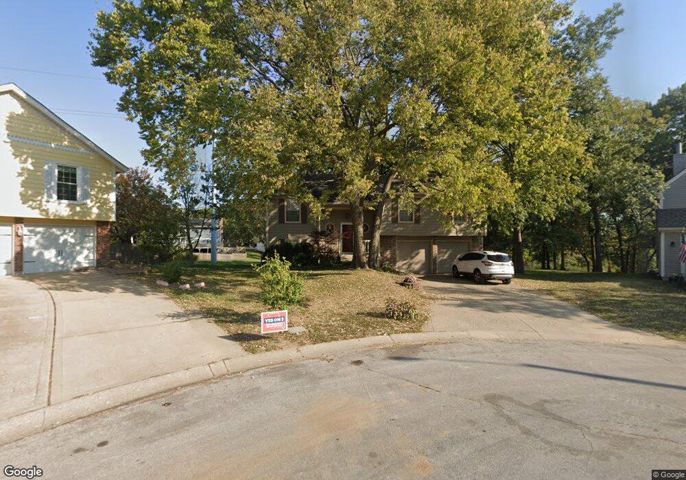
1321 NE Barnes Dr Lees Summit, MO 64086
Estimated Value: $314,076 - $327,000
3
Beds
3
Baths
1,316
Sq Ft
$245/Sq Ft
Est. Value
About This Home
This home is located at 1321 NE Barnes Dr, Lees Summit, MO 64086 and is currently estimated at $322,269, approximately $244 per square foot. 1321 NE Barnes Dr is a home located in Jackson County with nearby schools including Underwood Elementary School, Bernard C. Campbell Middle School, and Lee's Summit North High School.
Ownership History
Date
Name
Owned For
Owner Type
Purchase Details
Closed on
Jun 18, 2024
Sold by
Qualls Michael and Qualls Rebecca M
Bought by
Qualls Michael and Qualls Rebecca M
Current Estimated Value
Purchase Details
Closed on
Jun 14, 2002
Sold by
Carroll Gregory A and Carroll Ginger L
Bought by
Qualls Michael and Qualls Rebecca
Home Financials for this Owner
Home Financials are based on the most recent Mortgage that was taken out on this home.
Original Mortgage
$80,000
Interest Rate
6.77%
Mortgage Type
Purchase Money Mortgage
Create a Home Valuation Report for This Property
The Home Valuation Report is an in-depth analysis detailing your home's value as well as a comparison with similar homes in the area
Home Values in the Area
Average Home Value in this Area
Purchase History
| Date | Buyer | Sale Price | Title Company |
|---|---|---|---|
| Qualls Michael | -- | None Listed On Document | |
| Qualls Michael | -- | None Listed On Document | |
| Qualls Michael | -- | Old Republic Title Company |
Source: Public Records
Mortgage History
| Date | Status | Borrower | Loan Amount |
|---|---|---|---|
| Previous Owner | Qualls Michael | $80,000 |
Source: Public Records
Tax History Compared to Growth
Tax History
| Year | Tax Paid | Tax Assessment Tax Assessment Total Assessment is a certain percentage of the fair market value that is determined by local assessors to be the total taxable value of land and additions on the property. | Land | Improvement |
|---|---|---|---|---|
| 2025 | $3,405 | $43,470 | $7,216 | $36,254 |
| 2024 | $3,405 | $47,156 | $7,608 | $39,548 |
| 2023 | $3,380 | $47,156 | $6,040 | $41,116 |
| 2022 | $2,653 | $32,870 | $4,440 | $28,430 |
| 2021 | $2,708 | $32,870 | $4,440 | $28,430 |
| 2020 | $2,485 | $29,869 | $4,440 | $25,429 |
| 2019 | $2,418 | $29,869 | $4,440 | $25,429 |
| 2018 | $2,267 | $25,996 | $3,865 | $22,131 |
| 2017 | $2,267 | $25,996 | $3,865 | $22,131 |
| 2016 | $2,270 | $25,764 | $4,009 | $21,755 |
| 2014 | $2,083 | $23,169 | $3,996 | $19,173 |
Source: Public Records
Map
Nearby Homes
- 1121 NE Ridgeview Dr
- 1220 NE Hendrix Dr
- 1637 NE Westwind Dr
- 1408 NE Whitestone Dr
- 27008 E Olive Dr
- 27104 E Cedar Grove Dr
- 1424 NE Stonewood Dr
- 732 NE Deerbrook St
- 1425 NE Stonewood Dr
- 809 NE Mulberry St
- 808 NE Mulberry St
- 800 NE Mulberry St
- 653 NE Reed Crossing
- 1632 NE Stonewood Dr
- 717 NE Mulberry St
- 1345 NE Foxwood Dr
- 718 NE Mulberry St
- 1817 NE Burgandy Cir
- 1708 NE Balboa St
- 1300 NE Browning Ln
- 1320 NE Barnes Dr
- 1317 NE Barnes Dr
- 1316 NE Barnes Dr
- 1313 NE Barnes Dr
- 1312 NE Barnes Dr
- 1309 NE Barnes Dr
- 1308 NE Barnes Dr
- 1141 NE Hunters Ridge
- 1137 NE Hunters Ridge
- 1305 NE Barnes Dr
- 1333 NE Deer Valley Dr
- 1133 NE Hunters Ridge
- 1321 NE Ball Dr
- 1317 NE Ball Dr
- 1304 NE Barnes Dr
- 1313 NE Ball Dr
- 1129 NE Hunters Ridge
- 1309 NE Ball Dr
- 1118 NE Deerbrook Terrace