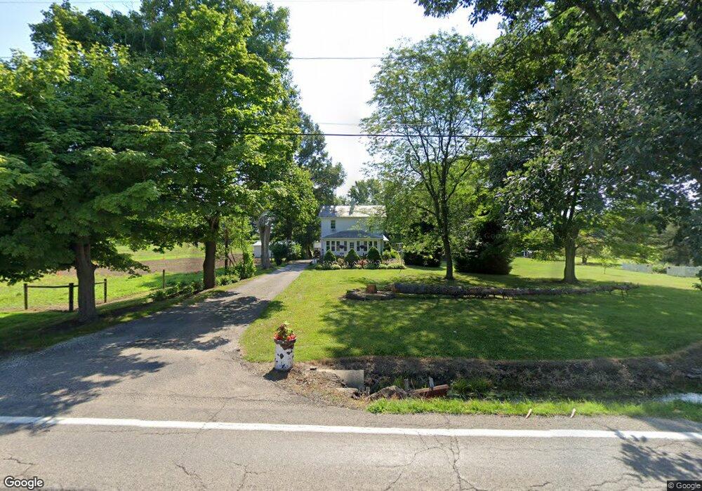
13211 Beloit Snodes Rd Beloit, OH 44609
Estimated Value: $175,000 - $213,000
3
Beds
2
Baths
1,414
Sq Ft
$136/Sq Ft
Est. Value
About This Home
This home is located at 13211 Beloit Snodes Rd, Beloit, OH 44609 and is currently estimated at $192,540, approximately $136 per square foot. 13211 Beloit Snodes Rd is a home located in Mahoning County with nearby schools including West Branch Middle School and West Branch High School.
Ownership History
Date
Name
Owned For
Owner Type
Purchase Details
Closed on
Oct 1, 2001
Sold by
Weizenecker Lucy E and Weizenecker Delora J
Bought by
Mercer Jacqueline L
Current Estimated Value
Home Financials for this Owner
Home Financials are based on the most recent Mortgage that was taken out on this home.
Original Mortgage
$72,500
Outstanding Balance
$26,951
Interest Rate
6.97%
Estimated Equity
$165,589
Purchase Details
Closed on
Jul 2, 1980
Bought by
Weizenecker Lucy E
Create a Home Valuation Report for This Property
The Home Valuation Report is an in-depth analysis detailing your home's value as well as a comparison with similar homes in the area
Purchase History
| Date | Buyer | Sale Price | Title Company |
|---|---|---|---|
| Mercer Jacqueline L | $75,000 | -- | |
| Weizenecker Lucy E | -- | -- |
Source: Public Records
Mortgage History
| Date | Status | Borrower | Loan Amount |
|---|---|---|---|
| Open | Mercer Jacqueline L | $72,500 |
Source: Public Records
Tax History
| Year | Tax Paid | Tax Assessment Tax Assessment Total Assessment is a certain percentage of the fair market value that is determined by local assessors to be the total taxable value of land and additions on the property. | Land | Improvement |
|---|---|---|---|---|
| 2025 | $2,104 | $48,310 | $7,030 | $41,280 |
| 2024 | $1,788 | $48,310 | $7,030 | $41,280 |
| 2023 | $1,717 | $48,310 | $7,030 | $41,280 |
| 2022 | $1,381 | $34,890 | $5,620 | $29,270 |
| 2021 | $1,382 | $34,890 | $5,620 | $29,270 |
| 2020 | $1,388 | $34,890 | $5,620 | $29,270 |
| 2019 | $1,257 | $30,020 | $5,620 | $24,400 |
| 2018 | $1,251 | $30,020 | $5,620 | $24,400 |
| 2017 | $1,248 | $30,020 | $5,620 | $24,400 |
| 2016 | $1,018 | $24,620 | $6,300 | $18,320 |
| 2015 | $988 | $24,620 | $6,300 | $18,320 |
| 2014 | $993 | $24,620 | $6,300 | $18,320 |
| 2013 | $982 | $24,620 | $6,300 | $18,320 |
Source: Public Records
Map
Nearby Homes
- 18262 W Pine Lake Rd
- 18280 5th St
- 18061 Derr Ave
- 11 Redwood St
- 17325 5th St
- 57 Redwood St
- 726 N 12th St
- 945 N 12th St
- 345 E Indiana Ave
- 1005 N 13th St
- 166 E Michigan Ave
- 157 E Ohio Ave
- 125 E Indiana Ave
- 0 W Nevada Ave Unit 5181868
- 430 Hillsdale St
- 423 S 14th St
- 175 W Ohio Ave
- 208 S 15th St
- 324 S 15th St
- 406 W Indiana Ave
- 13155 Beloit Snodes Rd
- 13327 Beloit Snodes Rd
- 13133 Beloit Snodes Rd
- 13341 N Main St
- 13340 N Main St
- 13290 Beloit Snodes Rd
- 13357 N Main St
- 13363 N Main St
- 13377 N Main St
- 13372 N Main St
- 13111 Beloit Snodes Rd
- 13384 N Main St
- 18093 Pine Lake Rd
- 13404 N Main St
- 13416 N Main St
- 13378 Church St
- 17750 7th St
- 13434 N Main St
- 13403 Barber Ave
- 13433 Church St
Your Personal Tour Guide
Ask me questions while you tour the home.