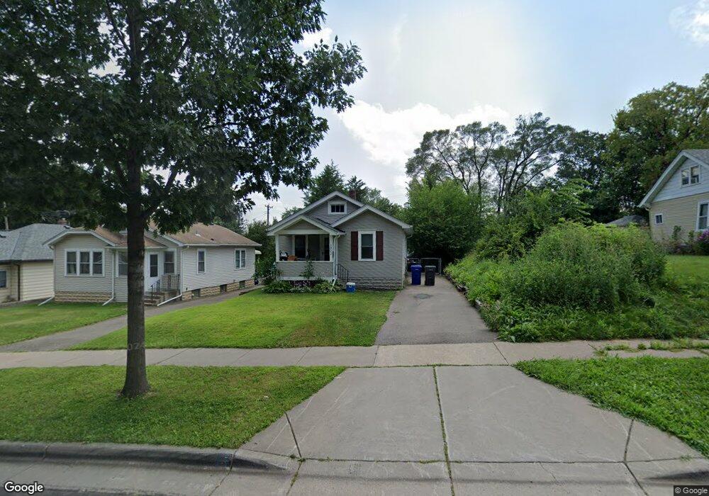
1322 Pacific St Saint Paul, MN 55106
Dayton's Bluff NeighborhoodEstimated Value: $176,000 - $222,000
2
Beds
1
Bath
620
Sq Ft
$319/Sq Ft
Est. Value
About This Home
This home is located at 1322 Pacific St, Saint Paul, MN 55106 and is currently estimated at $197,725, approximately $318 per square foot. 1322 Pacific St is a home located in Ramsey County with nearby schools including Highwood Hills Elementary School, Battle Creek Middle School, and Harding Senior High School.
Ownership History
Date
Name
Owned For
Owner Type
Purchase Details
Closed on
Oct 15, 2017
Sold by
Smith Thomas E
Bought by
T E Smith Properties Llc
Current Estimated Value
Purchase Details
Closed on
Feb 18, 2010
Sold by
Federal Home Loan Mortgage Corporation
Bought by
Smith Thomas E
Create a Home Valuation Report for This Property
The Home Valuation Report is an in-depth analysis detailing your home's value as well as a comparison with similar homes in the area
Home Values in the Area
Average Home Value in this Area
Purchase History
| Date | Buyer | Sale Price | Title Company |
|---|---|---|---|
| T E Smith Properties Llc | -- | None Available | |
| T E Smith Properties Llc | -- | None Available | |
| Smith Thomas E | $41,000 | -- |
Source: Public Records
Tax History Compared to Growth
Tax History
| Year | Tax Paid | Tax Assessment Tax Assessment Total Assessment is a certain percentage of the fair market value that is determined by local assessors to be the total taxable value of land and additions on the property. | Land | Improvement |
|---|---|---|---|---|
| 2025 | $3,290 | $154,200 | $22,700 | $131,500 |
| 2023 | $3,290 | $154,500 | $14,500 | $140,000 |
| 2022 | $2,206 | $158,200 | $14,500 | $143,700 |
| 2021 | $2,022 | $122,200 | $14,500 | $107,700 |
| 2020 | $1,886 | $114,400 | $14,500 | $99,900 |
| 2019 | $1,718 | $97,800 | $14,500 | $83,300 |
| 2018 | $1,372 | $86,000 | $14,500 | $71,500 |
| 2017 | $1,228 | $67,000 | $14,500 | $52,500 |
| 2016 | $1,224 | $0 | $0 | $0 |
| 2015 | $1,166 | $58,200 | $12,700 | $45,500 |
| 2014 | $1,128 | $0 | $0 | $0 |
Source: Public Records
Map
Nearby Homes
- 277 English St
- 1320 Wilson Ave
- 426 Griffith St
- 449 Birmingham St
- 1549 Old Hudson Rd
- 1526 Upper Afton Rd
- 1183 Hancock St
- 1323 4th St E
- 1063 Burns Ave
- 1574 Pacific St
- 1591 Old Hudson Rd
- 1237 5th St E
- 1207 5th St E
- 1613 Conway St
- 1631 Conway St
- 986 Euclid St
- 1122 6th St E
- 980 3rd St E
- 3 Kennard Ct
- 949 Conway St
- 1326 Pacific St
- 1314 Pacific St
- 1330 Pacific St
- 1319 Mclean Ave
- 1325 Mclean Ave
- 1306 1306 Pacific-Street-
- 1306 Pacific St
- 1315 Mclean Ave
- 1331 Mclean Ave
- 1325 Pacific St
- 1329 Pacific St
- 1329 1329 Pacific-Street-
- 323 Clarence St
- 319 Clarence St
- 319 319 Clarence-Street-
- 327 Clarence St
- 1309 Mclean Ave
- 1319 Pacific St
- 1302 1302 Pacific-Street-
- 1333 Pacific St