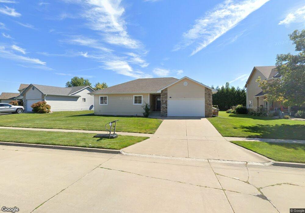
1325 Adams St SE Bondurant, IA 50035
Estimated Value: $318,000 - $329,000
3
Beds
2
Baths
1,503
Sq Ft
$215/Sq Ft
Est. Value
About This Home
This home is located at 1325 Adams St SE, Bondurant, IA 50035 and is currently estimated at $323,353, approximately $215 per square foot. 1325 Adams St SE is a home located in Polk County with nearby schools including Morris Elementary School, Anderson Elementary School, and Bondurant-Farrar Junior High.
Ownership History
Date
Name
Owned For
Owner Type
Purchase Details
Closed on
Sep 22, 2015
Sold by
Mosali Debbie
Bought by
Mosali Hari
Current Estimated Value
Purchase Details
Closed on
Dec 7, 2004
Sold by
Leto Sinn Homes Llc
Bought by
Mosali Hari K and Mosali Debbie L
Home Financials for this Owner
Home Financials are based on the most recent Mortgage that was taken out on this home.
Original Mortgage
$177,000
Outstanding Balance
$87,917
Interest Rate
5.71%
Mortgage Type
Purchase Money Mortgage
Estimated Equity
$235,436
Create a Home Valuation Report for This Property
The Home Valuation Report is an in-depth analysis detailing your home's value as well as a comparison with similar homes in the area
Home Values in the Area
Average Home Value in this Area
Purchase History
| Date | Buyer | Sale Price | Title Company |
|---|---|---|---|
| Mosali Hari | -- | Attorney | |
| Mosali Hari K | $176,500 | -- |
Source: Public Records
Mortgage History
| Date | Status | Borrower | Loan Amount |
|---|---|---|---|
| Open | Mosali Hari K | $177,000 |
Source: Public Records
Tax History Compared to Growth
Tax History
| Year | Tax Paid | Tax Assessment Tax Assessment Total Assessment is a certain percentage of the fair market value that is determined by local assessors to be the total taxable value of land and additions on the property. | Land | Improvement |
|---|---|---|---|---|
| 2025 | $4,654 | $295,700 | $62,000 | $233,700 |
| 2024 | $4,654 | $270,200 | $56,000 | $214,200 |
| 2023 | $4,574 | $270,200 | $56,000 | $214,200 |
| 2022 | $4,550 | $222,000 | $47,800 | $174,200 |
| 2021 | $4,746 | $222,000 | $47,800 | $174,200 |
| 2020 | $4,690 | $210,100 | $45,100 | $165,000 |
| 2019 | $4,702 | $210,100 | $45,100 | $165,000 |
| 2018 | $4,610 | $194,700 | $40,600 | $154,100 |
| 2017 | $4,232 | $194,700 | $40,600 | $154,100 |
| 2016 | $4,138 | $175,100 | $36,000 | $139,100 |
| 2015 | $4,138 | $175,100 | $36,000 | $139,100 |
| 2014 | $3,850 | $164,400 | $33,600 | $130,800 |
Source: Public Records
Map
Nearby Homes
- 1200 Joshua Dr SE
- 502 10th Ct SE
- Bellhaven Plan at Prairie Point View
- Hamilton Plan at Prairie Point View
- 901 Dee St SE
- 509 Fireside Dr NW
- 2737 13th St NE
- 800 Jefferson Ave SE
- 1110 Caitlin Dr SE
- 705 Jefferson Ave SE
- 1 NE 80th St
- 706 Pleasant St SE
- 411 2nd St SE
- 105 3rd St NE
- 420 Eva Point Dr SW
- 503 Lincoln St NE
- 00 2nd St NW
- 205 Mallard Pointe Dr NW
- 519 Alpha St NW
- 901 8th St NW
- 1401 Adams St SE
- 1321 Adams St SE
- 704 14th St SE
- 1403 Adams St SE
- 1310 Adams St SE
- 1308 Adams St SE
- 1400 Adams St SE
- 1402 Adams St SE
- 705 14th St SE
- 1404 Adams St SE
- 1317 Adams St SE
- 708 14th St SE
- 1301 Audrey St SE
- 1406 Adams St SE
- 1303 Audrey St SE
- 1305 Audrey St SE
- 1313 Adams St SE
- 1307 Audrey St SE
- 1309 Audrey St SE
- 1405 Adams St SE