1326 Perico Point Cir Bradenton, FL 34209
Northwest Bradenton NeighborhoodEstimated Value: $374,543 - $426,000
2
Beds
2
Baths
1,334
Sq Ft
$309/Sq Ft
Est. Value
About This Home
This home is located at 1326 Perico Point Cir, Bradenton, FL 34209 and is currently estimated at $411,636, approximately $308 per square foot. 1326 Perico Point Cir is a home located in Manatee County with nearby schools including Ida M. Stewart Elementary School, Martha B. King Middle School, and Manatee High School.
Ownership History
Date
Name
Owned For
Owner Type
Purchase Details
Closed on
Jul 24, 2025
Sold by
Bussey Rodney C and Bussey Helen A
Bought by
Rodney C Bussey And Helen A Bussey Joint Trus and Bussey
Current Estimated Value
Purchase Details
Closed on
Jun 15, 2011
Sold by
Iten Dieter
Bought by
Bussey Rodney C and Bussey Helen A
Home Financials for this Owner
Home Financials are based on the most recent Mortgage that was taken out on this home.
Original Mortgage
$109,960
Interest Rate
4.71%
Mortgage Type
New Conventional
Purchase Details
Closed on
Apr 27, 2010
Sold by
Arends Jill
Bought by
Iten Dieter
Purchase Details
Closed on
Mar 8, 1995
Sold by
Briggs Stuart C and Briggs Mavoureen B
Bought by
Briggs Mavoureen B
Purchase Details
Closed on
Dec 6, 1994
Sold by
Rookery Bay Assoc
Bought by
Jaeger Otto and Jaeger Carolyn
Create a Home Valuation Report for This Property
The Home Valuation Report is an in-depth analysis detailing your home's value as well as a comparison with similar homes in the area
Home Values in the Area
Average Home Value in this Area
Purchase History
| Date | Buyer | Sale Price | Title Company |
|---|---|---|---|
| Rodney C Bussey And Helen A Bussey Joint Trus | $100 | None Listed On Document | |
| Bussey Rodney C | $137,450 | Stewart Title Company | |
| Iten Dieter | -- | Attorney | |
| Briggs Mavoureen B | -- | -- | |
| Jaeger Otto | -- | -- |
Source: Public Records
Mortgage History
| Date | Status | Borrower | Loan Amount |
|---|---|---|---|
| Previous Owner | Bussey Rodney C | $109,960 |
Source: Public Records
Tax History Compared to Growth
Tax History
| Year | Tax Paid | Tax Assessment Tax Assessment Total Assessment is a certain percentage of the fair market value that is determined by local assessors to be the total taxable value of land and additions on the property. | Land | Improvement |
|---|---|---|---|---|
| 2025 | $4,237 | $278,731 | -- | -- |
| 2024 | $4,237 | $270,876 | -- | -- |
| 2023 | $4,179 | $262,986 | $0 | $0 |
| 2022 | $4,076 | $255,326 | $0 | $0 |
| 2021 | $3,898 | $247,889 | $115,000 | $132,889 |
| 2020 | $4,063 | $246,691 | $115,000 | $131,691 |
| 2019 | $4,037 | $243,467 | $115,000 | $128,467 |
| 2018 | $4,041 | $241,390 | $115,000 | $126,390 |
| 2017 | $4,360 | $246,678 | $0 | $0 |
| 2016 | $4,300 | $262,081 | $0 | $0 |
| 2015 | $3,294 | $187,270 | $0 | $0 |
| 2014 | $3,294 | $167,585 | $0 | $0 |
| 2013 | $2,976 | $145,530 | $24,900 | $120,630 |
Source: Public Records
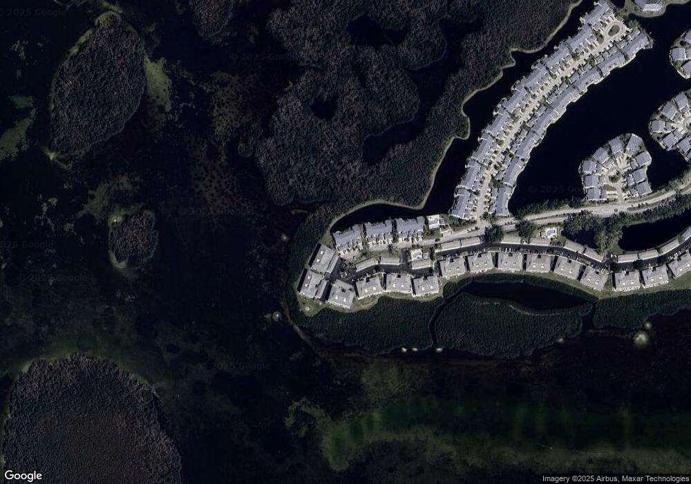
Map
Nearby Homes
- 1316 Perico Point Cir
- 1312 Perico Point Cir
- 1323 Perico Point Cir Unit 107
- 1343 Perico Point Cir Unit 117
- 1247 Spoonbill Landings Cir
- 1247 Edgewater Cir Unit 72
- 1235 Spoonbill Landings Cir
- 1225 Spoonbill Landings Cir
- 1216 Spoonbill Landings Cir
- 1211 Spoonbill Landings Cir
- 1153 Edgewater Cir
- 1109 Edgewater Cir Unit 1109
- 1103 Edgewater Cir Unit 2
- 983 Sandpiper Cir Unit 983
- 970 Sandpiper Cir Unit 970
- 972 Sandpiper Cir
- 967 Waterside Ln
- 912 Sandpiper Cir Unit 912
- 841 Audubon Dr Unit 841
- 1145 Edgewater Cir Unit 1145
- 1324 Perico Point Cir
- 1328 Perico Point Cir
- 1330 Perico Point Cir
- 1320 Perico Point Cir
- 1395 Perico Point Cir Unit 143
- 1391 Perico Point Cir Unit 141
- 1391 Perico Point Cir
- 1397 Perico Point Cir Unit 144
- 1318 Perico Point Cir Unit 1318
- 1318 Perico Point Cir
- 1393 Perico Point Cir Unit 142
- 1387 Perico Point Cir
- 1387 Perico Point Cir Unit 1387
- 1389 Perico Point Cir Unit 140
- 1389 Perico Point Cir Unit 1389
- 1314 Perico Point Cir
- 1383 Perico Point Cir Unit 137
- 1385 Perico Point Cir Unit 138
- 1347 Perico Point Cir Unit 119
- 1379 Perico Point Cir Unit Q135