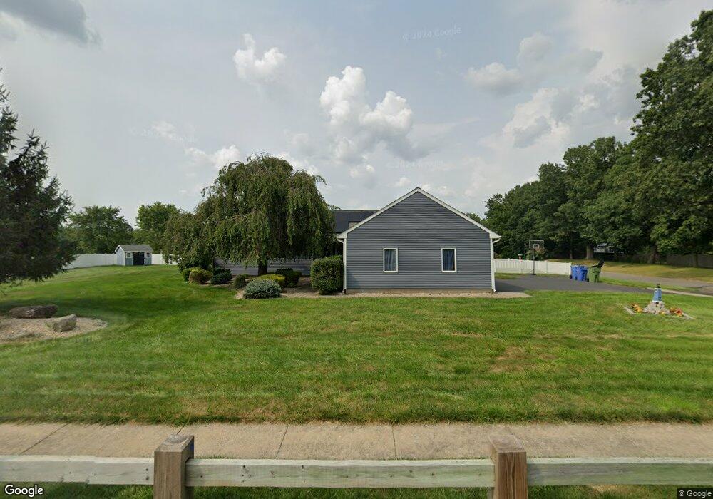
133 Coles Rd Cromwell, CT 06416
Estimated Value: $490,775 - $566,000
3
Beds
2
Baths
1,521
Sq Ft
$343/Sq Ft
Est. Value
About This Home
This home is located at 133 Coles Rd, Cromwell, CT 06416 and is currently estimated at $521,694, approximately $342 per square foot. 133 Coles Rd is a home located in Middlesex County with nearby schools including Edna C. Stevens School, Woodside Intermediate School, and Cromwell Middle School.
Ownership History
Date
Name
Owned For
Owner Type
Purchase Details
Closed on
Jan 18, 2018
Sold by
Allen William
Bought by
Oday Stephanie
Current Estimated Value
Purchase Details
Closed on
Oct 27, 2015
Sold by
Allen William and Allen Stephanie
Bought by
Allen William and Oday Stephanie
Home Financials for this Owner
Home Financials are based on the most recent Mortgage that was taken out on this home.
Original Mortgage
$211,350
Interest Rate
3.9%
Mortgage Type
New Conventional
Purchase Details
Closed on
Dec 3, 2009
Sold by
Hanratty Michael K and Hanratty Lisa C
Bought by
Allen Stephanie and Allen William
Purchase Details
Closed on
Jun 16, 2000
Sold by
Tine Joseph and Tine Jennifer A
Bought by
Hanratty Michael K and Hanratty Lisa C
Purchase Details
Closed on
Apr 11, 1991
Sold by
Anderson Susan B
Bought by
Tine Joseph and Jowdy Jenifer A
Create a Home Valuation Report for This Property
The Home Valuation Report is an in-depth analysis detailing your home's value as well as a comparison with similar homes in the area
Home Values in the Area
Average Home Value in this Area
Purchase History
| Date | Buyer | Sale Price | Title Company |
|---|---|---|---|
| Oday Stephanie | -- | -- | |
| Allen William | -- | -- | |
| Allen Stephanie | $305,500 | -- | |
| Hanratty Michael K | $225,000 | -- | |
| Oday Stephanie | -- | -- | |
| Allen William | -- | -- | |
| Allen Stephanie | $305,500 | -- | |
| Hanratty Michael K | $225,000 | -- | |
| Tine Joseph | $65,000 | -- |
Source: Public Records
Mortgage History
| Date | Status | Borrower | Loan Amount |
|---|---|---|---|
| Previous Owner | Tine Joseph | $211,350 |
Source: Public Records
Tax History Compared to Growth
Tax History
| Year | Tax Paid | Tax Assessment Tax Assessment Total Assessment is a certain percentage of the fair market value that is determined by local assessors to be the total taxable value of land and additions on the property. | Land | Improvement |
|---|---|---|---|---|
| 2025 | $8,274 | $268,730 | $75,390 | $193,340 |
| 2024 | $8,081 | $268,730 | $75,390 | $193,340 |
| 2023 | $7,903 | $268,730 | $75,390 | $193,340 |
| 2022 | $7,188 | $215,670 | $69,230 | $146,440 |
| 2021 | $7,188 | $215,670 | $69,230 | $146,440 |
| 2020 | $7,080 | $215,670 | $69,230 | $146,440 |
| 2019 | $7,080 | $215,670 | $69,230 | $146,440 |
| 2018 | $7,080 | $215,670 | $69,230 | $146,440 |
| 2017 | $6,691 | $197,190 | $75,470 | $121,720 |
| 2016 | $6,631 | $197,190 | $75,470 | $121,720 |
| 2015 | $7,900 | $251,760 | $75,470 | $176,290 |
| 2014 | $8,379 | $251,760 | $75,470 | $176,290 |
Source: Public Records
Map
Nearby Homes
- 124 Coles Rd
- 110 Coles Rd
- 12 Sydney Ln
- 148 Evergreen Rd
- 2 Gatesville Ln Unit 6
- 165 Woodland Dr Unit 165
- 188 Woodland Dr
- 96 Woodland Dr Unit 96
- 92 Woodland Dr Unit 92
- 34 Woodsboro Cir Unit 34
- 1 Hunters Run
- 1 Wooded Heights Dr
- 31 Valley Run Dr Unit 31
- 23 Margo Ct Unit 23
- 27 Chestnut Ct Unit 27
- 49 Woodbridge Ln
- 5 Chestnut Ct Unit 5
- 37 Coles Rd
- 30 Glenview Dr Unit 30
- 7 Willow Ct Unit 7