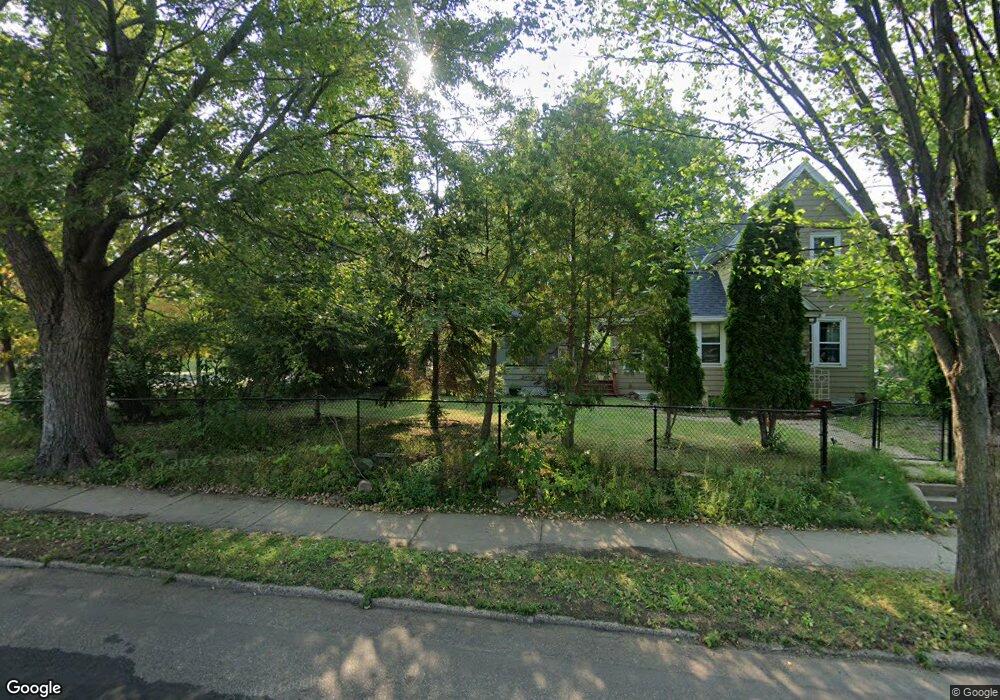
1333 1333 Dale St N St. Paul, MN 55117
Como Park NeighborhoodEstimated Value: $346,000 - $424,000
3
Beds
2
Baths
1,148
Sq Ft
$328/Sq Ft
Est. Value
About This Home
This home is located at 1333 1333 Dale St N, St. Paul, MN 55117 and is currently estimated at $376,353, approximately $327 per square foot. 1333 1333 Dale St N is a home located in Ramsey County with nearby schools including Como Park Elementary School, Murray Middle School, and Como Park Senior High School.
Ownership History
Date
Name
Owned For
Owner Type
Purchase Details
Closed on
Dec 18, 2024
Sold by
Halpin Katie R and Halpin Casey L
Bought by
Halpin Living Trust and Halpin
Current Estimated Value
Purchase Details
Closed on
Apr 30, 2014
Sold by
Nice Homes Llc
Bought by
Halpin Katie R
Home Financials for this Owner
Home Financials are based on the most recent Mortgage that was taken out on this home.
Original Mortgage
$135,100
Interest Rate
4.41%
Mortgage Type
New Conventional
Purchase Details
Closed on
Mar 8, 2013
Sold by
Ms Relocation Services Incorporated
Bought by
Nice Homes Llc
Purchase Details
Closed on
Dec 31, 2012
Sold by
Mcnamara Shana M and Staack Peter J
Bought by
Ms Relocation Services Incorporated
Create a Home Valuation Report for This Property
The Home Valuation Report is an in-depth analysis detailing your home's value as well as a comparison with similar homes in the area
Home Values in the Area
Average Home Value in this Area
Purchase History
| Date | Buyer | Sale Price | Title Company |
|---|---|---|---|
| Halpin Living Trust | $500 | None Listed On Document | |
| Halpin Living Trust | $500 | None Listed On Document | |
| Halpin Katie R | $174,018 | Minnesota Abstract & Title | |
| Nice Homes Llc | $95,000 | Minnesota Abstract & Title C | |
| Ms Relocation Services Incorporated | $71,500 | Land Title Inc |
Source: Public Records
Mortgage History
| Date | Status | Borrower | Loan Amount |
|---|---|---|---|
| Previous Owner | Halpin Katie R | $135,100 |
Source: Public Records
Tax History Compared to Growth
Tax History
| Year | Tax Paid | Tax Assessment Tax Assessment Total Assessment is a certain percentage of the fair market value that is determined by local assessors to be the total taxable value of land and additions on the property. | Land | Improvement |
|---|---|---|---|---|
| 2025 | $5,944 | $375,400 | $51,000 | $324,400 |
| 2023 | $5,944 | $321,500 | $51,000 | $270,500 |
| 2022 | $5,546 | $322,900 | $51,000 | $271,900 |
| 2021 | $5,100 | $272,400 | $51,000 | $221,400 |
| 2020 | $4,982 | $264,400 | $51,000 | $213,400 |
| 2019 | $4,592 | $240,400 | $46,800 | $193,600 |
| 2018 | $4,554 | $216,800 | $46,800 | $170,000 |
| 2017 | $3,162 | $220,700 | $59,300 | $161,400 |
| 2016 | $3,148 | $0 | $0 | $0 |
| 2015 | $2,844 | $187,000 | $59,300 | $127,700 |
| 2014 | $2,812 | $0 | $0 | $0 |
Source: Public Records
Map
Nearby Homes
- 1342 Dale St N
- 1241 Maywood St
- 1464 Maywood St
- tbd MacKubin St
- 766 Maryland Ave W
- 1539 Dale St N
- 1165 Norton St
- 1457 Arundel St
- 1176 Norton St
- 1175 Arundel St
- 1222 Como Blvd E
- 1005 Como Blvd E
- 397 Cottage Ave W Unit 3
- 408 Arlington Ave W
- 1104 MacKubin St
- 1063 Dale St N
- 1049 Kent St
- 705 Como Ave
- 740 Como Ave
- 373 Nebraska Ave W
- 1333 Dale St N
- 625 Wheelock Pkwy W
- 625 Wheelock Pkwy W
- 1341 Dale St N
- 645 Wheelock Pkwy W
- 1343 Dale St N
- 1343 1343 Dale St N
- 1336 Maywood St
- 1347 Dale St N
- 1347 1347 Dale-Street-n
- 1342 Maywood St
- 1328 Dale St N
- 1330 Dale St N
- 1315 Dale St N
- 1349 Dale St N
- 1338 Dale St N
- 1348 1348 Dale-Street-n
- 1348 1348 N Dale-Street-
- 1348 Maywood St
- 1342 1342 Dale St N