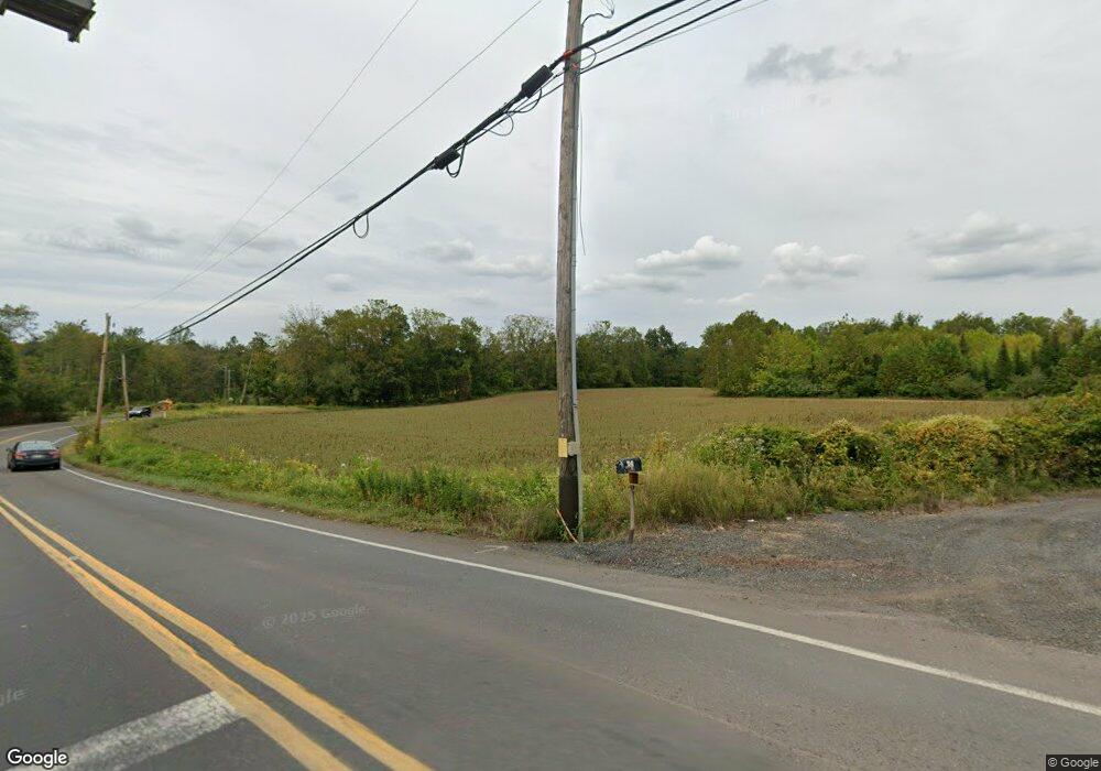
1333 Almshouse Rd Warminster, PA 18974
Estimated Value: $402,000 - $743,726
3
Beds
3
Baths
1,925
Sq Ft
$293/Sq Ft
Est. Value
About This Home
This home is located at 1333 Almshouse Rd, Warminster, PA 18974 and is currently estimated at $564,932, approximately $293 per square foot. 1333 Almshouse Rd is a home located in Bucks County with nearby schools including Maureen M. Welch Elementary School, Richboro Middle School, and Council Rock High School - South.
Ownership History
Date
Name
Owned For
Owner Type
Purchase Details
Closed on
Dec 8, 1998
Sold by
Stratton David R and Stratton Carol A
Bought by
Stratton Carol A
Current Estimated Value
Purchase Details
Closed on
Mar 26, 1998
Sold by
Morrison Louise C and Comly Newton
Bought by
Schuman Robert and Schuman Cathleen
Purchase Details
Closed on
Feb 17, 1998
Sold by
Depalantino Thomas
Bought by
Depalantino Thomas and Depalantino Beverly Jean
Purchase Details
Closed on
Sep 30, 1996
Sold by
Poorman George E and Poorman Mariana Wray
Bought by
Gilchrist Newton R and Doak Allen G
Purchase Details
Closed on
Nov 17, 1995
Sold by
Morrison Louise C
Bought by
Stratton David R and Stratton Carol A
Purchase Details
Closed on
Feb 21, 1955
Bought by
Poorman Geo E and Poorman Mariana W
Create a Home Valuation Report for This Property
The Home Valuation Report is an in-depth analysis detailing your home's value as well as a comparison with similar homes in the area
Home Values in the Area
Average Home Value in this Area
Purchase History
| Date | Buyer | Sale Price | Title Company |
|---|---|---|---|
| Stratton Carol A | -- | -- | |
| Schuman Robert | $150,000 | -- | |
| Depalantino Thomas | -- | -- | |
| Gilchrist Newton R | $210,000 | -- | |
| Stratton David R | $90,000 | -- | |
| Poorman Geo E | -- | -- |
Source: Public Records
Tax History Compared to Growth
Tax History
| Year | Tax Paid | Tax Assessment Tax Assessment Total Assessment is a certain percentage of the fair market value that is determined by local assessors to be the total taxable value of land and additions on the property. | Land | Improvement |
|---|---|---|---|---|
| 2025 | $6,934 | $36,000 | $11,840 | $24,160 |
| 2024 | $6,934 | $36,000 | $11,840 | $24,160 |
| 2023 | $6,535 | $36,000 | $11,840 | $24,160 |
| 2022 | $6,475 | $36,000 | $11,840 | $24,160 |
| 2021 | $6,270 | $36,000 | $11,840 | $24,160 |
| 2020 | $6,129 | $36,000 | $11,840 | $24,160 |
| 2019 | $5,867 | $36,000 | $11,840 | $24,160 |
| 2018 | $5,763 | $36,000 | $11,840 | $24,160 |
| 2017 | $5,540 | $36,000 | $11,840 | $24,160 |
| 2016 | $5,540 | $36,000 | $11,840 | $24,160 |
| 2015 | -- | $36,000 | $11,840 | $24,160 |
| 2014 | -- | $36,000 | $11,840 | $24,160 |
Source: Public Records
Map
Nearby Homes
- 1000 Old Jacksonville Rd
- 6 Breckenridge Dr
- 1390 Old Jacksonville Rd
- 1408 Old Jacksonville Rd
- 31 Aspen Dr
- 636 Almshouse Rd
- 2417 April Dr
- 934 Nathaniel Trail
- 223 Cecelia Acres Dr
- 3 Shady Pines Dr
- 23 Oxford Dr
- 8 Lacey Ln
- 9 Spring Mill Dr
- 11 Spring Mill Dr
- 18 Lacey Ln
- 10 Spring Mill Dr
- 1017 Conway Ct
- 146 Grandview Dr
- The Addis Plan at The Reserve at Spring Mill
- The Beckett Plan at The Reserve at Spring Mill
- 29 Neshaminy Dr
- 37 Neshaminy Dr
- 45 Neshaminy Dr
- 21 Neshaminy Dr
- 55 Neshaminy Dr
- 13 Neshaminy Dr
- 38 Neshaminy Dr
- 30 Neshaminy Dr
- 46 Neshaminy Dr
- 18 Neshaminy Dr
- 9 Neshaminy Dr
- 77 Macfarland Ave
- 60 Macfarland Ave
- 41 Macfarland Ave
- 1261 Almshouse Rd
- 48 Macfarland Ave
- 31 Macfarland Ave
- 78 Macfarland Ave
- 1309 Almshouse Rd
- 31 Homestead Dr
