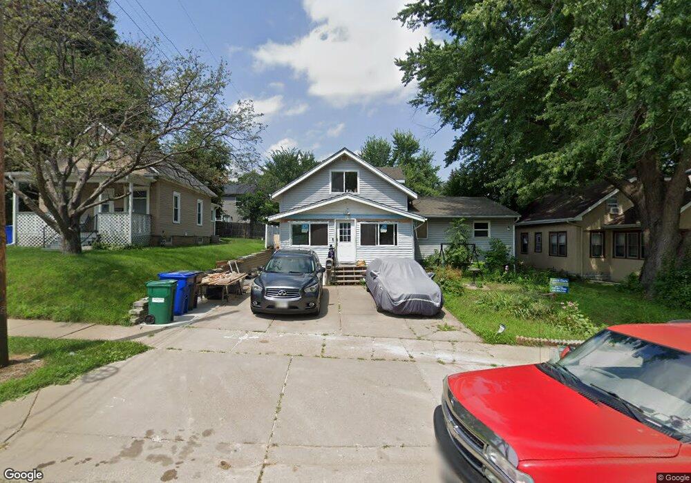
1337 Pacific St Saint Paul, MN 55106
Dayton's Bluff NeighborhoodEstimated Value: $247,561 - $311,000
3
Beds
3
Baths
1,321
Sq Ft
$212/Sq Ft
Est. Value
About This Home
This home is located at 1337 Pacific St, Saint Paul, MN 55106 and is currently estimated at $279,640, approximately $211 per square foot. 1337 Pacific St is a home located in Ramsey County with nearby schools including Highwood Hills Elementary School, Battle Creek Middle School, and Harding Senior High School.
Ownership History
Date
Name
Owned For
Owner Type
Purchase Details
Closed on
Oct 8, 2021
Sold by
Miller Russell J and Miller Shari M
Bought by
G R T S Properties Llc
Current Estimated Value
Home Financials for this Owner
Home Financials are based on the most recent Mortgage that was taken out on this home.
Original Mortgage
$227,400
Outstanding Balance
$207,368
Interest Rate
2.8%
Mortgage Type
Land Contract Argmt. Of Sale
Estimated Equity
$72,272
Create a Home Valuation Report for This Property
The Home Valuation Report is an in-depth analysis detailing your home's value as well as a comparison with similar homes in the area
Home Values in the Area
Average Home Value in this Area
Purchase History
| Date | Buyer | Sale Price | Title Company |
|---|---|---|---|
| G R T S Properties Llc | $282,400 | None Available |
Source: Public Records
Mortgage History
| Date | Status | Borrower | Loan Amount |
|---|---|---|---|
| Open | G R T S Properties Llc | $227,400 |
Source: Public Records
Tax History Compared to Growth
Tax History
| Year | Tax Paid | Tax Assessment Tax Assessment Total Assessment is a certain percentage of the fair market value that is determined by local assessors to be the total taxable value of land and additions on the property. | Land | Improvement |
|---|---|---|---|---|
| 2025 | $3,600 | $241,900 | $29,900 | $212,000 |
| 2023 | $3,600 | $227,700 | $19,100 | $208,600 |
| 2022 | $3,140 | $218,400 | $19,100 | $199,300 |
| 2021 | $2,272 | $186,800 | $19,100 | $167,700 |
| 2020 | $2,494 | $139,100 | $19,100 | $120,000 |
| 2019 | $2,342 | $146,400 | $19,100 | $127,300 |
| 2018 | $1,982 | $135,600 | $19,100 | $116,500 |
| 2017 | $1,892 | $120,200 | $19,100 | $101,100 |
| 2016 | $1,202 | $0 | $0 | $0 |
| 2015 | $1,378 | $62,100 | $16,700 | $45,400 |
| 2014 | $1,438 | $0 | $0 | $0 |
Source: Public Records
Map
Nearby Homes
- 277 English St
- 1320 Wilson Ave
- 449 Birmingham St
- 426 Griffith St
- 1549 Old Hudson Rd
- 1526 Upper Afton Rd
- 1323 4th St E
- 1183 Hancock St
- 1574 Pacific St
- 1591 Old Hudson Rd
- 1063 Burns Ave
- 1237 5th St E
- 1207 5th St E
- 1613 Conway St
- 1631 Conway St
- 1122 6th St E
- 986 Euclid St
- 1367 Minnehaha Ave E
- 980 3rd St E
- 3 Kennard Ct
- 1343 Pacific St
- 1333 Pacific St
- 1332 Hudson Rd
- 347 Clarence St
- 1329 1329 Pacific-Street-
- 1329 Pacific St
- 1328 Hudson Rd
- 327 Clarence St
- 1325 Pacific St
- 1347 Pacific St
- 323 Clarence St
- 1330 Pacific St
- 1319 Pacific St
- 1353 Pacific St
- 319 Clarence St
- 319 319 Clarence-Street-
- 1326 Pacific St
- 1322 Pacific St
- 330 Clarence St
- 1359 Pacific St