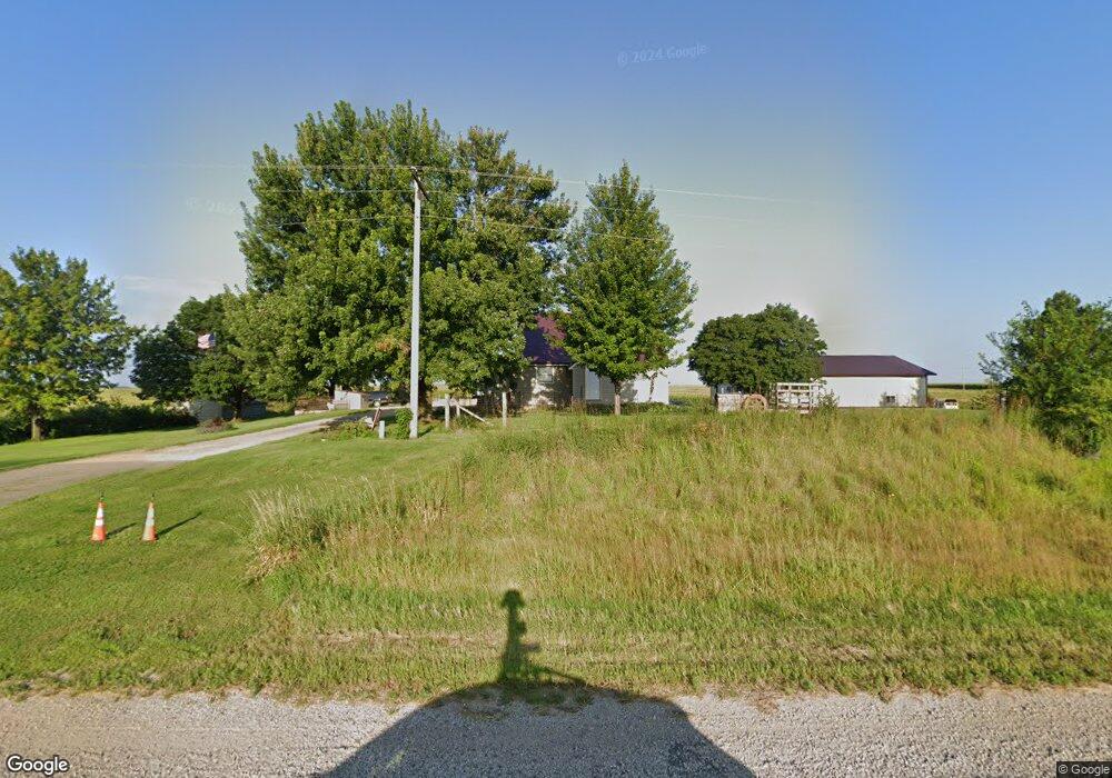
13384 State Highway 22 Mapleton, MN 56065
Estimated Value: $258,000 - $312,000
3
Beds
1
Bath
1,000
Sq Ft
$284/Sq Ft
Est. Value
About This Home
This home is located at 13384 State Highway 22, Mapleton, MN 56065 and is currently estimated at $284,046, approximately $284 per square foot. 13384 State Highway 22 is a home located in Blue Earth County with nearby schools including Maple River Secondary School.
Ownership History
Date
Name
Owned For
Owner Type
Purchase Details
Closed on
Jul 19, 2013
Sold by
Nienow Robert C and Ignaszewski Janice K
Bought by
Wede James C and Wede Barbara J
Current Estimated Value
Home Financials for this Owner
Home Financials are based on the most recent Mortgage that was taken out on this home.
Original Mortgage
$115,000
Outstanding Balance
$87,308
Interest Rate
5%
Mortgage Type
New Conventional
Estimated Equity
$196,738
Create a Home Valuation Report for This Property
The Home Valuation Report is an in-depth analysis detailing your home's value as well as a comparison with similar homes in the area
Purchase History
| Date | Buyer | Sale Price | Title Company |
|---|---|---|---|
| Wede James C | $50,000 | -- |
Source: Public Records
Mortgage History
| Date | Status | Borrower | Loan Amount |
|---|---|---|---|
| Open | Wede James C | $115,000 |
Source: Public Records
Tax History
| Year | Tax Paid | Tax Assessment Tax Assessment Total Assessment is a certain percentage of the fair market value that is determined by local assessors to be the total taxable value of land and additions on the property. | Land | Improvement |
|---|---|---|---|---|
| 2025 | $2,030 | $283,600 | $64,600 | $219,000 |
| 2024 | $2,030 | $260,000 | $64,600 | $195,400 |
| 2023 | $2,192 | $274,200 | $64,600 | $209,600 |
| 2022 | $2,052 | $244,200 | $64,600 | $179,600 |
| 2021 | $1,962 | $206,800 | $65,300 | $141,500 |
| 2020 | $1,388 | $195,600 | $54,400 | $141,200 |
| 2019 | $1,356 | $195,600 | $54,400 | $141,200 |
| 2018 | $1,288 | $184,200 | $54,400 | $129,800 |
| 2017 | $1,296 | $177,000 | $54,400 | $122,600 |
| 2016 | $1,202 | $172,500 | $54,400 | $118,100 |
| 2015 | $11 | $161,700 | $54,400 | $107,300 |
| 2014 | $3,626 | $162,500 | $54,400 | $108,100 |
Source: Public Records
Map
Nearby Homes
- 13357 13357 Hwy #22 Unit Home Parcel Only - 1
- 13357 State Highway 22
- 13357 Minnesota 22 Unit 2-Parcel Sale (Total
- 13357 Minnesota 22 Unit Home Parcel Only - 1
- 13436 State Highway 22
- 13427 State Highway 22
- TBD Lot 1 Blk 1 Wille Meadows
- 13215 State Highway 22
- 13218 State Highway 22
- 502 Central Ave N
- 104 Scott Ct NW
- 106 Scott Ct NW
- 108 Scott Ct NW
- 102 Scott Ct NW
- 110 Scott Ct NW
- 101 101 Scott Ct
- 101 Scott Ct NW
- 103 Scott Ct NW
- 105 Scott Ct NW
- 402 Central Ave N
Your Personal Tour Guide
Ask me questions while you tour the home.