1339 E Harris Rd Pea Ridge, AR 72751
Estimated Value: $413,000 - $618,513
--
Bed
2
Baths
2,083
Sq Ft
$247/Sq Ft
Est. Value
About This Home
This home is located at 1339 E Harris Rd, Pea Ridge, AR 72751 and is currently estimated at $513,878, approximately $246 per square foot. 1339 E Harris Rd is a home located in Benton County with nearby schools including Pea Ridge Intermediate School, Pea Ridge Primary School, and Pea Ridge Middle School.
Ownership History
Date
Name
Owned For
Owner Type
Purchase Details
Closed on
Apr 25, 2025
Sold by
Weaver Marvin L
Bought by
Weaver Gavin L and Weaver Vanessa D
Current Estimated Value
Purchase Details
Closed on
Nov 19, 1985
Bought by
Laird
Purchase Details
Closed on
Oct 11, 1979
Bought by
Miller
Create a Home Valuation Report for This Property
The Home Valuation Report is an in-depth analysis detailing your home's value as well as a comparison with similar homes in the area
Home Values in the Area
Average Home Value in this Area
Purchase History
| Date | Buyer | Sale Price | Title Company |
|---|---|---|---|
| Weaver Gavin L | -- | None Listed On Document | |
| Laird | $65,000 | -- | |
| Trentham | -- | -- | |
| Henson Jim | -- | -- | |
| Easley John B | -- | -- | |
| Miller | $19,000 | -- |
Source: Public Records
Tax History Compared to Growth
Tax History
| Year | Tax Paid | Tax Assessment Tax Assessment Total Assessment is a certain percentage of the fair market value that is determined by local assessors to be the total taxable value of land and additions on the property. | Land | Improvement |
|---|---|---|---|---|
| 2025 | $3,864 | $113,406 | $55,680 | $57,726 |
| 2024 | $3,542 | $113,406 | $55,680 | $57,726 |
| 2023 | $3,220 | $62,650 | $17,630 | $45,020 |
| 2022 | $2,849 | $62,650 | $17,630 | $45,020 |
| 2021 | $2,849 | $62,650 | $17,630 | $45,020 |
| 2020 | $2,664 | $47,740 | $13,920 | $33,820 |
| 2019 | $2,664 | $47,740 | $13,920 | $33,820 |
| 2018 | $2,434 | $47,740 | $13,920 | $33,820 |
| 2017 | $0 | $47,740 | $13,920 | $33,820 |
| 2016 | $0 | $47,740 | $13,920 | $33,820 |
| 2015 | $1,872 | $36,070 | $8,350 | $27,720 |
| 2014 | $1,865 | $36,070 | $8,350 | $27,720 |
Source: Public Records
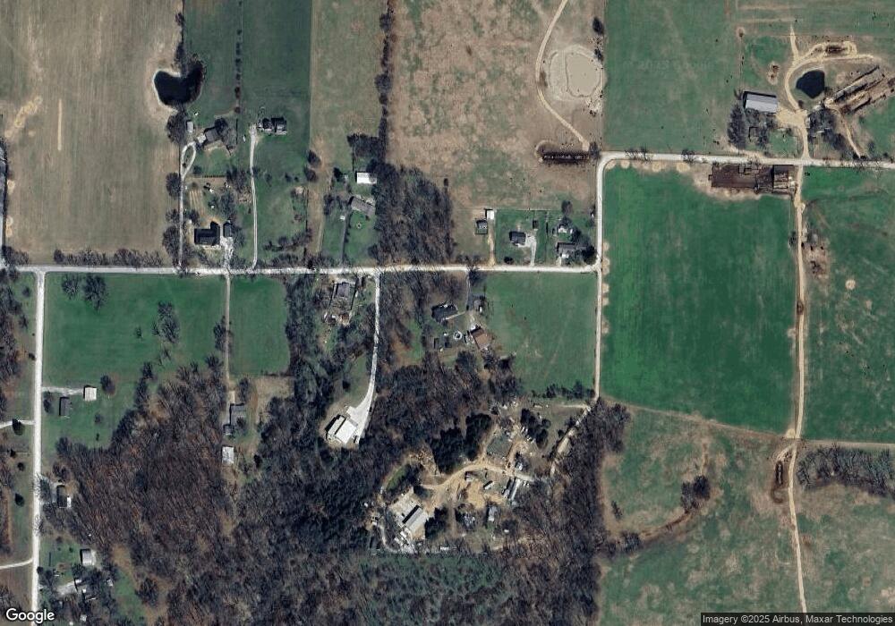
Map
Nearby Homes
- 1965 Collins Dr
- 1596 Winters St
- Lot 37 Hopkins Ln
- 738 Cardin Spur
- 1421 Lee St
- Lot 36 & 37 Hopkins Ln
- Lot 36 Hopkins Ln
- 1309 Joyce St
- 2170 Hopkins Ln
- 5AC Captain Miller Blvd
- 1417 Lee St
- 561 Oneida Cir
- 542 Oneida Cir
- 1172 Nemett Dr
- 560 Forrest Dr
- 0 Sugar Creek Rd
- 21.4 AC Sugar Creek Rd
- 21 AC Sugar Creek Rd
- 1660 Conrad St
- 1272 Pace Ln
- 1340 E Harris Rd
- 1239 E Harris Rd
- 1364 E Harris Rd
- 1240 E Harris Rd
- 1386 E Harris Rd
- 1245 E Harris Rd
- 1395 E Harris Rd
- 1100 E Harris Rd
- 1055 E Harris Rd
- 1056 E Harris Rd
- 0 E Harris Rd Unit 739131
- 1052 E Harris Rd
- 12626 E Harris Rd
- 1408 Bloxham Rd
- TBD E Harris Rd
- 1383 Bloxham Rd
- 1650 Bloxham Rd
- 843 E Harris St
- 1475 Bloxham Rd
- 1768 Bloxham Rd