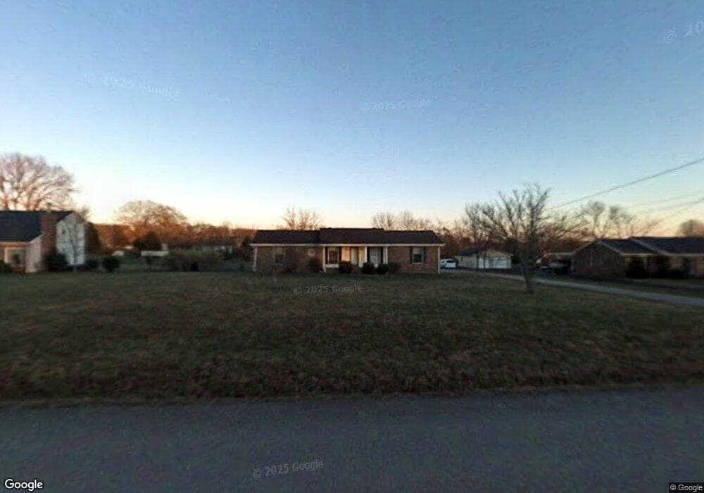
134 Bland Dr Mount Juliet, TN 37122
Estimated Value: $334,000 - $407,000
--
Bed
2
Baths
1,225
Sq Ft
$302/Sq Ft
Est. Value
About This Home
This home is located at 134 Bland Dr, Mount Juliet, TN 37122 and is currently estimated at $369,710, approximately $301 per square foot. 134 Bland Dr is a home located in Wilson County with nearby schools including Gladeville Elementary School, Gladeville Middle School, and Wilson Central High School.
Ownership History
Date
Name
Owned For
Owner Type
Purchase Details
Closed on
Feb 25, 2002
Sold by
Tabers William B and Tabers Nina E
Bought by
Robinson Paul M
Current Estimated Value
Home Financials for this Owner
Home Financials are based on the most recent Mortgage that was taken out on this home.
Original Mortgage
$126,022
Outstanding Balance
$52,235
Interest Rate
6.95%
Estimated Equity
$317,475
Purchase Details
Closed on
Feb 15, 2000
Sold by
Tabers William B
Bought by
Tabers Nina E
Purchase Details
Closed on
Jun 30, 1997
Sold by
Canter Brent K
Bought by
Tabers William B
Purchase Details
Closed on
Feb 28, 1989
Bought by
Canter Brent K
Purchase Details
Closed on
Apr 15, 1987
Bought by
Redden M Wayne
Purchase Details
Closed on
Sep 3, 1986
Bought by
Williams Carl
Create a Home Valuation Report for This Property
The Home Valuation Report is an in-depth analysis detailing your home's value as well as a comparison with similar homes in the area
Home Values in the Area
Average Home Value in this Area
Purchase History
| Date | Buyer | Sale Price | Title Company |
|---|---|---|---|
| Robinson Paul M | $128,000 | -- | |
| Tabers Nina E | -- | -- | |
| Tabers William B | $106,000 | -- | |
| Canter Brent K | $73,500 | -- | |
| Redden M Wayne | $69,500 | -- | |
| Williams Carl | -- | -- |
Source: Public Records
Mortgage History
| Date | Status | Borrower | Loan Amount |
|---|---|---|---|
| Open | Williams Carl | $126,022 |
Source: Public Records
Tax History Compared to Growth
Tax History
| Year | Tax Paid | Tax Assessment Tax Assessment Total Assessment is a certain percentage of the fair market value that is determined by local assessors to be the total taxable value of land and additions on the property. | Land | Improvement |
|---|---|---|---|---|
| 2024 | $1,215 | $63,675 | $22,500 | $41,175 |
| 2022 | $1,215 | $63,675 | $22,500 | $41,175 |
| 2021 | $1,215 | $63,675 | $22,500 | $41,175 |
| 2020 | $1,010 | $63,675 | $22,500 | $41,175 |
| 2019 | $1,010 | $40,100 | $13,750 | $26,350 |
| 2018 | $1,010 | $40,100 | $13,750 | $26,350 |
| 2017 | $1,010 | $40,100 | $13,750 | $26,350 |
| 2016 | $1,010 | $40,100 | $13,750 | $26,350 |
| 2015 | $1,031 | $40,100 | $13,750 | $26,350 |
| 2014 | $881 | $34,294 | $0 | $0 |
Source: Public Records
Map
Nearby Homes
- 447 Sanders Ln
- 7736 Stewarts Ferry Pike
- 1525 Harkreader Rd
- 823 Tall Oak Trail
- 102 Stonefield Dr
- 685 Castle Rd
- 511 Oakvale Ln
- 411 Boulder Creek Ct
- 1964 Harkreader Rd
- 0 Central Pike Unit RTC3011631
- 2115 Harkreader Rd
- 535 Gladeville Rd
- 561 Oakvale Ln
- 5731 Stewarts Ferry Pike
- 574 Oakvale Ln
- 591 Oakvale Ln
- Reedy Plan at The Oaks
- Harding Plan at The Oaks
- Sinclair Plan at The Oaks
- 14170 Central Pike