134 Misty Ridge Trail Unit 5 Stockbridge, GA 30281
Estimated Value: $223,522 - $244,000
3
Beds
2
Baths
1,143
Sq Ft
$205/Sq Ft
Est. Value
About This Home
This home is located at 134 Misty Ridge Trail Unit 5, Stockbridge, GA 30281 and is currently estimated at $234,881, approximately $205 per square foot. 134 Misty Ridge Trail Unit 5 is a home located in Henry County with nearby schools including Stockbridge Elementary School, Smith-Barnes Elementary School, and Stockbridge Middle School.
Ownership History
Date
Name
Owned For
Owner Type
Purchase Details
Closed on
Jun 15, 2000
Sold by
Tim Jones Communiites Inc
Bought by
Givens Malinda
Current Estimated Value
Home Financials for this Owner
Home Financials are based on the most recent Mortgage that was taken out on this home.
Original Mortgage
$95,851
Outstanding Balance
$34,585
Interest Rate
8.55%
Mortgage Type
FHA
Estimated Equity
$200,296
Create a Home Valuation Report for This Property
The Home Valuation Report is an in-depth analysis detailing your home's value as well as a comparison with similar homes in the area
Home Values in the Area
Average Home Value in this Area
Purchase History
| Date | Buyer | Sale Price | Title Company |
|---|---|---|---|
| Givens Malinda | $95,900 | -- | |
| Tim Jones Communities Inc | $18,000 | -- |
Source: Public Records
Mortgage History
| Date | Status | Borrower | Loan Amount |
|---|---|---|---|
| Open | Tim Jones Communities Inc | $95,851 |
Source: Public Records
Tax History Compared to Growth
Tax History
| Year | Tax Paid | Tax Assessment Tax Assessment Total Assessment is a certain percentage of the fair market value that is determined by local assessors to be the total taxable value of land and additions on the property. | Land | Improvement |
|---|---|---|---|---|
| 2025 | $4,003 | $95,160 | $14,000 | $81,160 |
| 2024 | $4,003 | $90,160 | $14,000 | $76,160 |
| 2023 | $3,699 | $85,600 | $12,000 | $73,600 |
| 2022 | $2,944 | $70,920 | $8,000 | $62,920 |
| 2021 | $2,307 | $54,200 | $8,000 | $46,200 |
| 2020 | $2,194 | $51,240 | $8,000 | $43,240 |
| 2019 | $1,872 | $44,560 | $8,000 | $36,560 |
| 2018 | $1,705 | $40,200 | $8,000 | $32,200 |
| 2016 | $1,374 | $31,560 | $6,000 | $25,560 |
| 2015 | $1,285 | $28,360 | $6,000 | $22,360 |
| 2014 | $1,008 | $28,480 | $4,800 | $23,680 |
Source: Public Records
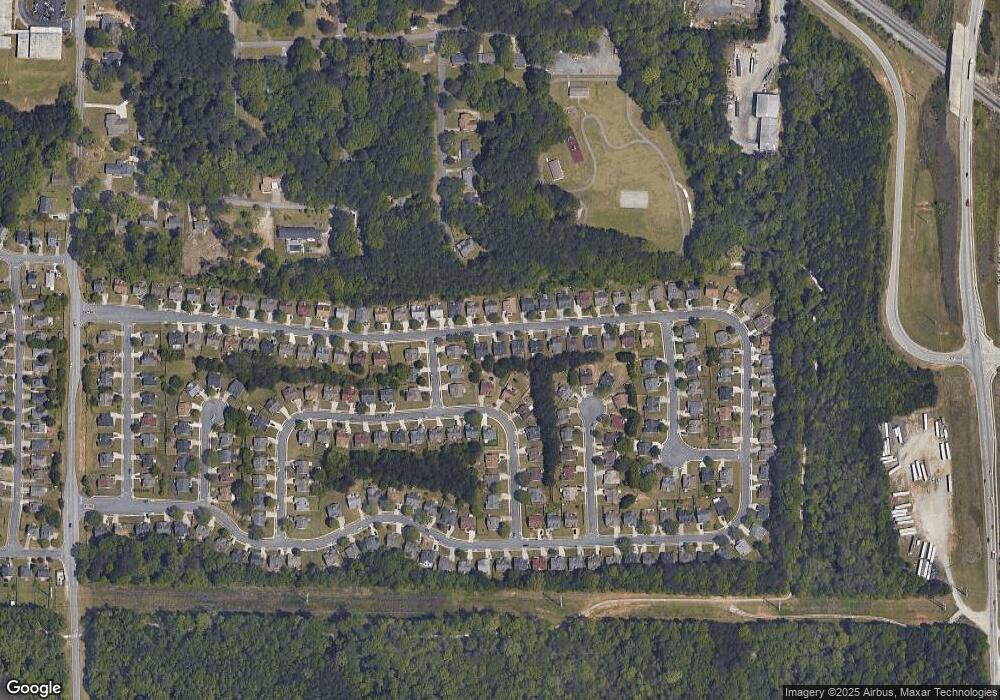
Map
Nearby Homes
- 169 Misty Ridge Trail
- 0 Tye St Unit 10634748
- 0 Tye St Unit 20124844
- 155 Tye St
- 44 Bay Cove Dr
- 32 Bay Cove Dr
- 614 Tramore Ct
- 136 Glynn Addy Dr
- 843 Tramore Dr
- 118 Tye St
- 145 Glynn Addy Dr Unit 5
- 116 Lambert Dr
- 513 McCain Creek Trail
- 3470 N Henry Blvd
- 500 McCain Creek Trail
- 318 Eagle Ct
- 117 Spring St
- 213 Baron Ct
- 4863 N Henry Blvd
- 123 Spring St
- 132 Misty Ridge Trail
- 132 Misty Ridge Trail Unit 5
- 136 Misty Ridge Trail Unit 220
- 136 Misty Ridge Trail
- 531 Creekview Overlook
- 531 Creekview Overlook Unit 4
- 138 Misty Ridge Trail
- 533 Creekview Overlook
- 651 Windy Way Unit 2
- 653 Windy Way
- 653 Windy Way Unit 2
- 143 Misty Ridge Trail Unit 5
- 145 Misty Ridge Trail
- 141 Misty Ridge Trail
- 141 Misty Ridge Trail Unit 5
- 147 Misty Ridge Trail
- 140 Misty Ridge Trail
- 140 Misty Ridge Trail Unit 5
- 655 Windy Way Unit 2
- 139 Misty Ridge Trail