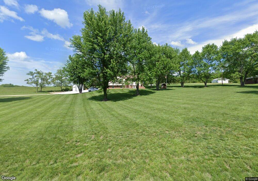
13417 Route B Saint Thomas, MO 65076
Estimated Value: $188,000 - $250,092
3
Beds
3
Baths
1,052
Sq Ft
$215/Sq Ft
Est. Value
About This Home
This home is located at 13417 Route B, Saint Thomas, MO 65076 and is currently estimated at $226,697, approximately $215 per square foot. 13417 Route B is a home located in Cole County with nearby schools including Blair Oaks Elementary School, Blair Oaks Middle School, and Blair Oaks High School.
Ownership History
Date
Name
Owned For
Owner Type
Purchase Details
Closed on
Jan 22, 2021
Sold by
Siebert Allison and Siebert Nathan
Bought by
Siebert Allison F and Siebert Nathaniel
Current Estimated Value
Home Financials for this Owner
Home Financials are based on the most recent Mortgage that was taken out on this home.
Original Mortgage
$138,150
Outstanding Balance
$123,060
Interest Rate
2.6%
Mortgage Type
Stand Alone Refi Refinance Of Original Loan
Estimated Equity
$103,637
Purchase Details
Closed on
Dec 27, 2019
Sold by
Schaefer Marlan A and Schaefer Lori L
Bought by
Goeller Allison and Siebert Nathan
Home Financials for this Owner
Home Financials are based on the most recent Mortgage that was taken out on this home.
Original Mortgage
$137,750
Interest Rate
3.6%
Mortgage Type
New Conventional
Create a Home Valuation Report for This Property
The Home Valuation Report is an in-depth analysis detailing your home's value as well as a comparison with similar homes in the area
Home Values in the Area
Average Home Value in this Area
Purchase History
| Date | Buyer | Sale Price | Title Company |
|---|---|---|---|
| Siebert Allison F | -- | None Available | |
| Goeller Allison | -- | None Available |
Source: Public Records
Mortgage History
| Date | Status | Borrower | Loan Amount |
|---|---|---|---|
| Open | Siebert Allison F | $138,150 | |
| Previous Owner | Goeller Allison | $137,750 |
Source: Public Records
Tax History Compared to Growth
Tax History
| Year | Tax Paid | Tax Assessment Tax Assessment Total Assessment is a certain percentage of the fair market value that is determined by local assessors to be the total taxable value of land and additions on the property. | Land | Improvement |
|---|---|---|---|---|
| 2025 | $1,253 | $21,690 | $3,420 | $18,270 |
| 2024 | $1,253 | $21,690 | $3,420 | $18,270 |
| 2023 | $1,188 | $21,690 | $3,420 | $18,270 |
| 2022 | $1,135 | $20,650 | $0 | $20,650 |
| 2021 | $1,134 | $20,650 | $0 | $20,650 |
| 2020 | $1,137 | $24,073 | $3,420 | $20,653 |
| 2019 | $1,138 | $23,769 | $3,420 | $20,349 |
| 2018 | $1,017 | $23,446 | $3,420 | $20,026 |
| 2017 | $957 | $20,653 | $3,420 | $17,233 |
| 2016 | -- | $20,653 | $3,420 | $17,233 |
| 2015 | $963 | $0 | $0 | $0 |
| 2014 | $963 | $20,653 | $3,420 | $17,233 |
Source: Public Records
Map
Nearby Homes
- 16405 Channel Ln
- 9504 State Highway B
- 9635 Tanner Bridge Rd
- 9412 Pleasant Hill Rd
- 4200 Windy Hill Dr
- LOT 1 Henley Estates
- LOT 9 Henley Estates
- LOT 10 Henley Estates
- LOT 11 Henley Estates
- LOT 12 Henley Estates
- LOT 13 Henley Estates
- 7307 State Route W
- 7221 Castle Rock Rd
- 000 Swift Rd
- 0 Heritage Hwy
- 4112 Pin Oak Dr
- 5710 Tanner Bridge Rd
- 12907 Penny Hollow Rd
- 609 Whispering Cedars Ln
- 605 Whispering Cedars Ln
- 13513 Route B
- 13510 Route B
- 211 Wild Cherry Ln
- 13407 Route B
- 13402 Route B
- 119 Wild Cherry Ln
- 13311 Route B
- 114 Cornerstone Ln
- 13314 Route B
- 120 Wild Cherry Ln
- 210 Wild Cherry Ln
- 222 Cornerstone Ln
- 3708 Upper Bottom Rd
- 205 Jeromes Ln
- 13205 Route B
- 13310 Route B
- 308 Wild Cherry Ln
- 13125 Route B
- 422 Wild Cherry Ln
- 13806 Route B
