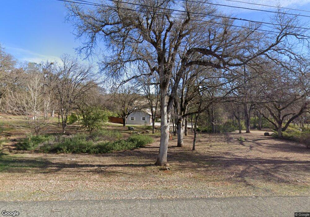
13420 Moss Rock Dr Auburn, CA 95602
Estimated Value: $756,000 - $1,019,852
4
Beds
3
Baths
3,508
Sq Ft
$266/Sq Ft
Est. Value
About This Home
This home is located at 13420 Moss Rock Dr, Auburn, CA 95602 and is currently estimated at $934,713, approximately $266 per square foot. 13420 Moss Rock Dr is a home located in Placer County with nearby schools including Placer High School.
Ownership History
Date
Name
Owned For
Owner Type
Purchase Details
Closed on
Mar 26, 2012
Sold by
Stevenson Diane L
Bought by
Stevenson Diane L
Current Estimated Value
Home Financials for this Owner
Home Financials are based on the most recent Mortgage that was taken out on this home.
Original Mortgage
$90,000
Interest Rate
4.05%
Mortgage Type
New Conventional
Purchase Details
Closed on
Nov 5, 2009
Sold by
Stevenson Diane L
Bought by
Stevenson Diane L
Home Financials for this Owner
Home Financials are based on the most recent Mortgage that was taken out on this home.
Original Mortgage
$116,500
Interest Rate
4.92%
Mortgage Type
New Conventional
Purchase Details
Closed on
Sep 16, 2009
Sold by
Stevenson Diane Lynn
Bought by
Stevenson Diane L
Home Financials for this Owner
Home Financials are based on the most recent Mortgage that was taken out on this home.
Original Mortgage
$116,500
Interest Rate
4.92%
Mortgage Type
New Conventional
Create a Home Valuation Report for This Property
The Home Valuation Report is an in-depth analysis detailing your home's value as well as a comparison with similar homes in the area
Home Values in the Area
Average Home Value in this Area
Purchase History
| Date | Buyer | Sale Price | Title Company |
|---|---|---|---|
| Stevenson Diane L | -- | Accommodation | |
| Stevenson Diane L | -- | First American Title Company | |
| Stevenson Diane L | -- | Fidelity National Title Comp | |
| Stevenson Diane L | -- | Fidelity National Title Co | |
| Stevenson Diane L | -- | None Available |
Source: Public Records
Mortgage History
| Date | Status | Borrower | Loan Amount |
|---|---|---|---|
| Closed | Stevenson Diane L | $90,000 | |
| Closed | Stevenson Diane L | $116,500 |
Source: Public Records
Tax History Compared to Growth
Tax History
| Year | Tax Paid | Tax Assessment Tax Assessment Total Assessment is a certain percentage of the fair market value that is determined by local assessors to be the total taxable value of land and additions on the property. | Land | Improvement |
|---|---|---|---|---|
| 2025 | $6,528 | $476,163 | $105,406 | $370,757 |
| 2023 | $6,528 | $457,675 | $101,314 | $356,361 |
| 2022 | $6,284 | $448,702 | $99,328 | $349,374 |
| 2021 | $6,112 | $439,905 | $97,381 | $342,524 |
| 2020 | $6,079 | $435,395 | $96,383 | $339,012 |
| 2019 | $5,993 | $426,859 | $94,494 | $332,365 |
| 2018 | $5,749 | $418,491 | $92,642 | $325,849 |
| 2017 | $5,672 | $410,286 | $90,826 | $319,460 |
| 2016 | $5,583 | $402,243 | $89,046 | $313,197 |
| 2015 | $5,483 | $396,202 | $87,709 | $308,493 |
| 2014 | $5,422 | $388,442 | $85,991 | $302,451 |
Source: Public Records
Map
Nearby Homes
- 13975 Moss Rock Dr
- 4721 Grass Valley Hwy
- 3730 Kimo Way
- 0 Dry Creek Rd Unit 225060351
- 11761 Graeagle Ln
- 5900 Stanley Dr
- 4203 Richardson Dr
- 2790 Black Oak Rd
- 3022 Red Deer Ct
- 3116 Sunshine Meadow Ln
- 11614 Sherwood Way
- 5215 Meadow View Ln
- 4765 Garden Ct
- 4960 Creekhaven Rd
- 4 La Dolce Vita
- 24316 Timber Ridge Dr
- 5255 Stanley Dr
- 3765 Grass Valley Hwy Unit 263
- 3765 Grass Valley Hwy Unit 117
- 3765 Grass Valley Hwy Unit 226
- 13450 Moss Rock Dr
- 13380 Moss Rock Dr
- 13480 Moss Rock Dr
- 13405 Moss Rock Dr
- 13455 Moss Rock Dr
- 3515 Wasatch Dr
- 3615 Wasatch Dr
- 13355 Moss Rock Dr
- 3485 Wasatch Dr
- 13280 Moss Rock Dr
- 3685 Wasatch Dr
- 13485 Moss Rock Dr
- 4989 Florence Ct
- 13530 Moss Rock Dr
- 3520 Wasatch Dr
- 12240 Doug Oest Rd
- 13275 Moss Rock Dr
- 3435 Wasatch Dr
- 13505 Moss Rock Dr
- 4979 Florence Ct
