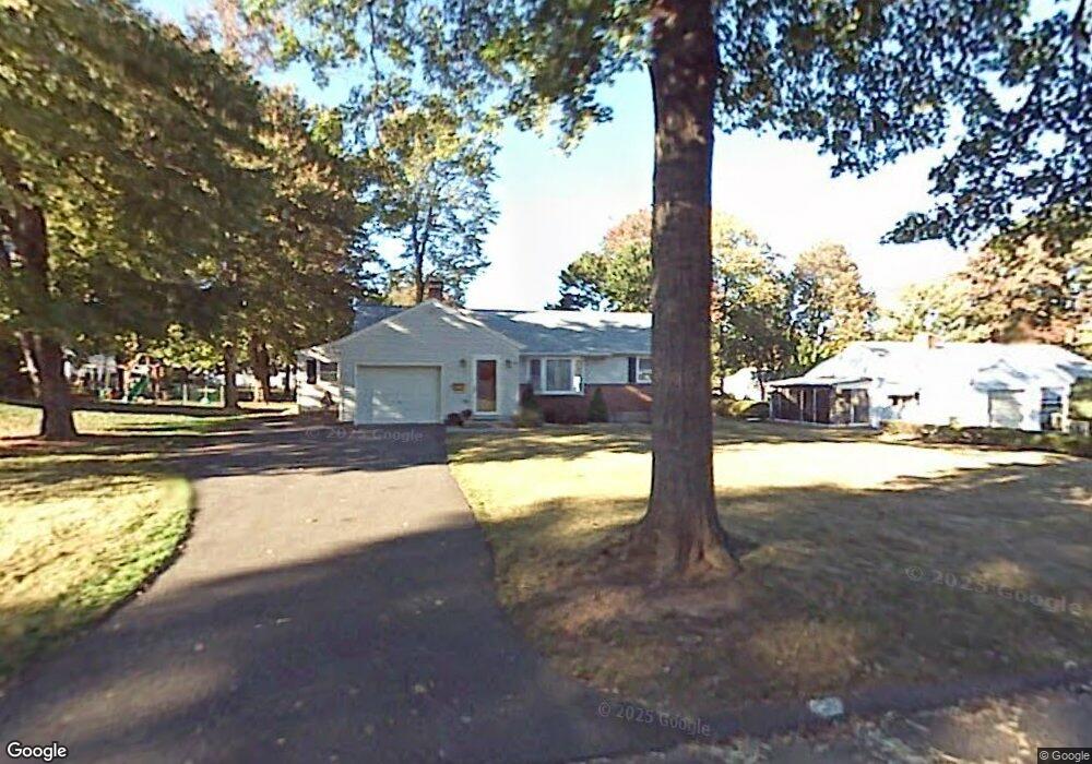
135 Clearfield Rd Wethersfield, CT 06109
Estimated Value: $377,000 - $430,000
2
Beds
2
Baths
1,672
Sq Ft
$245/Sq Ft
Est. Value
About This Home
This home is located at 135 Clearfield Rd, Wethersfield, CT 06109 and is currently estimated at $409,365, approximately $244 per square foot. 135 Clearfield Rd is a home located in Hartford County with nearby schools including Emerson-Williams School, Silas Deane Middle School, and Wethersfield High School.
Ownership History
Date
Name
Owned For
Owner Type
Purchase Details
Closed on
May 29, 2025
Sold by
Amenta Susan P
Bought by
Canzonetti Kristina and Canzonetti Kathryn
Current Estimated Value
Purchase Details
Closed on
May 7, 2001
Sold by
Stefano John Anthony
Bought by
Hooper Susan A
Home Financials for this Owner
Home Financials are based on the most recent Mortgage that was taken out on this home.
Original Mortgage
$100,000
Interest Rate
6.85%
Purchase Details
Closed on
Jun 29, 1992
Sold by
Depasquale Marilyn and Sweeney Nancy S
Bought by
Stefano John
Home Financials for this Owner
Home Financials are based on the most recent Mortgage that was taken out on this home.
Original Mortgage
$120,600
Interest Rate
8.57%
Mortgage Type
Purchase Money Mortgage
Create a Home Valuation Report for This Property
The Home Valuation Report is an in-depth analysis detailing your home's value as well as a comparison with similar homes in the area
Home Values in the Area
Average Home Value in this Area
Purchase History
| Date | Buyer | Sale Price | Title Company |
|---|---|---|---|
| Canzonetti Kristina | -- | None Available | |
| Canzonetti Kristina | -- | None Available | |
| Hooper Susan A | $167,900 | -- | |
| Hooper Susan A | $167,900 | -- | |
| Stefano John | $134,000 | -- |
Source: Public Records
Mortgage History
| Date | Status | Borrower | Loan Amount |
|---|---|---|---|
| Previous Owner | Stefano John | $100,000 | |
| Previous Owner | Stefano John | $120,600 |
Source: Public Records
Tax History
| Year | Tax Paid | Tax Assessment Tax Assessment Total Assessment is a certain percentage of the fair market value that is determined by local assessors to be the total taxable value of land and additions on the property. | Land | Improvement |
|---|---|---|---|---|
| 2025 | $10,636 | $258,020 | $94,740 | $163,280 |
| 2024 | $7,318 | $169,320 | $73,510 | $95,810 |
| 2023 | $7,074 | $169,320 | $73,510 | $95,810 |
| 2022 | $6,956 | $169,320 | $73,510 | $95,810 |
| 2021 | $6,886 | $169,320 | $73,510 | $95,810 |
| 2020 | $6,890 | $169,320 | $73,510 | $95,810 |
| 2019 | $6,898 | $169,320 | $73,510 | $95,810 |
| 2018 | $7,185 | $176,200 | $71,500 | $104,700 |
| 2017 | $7,007 | $176,200 | $71,500 | $104,700 |
| 2016 | $6,791 | $176,200 | $71,500 | $104,700 |
| 2015 | $6,729 | $176,200 | $71,500 | $104,700 |
| 2014 | $6,474 | $176,200 | $71,500 | $104,700 |
Source: Public Records
Map
Nearby Homes
- 129 Clearfield Rd
- 139 Clearfield Rd
- 149 Dale Rd
- 155 Dale Rd
- 143 Dale Rd
- 143 Clearfield Rd
- 121 Clearfield Rd
- 132 Clearfield Rd
- 128 Clearfield Rd
- 138 Clearfield Rd
- 124 Clearfield Rd
- 120 Clearfield Rd
- 144 Clearfield Rd
- 149 Clearfield Rd
- 171 Dale Rd
- 127 Dale Rd
- 148 Clearfield Rd
- 351 Brimfield Rd
- 347 Brimfield Rd
- 357 Brimfield Rd
Your Personal Tour Guide
Ask me questions while you tour the home.